Back to the librarykm 0–1km 3–3km 5–9km 18–25km 28–29km 30–31km 31–32km 33–37km 41–42km 43–45km 48–55km 60–61
GravelMade by RouteCasterRound trip
Waterside route along the Enns and Gaflenzbach
Distance
66 km
Ascent
2,805 m
Highest point
1,113 m
27% paved
Start from your location
Ride there from home: we find the shortest way to the loop and start the loop from there.
The ride
This ride starts and finishes in Kleinreifling and covers 66.3 km with 2805 m of climbing. Most of it runs unpaved, so expect a mix of surfaces as you follow the Enns river out of the village. The route then heads along the Gaflenzbach river before looping back home. A steady day of climbing and varied surface, all beginning and ending in the same spot.
Climbs
Climb 1Hill
1 km at 5.2% · max 14.3%
Climb 2Hill
0.9 km at 3.2% · max 10.1%
Climb 3Cat. 2
4.7 km at 11.8% · max 39.7%
Climb 4Cat. 2
7.5 km at 7.9% · max 50.3%
Climb 5Hill
1.5 km at 5.2% · max 22.8%
Climb 6Hill
0.1 km at 27.4% · max 27.4%
Climb 7Hill
0.8 km at 8.4% · max 18.1%
Climb 8Cat. 2
3.7 km at 9.8% · max 27.5%
MooshöheHill
1.6 km at 4.7% · max 10.3%
Climb 10Hill
1.2 km at 5.4% · max 19.2%
Climb 11Cat. 2
6.5 km at 9.4% · max 37.6%
Climb 12Cat. 4
1 km at 9.4% · max 20.2%
Routes nearby

Road bike100% paved
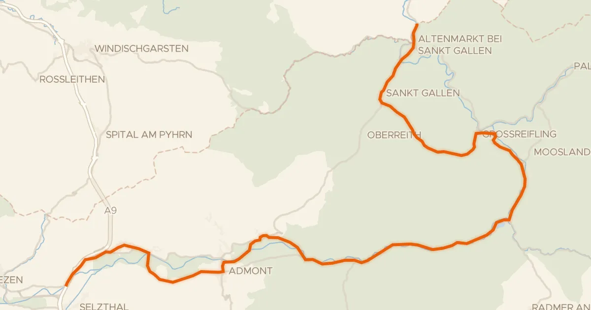
Waterside route between Enns and Reichramingbach
74 km↑ 1,333 m20 km away
Road bike99% paved
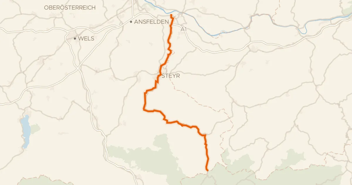
Ennsradweg (Steiermark Abs. Ost)
69 km↑ 1,043 m21 km away
Erbsattel
Road bike96% paved
Ennstalweg (Oberösterreich)
92 km↑ 1,378 m21 km away

Road bike100% paved
Rivers between Ybbs and Url
80 km↑ 1,031 m23 km away

Gravel64% paved
Castles between Haag and Kronstorf
63 km↑ 830 m34 km away

Road bike100% paved
Castles between Krems and Steyr
82 km↑ 1,239 m36 km away