Back to the librarykm 0–1km 1–2
GravelMade by RouteCasterRound trip
Waterside loop from Osterzhausen to the Lech
Distance
57 km
Ascent
452 m
Highest point
526 m
13% paved
Start from your location
Ride there from home: we find the shortest way to the loop and start the loop from there.
The ride
Roll out of Osterzhausen and straight into the Ebenrieder Forst, where the trees take over. The route then follows the Friedberger Ach, swings by the Lech, and threads through the Lechauen bei Thierhaupten nature reserve. With 56.8 km and 452 m of climbing, most of it rolls over unpaved ground. Back to Osterzhausen you go.
Climbs
Climb 1Hill
0.7 km at 8.4% · max 15.3%
Climb 2Hill
1 km at 5.6% · max 13.5%
Routes nearby
Road bike98% paved
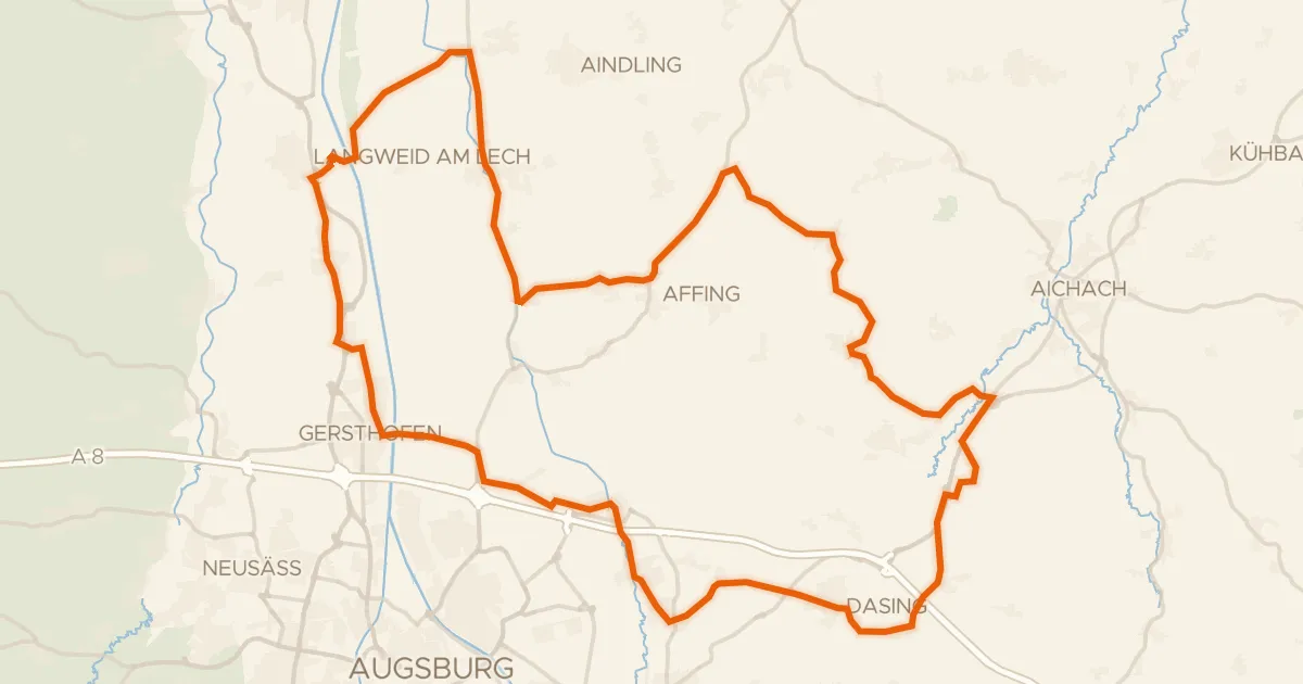
Castles along the Paar
70 km↑ 458 m12 km away
Gravel22% paved
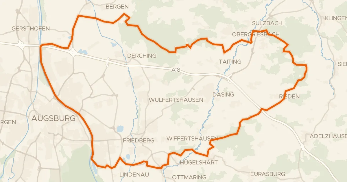
Forest route between Tattenhausen and Miedering
65 km↑ 677 m19 km away
Road bike99% paved
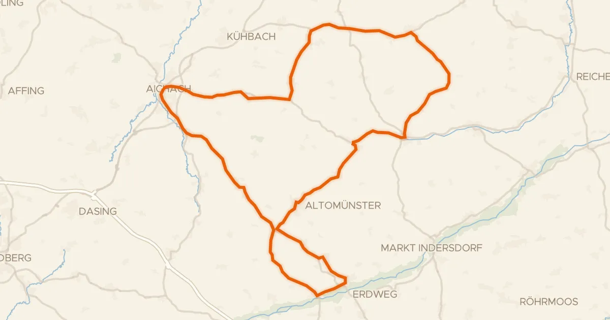
From Aichach over the hills to Hilgertshausen
75 km↑ 674 m26 km away
Road bike97% paved
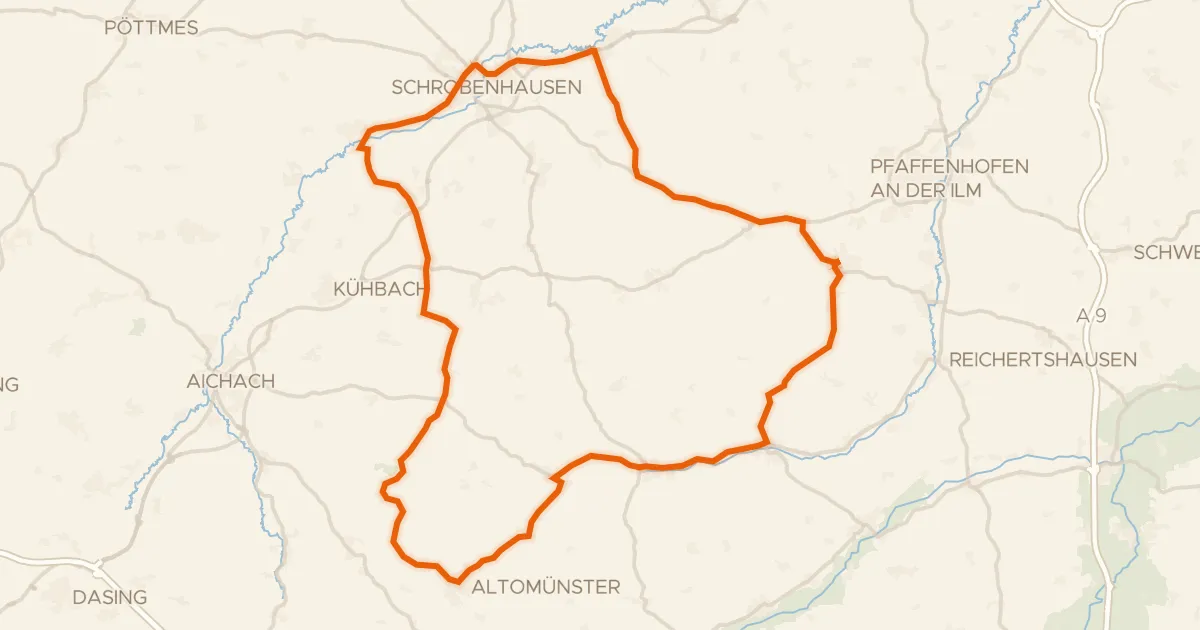
Waterside route from Schiltberg to Altomünster
75 km↑ 686 m27 km away
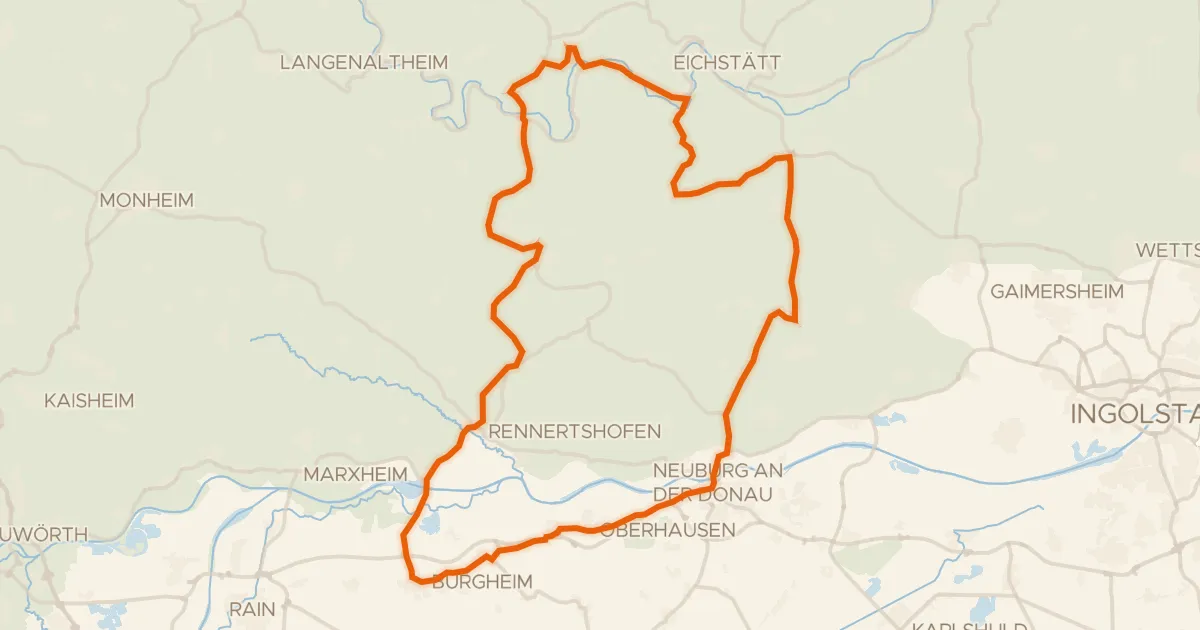
Road bike98% paved
Castles between Wellheim and Nassenfels
78 km↑ 833 m28 km away
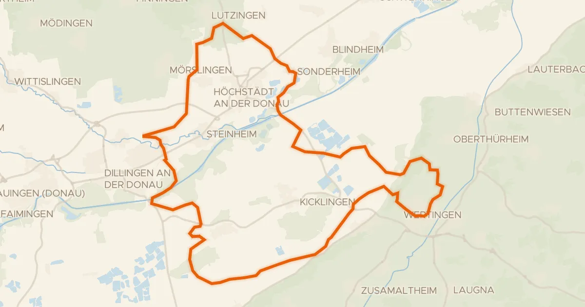
Gravel33% paved
Gravel loop through Geopark Ries
60 km↑ 211 m29 km away