Back to the librarykm 1 · Jul 2026 · © ray66 / Mapillary, CC BY-SA km 37 · Jun 2020 · © changchun1 / Mapillary, CC BY-SA
GravelMade by RouteCasterRound trip
Gravel loop through Geopark Ries
Distance
60 km
Ascent
211 m
Highest point
475 m
33% paved
Start from your location
Ride there from home: we find the shortest way to the loop and start the loop from there.
The ride
Roll out of Wertingen and past Schloss Wertingen before the road gives way to gravel through the Westliche Wälder nature reserve. Onward you thread the Westerried reserve and the Geopark Ries, with 67% of the 60.5 km unpaved. The Donau appears before the route turns you back toward Wertingen.
Along the way
Routes nearby
Road bike98% paved
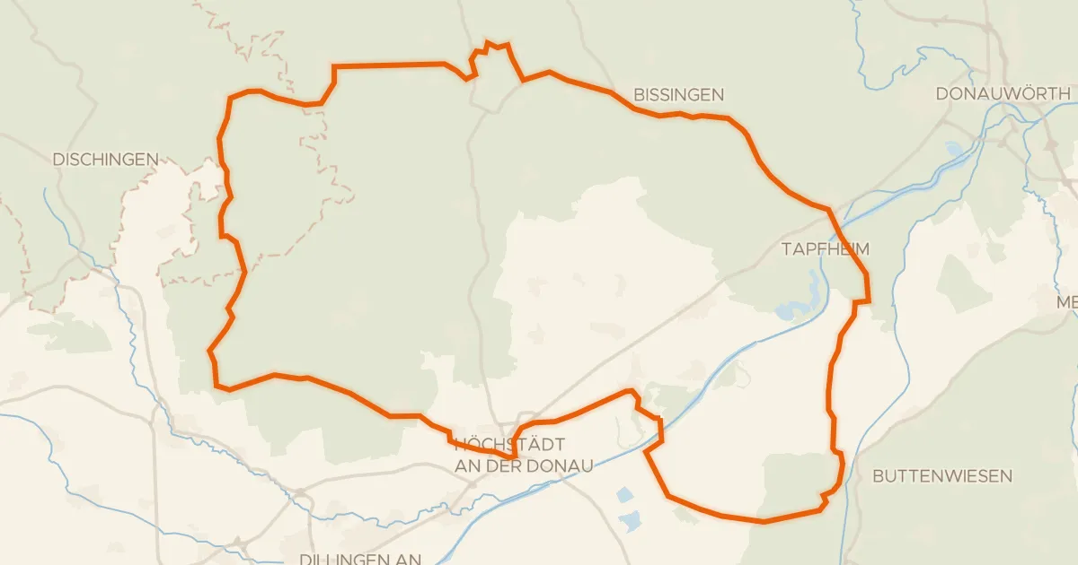
Castles between Amerdingen and Donaumünster
75 km↑ 464 m14 km away
Road bike96% paved
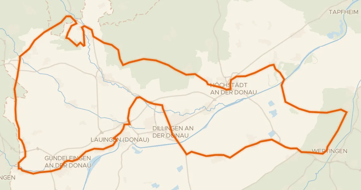
Castles between Lauingen and Bächingen an der Brenz
98 km↑ 443 m14 km away
Gravel13% paved
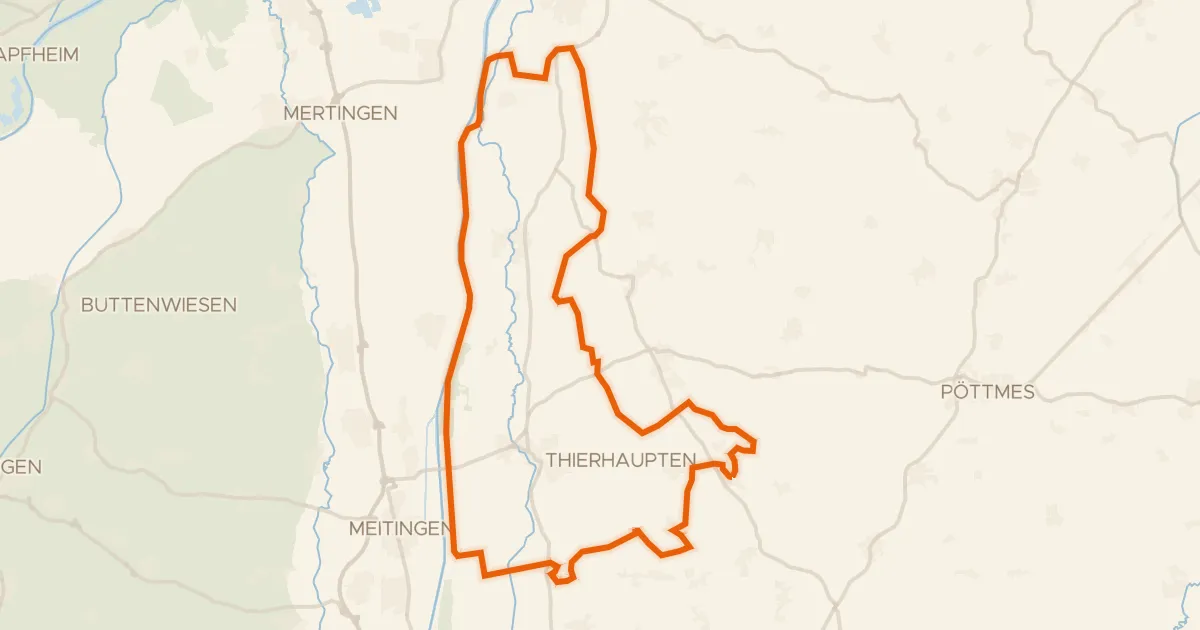
Waterside loop from Osterzhausen to the Lech
57 km↑ 452 m19 km away
Gravel17% paved
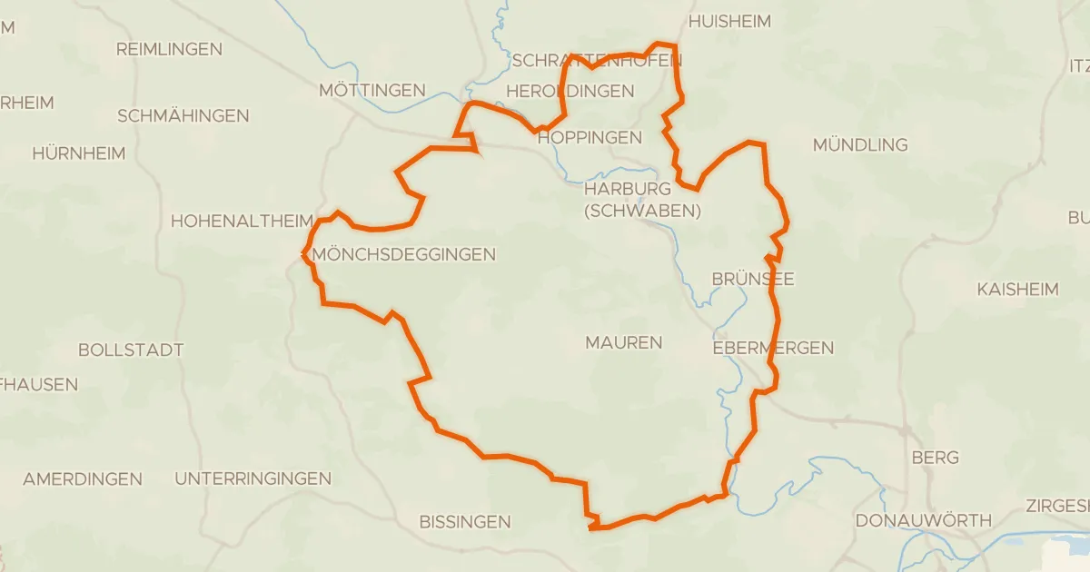
Gravel between the Wörnitz and the Eger
55 km↑ 744 m23 km away
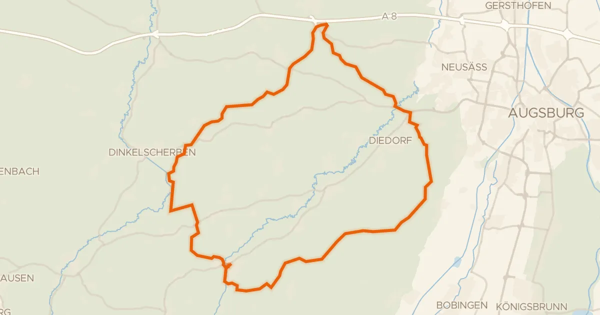
Gravel17% paved
Waterside route along the Zusam and Schmutter
60 km↑ 823 m24 km away
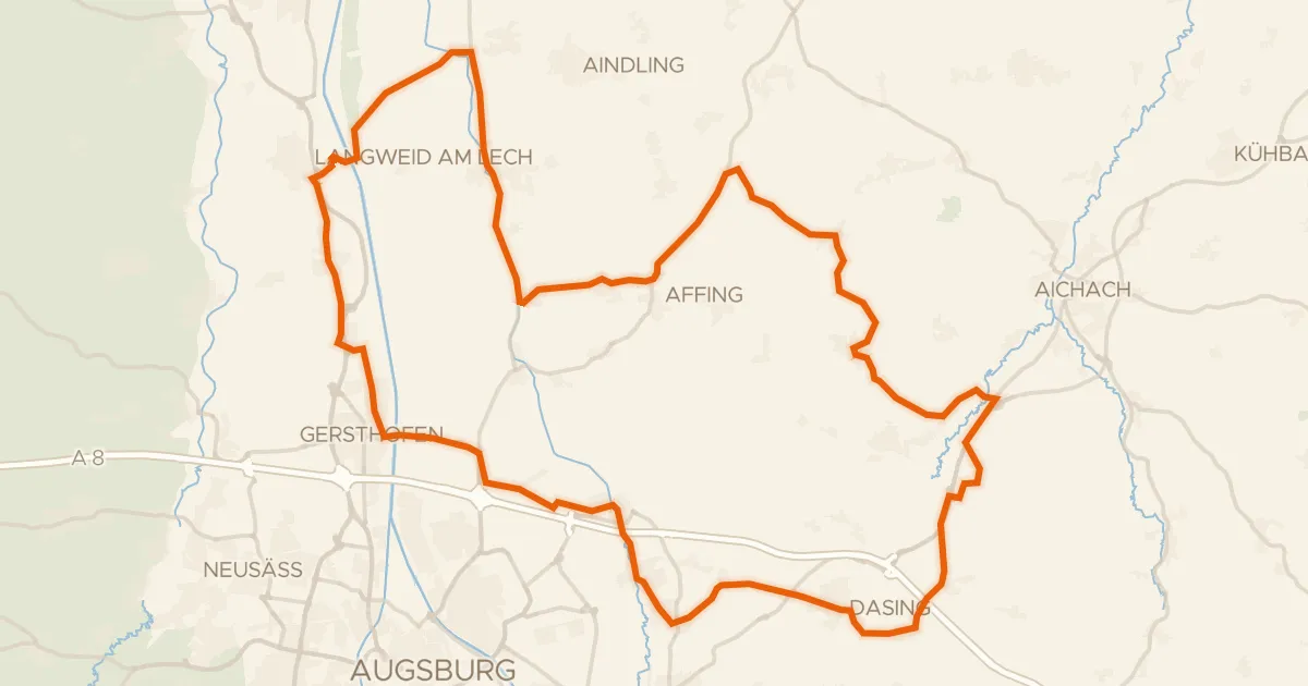
Road bike98% paved
Castles along the Paar
70 km↑ 458 m25 km away