Back to the librarykm 4–4km 14–15km 17–19km 21–22km 36–39km 41–42km 43–43km 49–51
GravelMade by RouteCasterRound trip
Gravel between the Wörnitz and the Eger
Distance
55 km
Ascent
744 m
Highest point
587 m
17% paved
Start from your location
Ride there from home: we find the shortest way to the loop and start the loop from there.
The ride
Roll out of Mönchsdeggingen and let the route unfold over 54.9 km, most of it unpaved. You follow the Eger river, then the Wörnitz river, before the way turns back toward home. With 744 m of climbing along the way, the legs will know they've been out. The mix of paved and unpaved keeps every stretch feeling a little different.
Climbs
Climb 1Hill
0.4 km at 7.3% · max 11.1%
Climb 2Hill
0.8 km at 4.5% · max 13.4%
Climb 3Cat. 4
1.7 km at 6.2% · max 18.6%
Climb 4Hill
0.8 km at 6% · max 14.1%
Climb 5Cat. 4
3.2 km at 3.4% · max 16.8%
Climb 6Hill
1 km at 3% · max 7.6%
Climb 7Hill
0.8 km at 3.5% · max 11.2%
Climb 8Hill
1.1 km at 6.4% · max 11.3%
Routes nearby
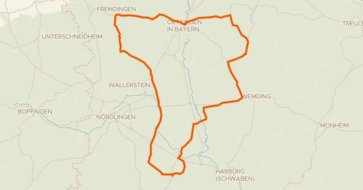
Road bike100% paved
Castles between Eger and Wörnitz
73 km↑ 461 m11 km away
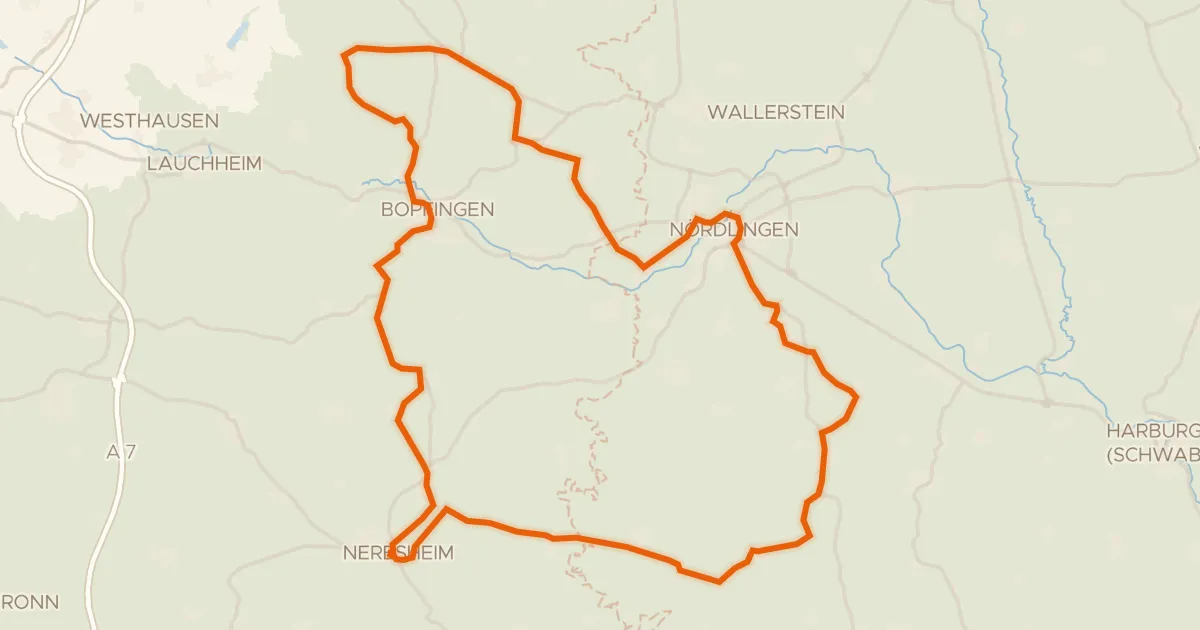
Road bike100% paved
Hill ride from Neresheim to Baldern
76 km↑ 867 m12 km away
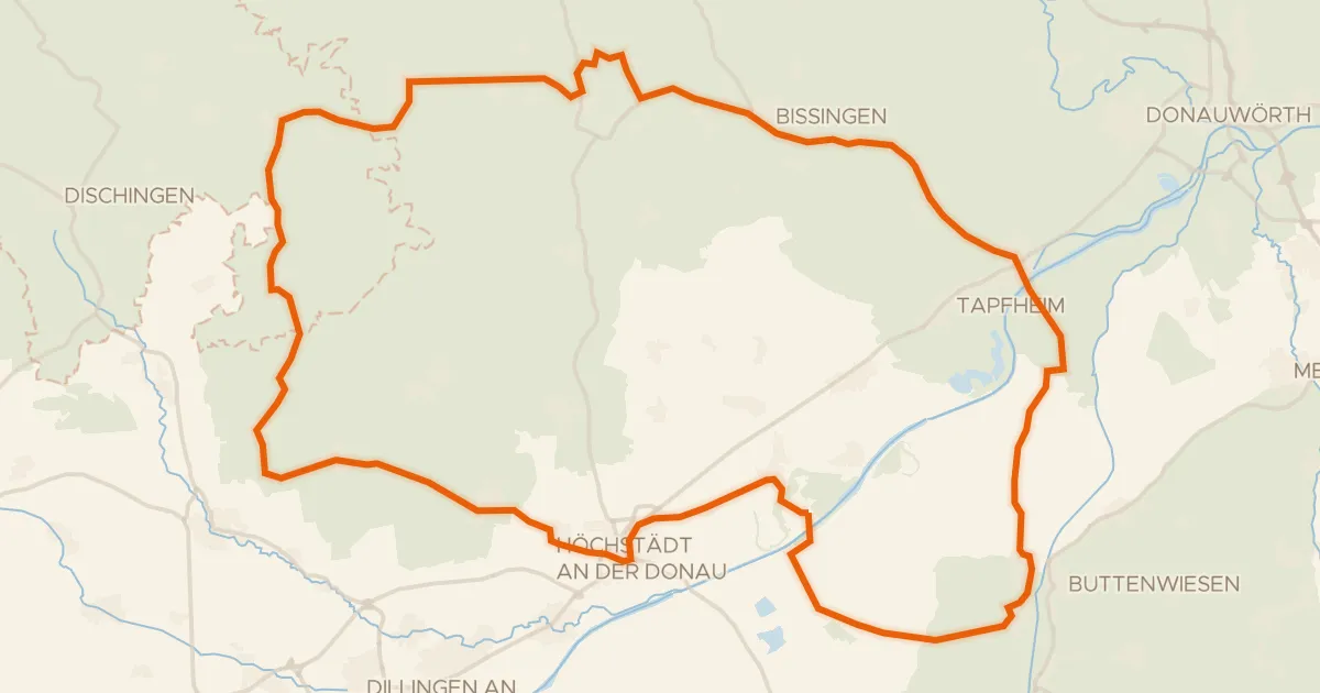
Road bike98% paved
Castles between Amerdingen and Donaumünster
75 km↑ 464 m13 km away
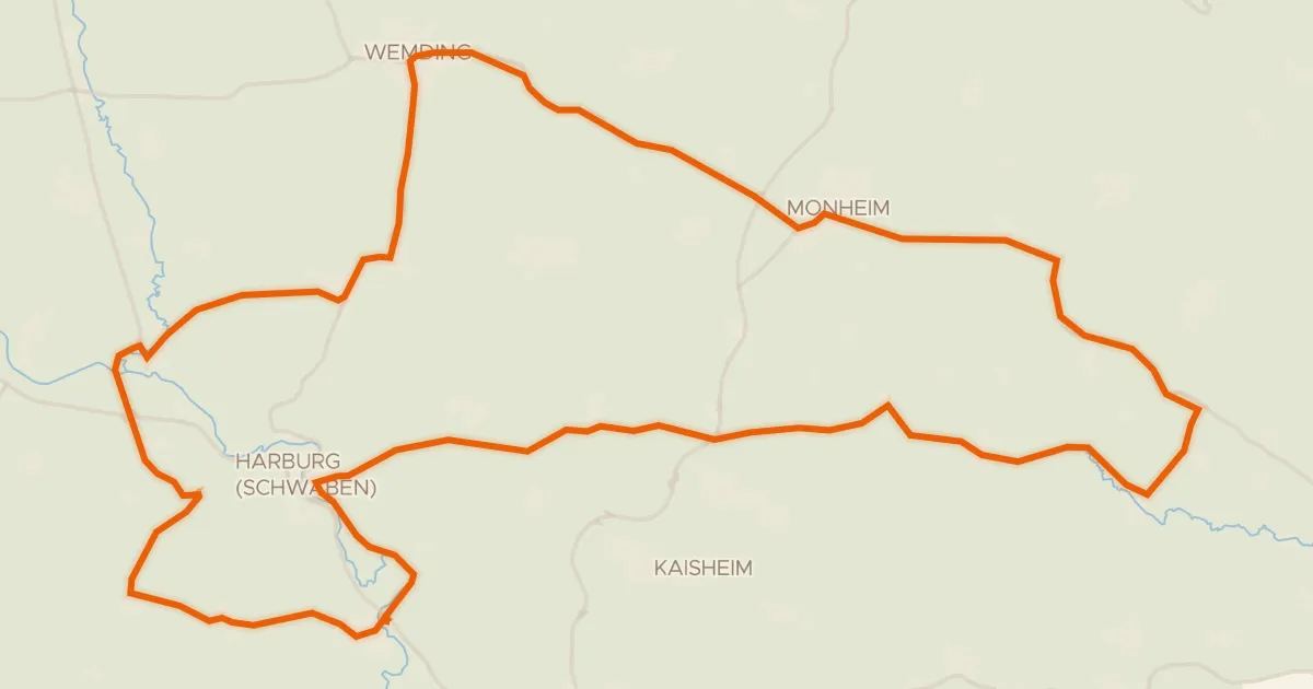
Road bike100% paved
Hills between Wemding and Monheim
78 km↑ 755 m17 km away
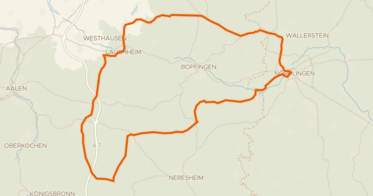
Road bike100% paved
Hills along the Eger
73 km↑ 790 m19 km away
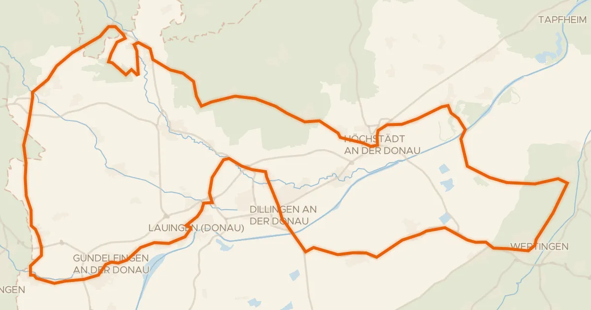
Road bike96% paved
Castles between Lauingen and Bächingen an der Brenz
98 km↑ 443 m19 km away