Back to the librarykm 5 · Sep 2021 · © wegatest / Mapillary, CC BY-SA km 37 · Apr 2025 · © soulcover / Mapillary, CC BY-SA km 50 · Apr 2025 · © soulcover / Mapillary, CC BY-SA km 73 · Feb 2024 · © tasmaniadevil / Mapillary, CC BY-SA km 4–6km 7–9km 10–11km 25–28km 29–30km 67–69km 74–75
Road bikeMade by RouteCasterRound trip
Hills between Wemding and Monheim
Distance
78 km
Ascent
755 m
Highest point
575 m
100% paved
Start from your location
Ride there from home: we find the shortest way to the loop and start the loop from there.
The ride
Roll out from Parkeerplaats Priel and the Naturpark Altmühltal opens the ride. Past Priel nature reserve, on through Geopark Ries, then Schloss Gosheim, before the Wörnitz river guides you back. 77.6 km, all paved, 755 m of climbing — a loop that returns where it began.
Along the way
Climbs
Climb 1Hill
2 km at 3.4% · max 9.2%
Climb 2Hill
1.5 km at 3.6% · max 5.8%
Climb 3Hill
0.9 km at 4.6% · max 11.7%
Climb 4Cat. 4
3.3 km at 3.3% · max 10.4%
Climb 5Hill
0.7 km at 4.3% · max 7.8%
Climb 6Cat. 4
1.7 km at 5.5% · max 11.1%
Climb 7Hill
0.7 km at 4.1% · max 9.4%
Routes nearby
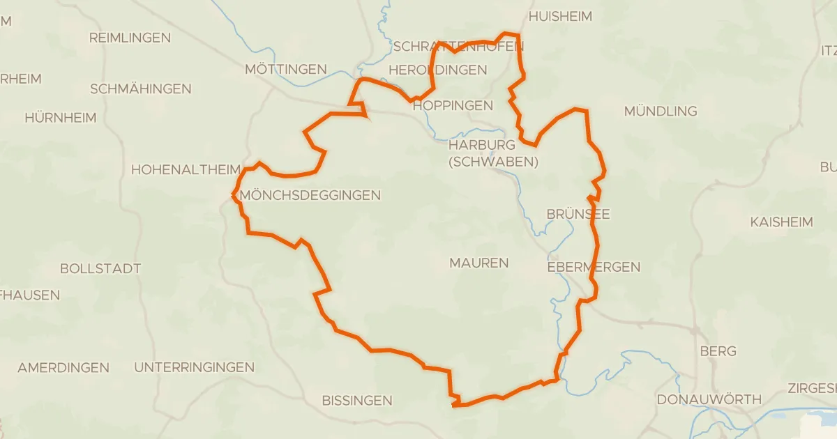
Gravel17% paved
Gravel between the Wörnitz and the Eger
55 km↑ 744 m4 km away
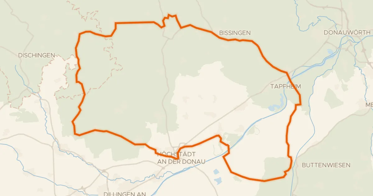
Road bike98% paved
Castles between Amerdingen and Donaumünster
75 km↑ 464 m15 km away
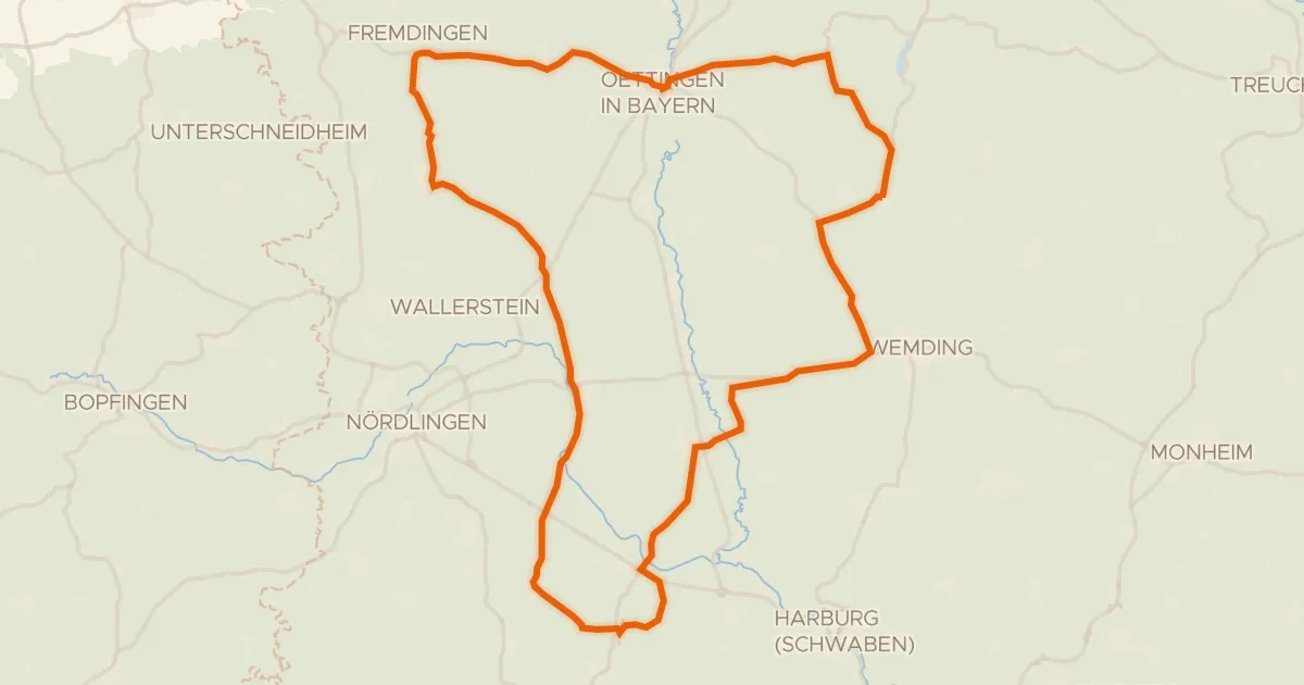
Road bike100% paved
Castles between Eger and Wörnitz
73 km↑ 461 m16 km away
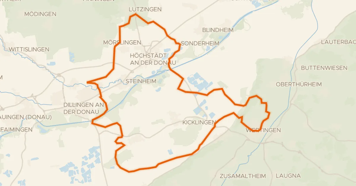
Gravel33% paved
Gravel loop through Geopark Ries
60 km↑ 211 m21 km away
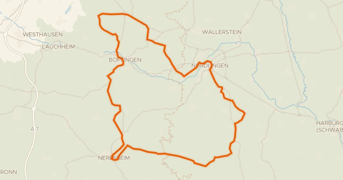
Road bike100% paved
Hill ride from Neresheim to Baldern
76 km↑ 867 m22 km away
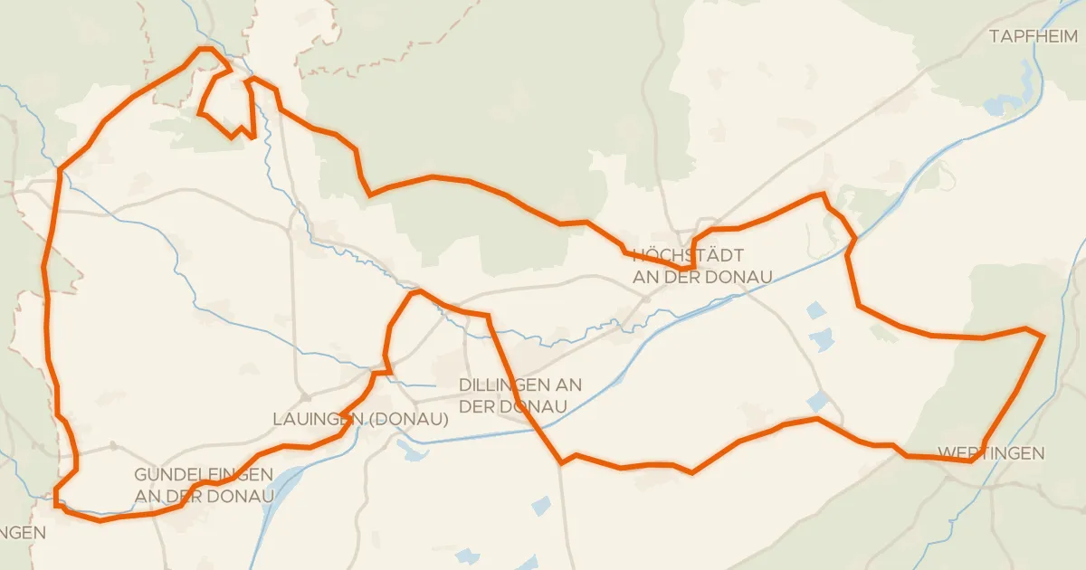
Road bike96% paved
Castles between Lauingen and Bächingen an der Brenz
98 km↑ 443 m23 km away