Back to the librarykm 8 · Oct 2026 · © eisbzs / Mapillary, CC BY-SA km 36 · Feb 2026 · © soulcover / Mapillary, CC BY-SA km 42 · Sep 2026 · © Crotaro / Mapillary, CC BY-SA km 64 · Sep 2026 · © Crotaro / Mapillary, CC BY-SA km 18–19km 27–28
Road bikeMade by RouteCasterRound trip
From Aichach over the hills to Hilgertshausen
Distance
75 km
Ascent
674 m
Highest point
539 m
99% paved
Start from your location
Ride there from home: we find the shortest way to the loop and start the loop from there.
The ride
Roll out of Aichach and follow the Ilm before the route slips into the Glonntal nature reserve. Next up is Schloß Unterweikertshofen, then you trace the Glonn and the Ecknach on the way back. It's 74.5 km with 674 m of climbing, almost all of it paved. Aichach waits at the end.
Along the way
Climbs
Climb 1Hill
0.9 km at 5.5% · max 14.7%
Climb 2Hill
0.4 km at 7.5% · max 9.3%
Routes nearby
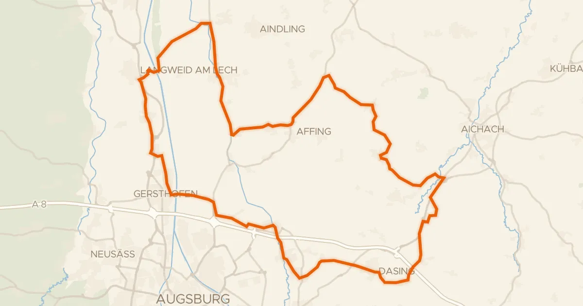
Road bike98% paved
Castles along the Paar
70 km↑ 458 m11 km away
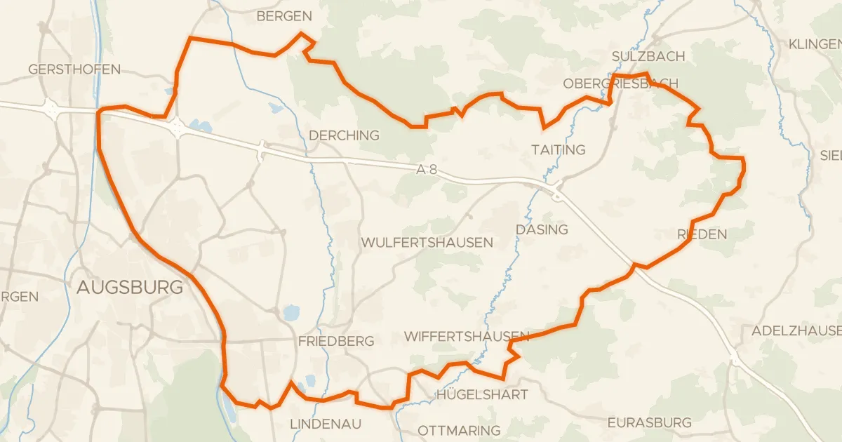
Gravel22% paved
Forest route between Tattenhausen and Miedering
65 km↑ 677 m12 km away
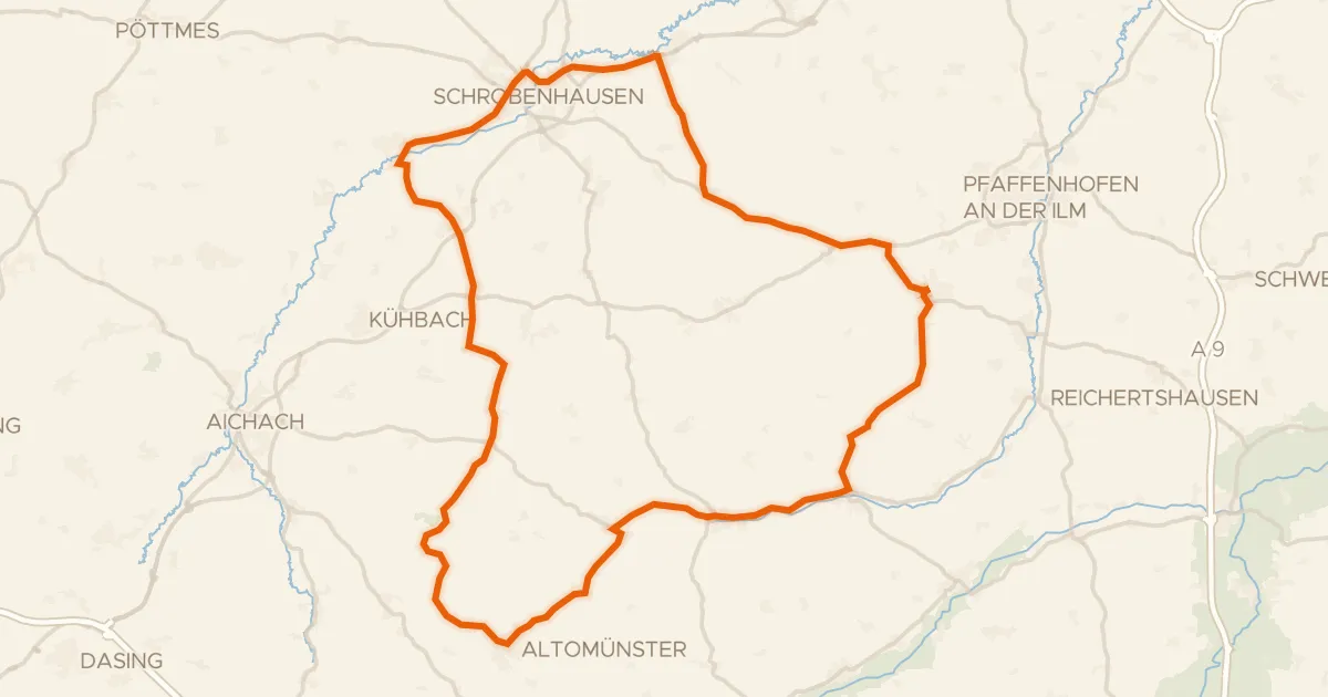
Road bike97% paved
Waterside route from Schiltberg to Altomünster
75 km↑ 686 m15 km away
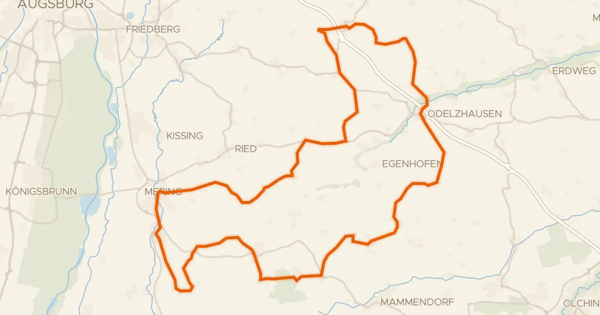
Road bike99% paved
Forest ride between Mering and Odelzhausen
75 km↑ 595 m19 km away
Gravel23% paved
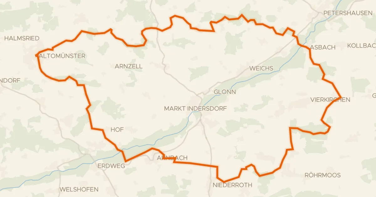
Waterside route from Rettenbach to Asbach
61 km↑ 643 m21 km away
Gravel13% paved
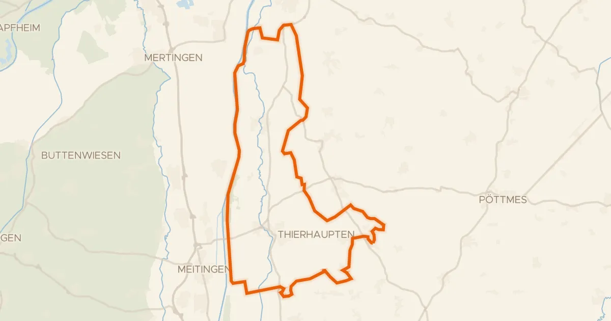
Waterside loop from Osterzhausen to the Lech
57 km↑ 452 m21 km away