Back to the librarykm 62–63km 63–64
Road bikeMade by RouteCasterRound trip
Waterside between La Sauer and La Moder
Distance
71 km
Ascent
392 m
Highest point
211 m
100% paved
Start from your location
Ride there from home: we find the shortest way to the loop and start the loop from there.
The ride
Roll out of Seebach and follow the Eberbach river out of the village, then pick up the Moder as the road settles into its rhythm. Next comes the Sauer, and after it the Parc naturel régional des Vosges du Nord, where the route loops through the reserve before turning back. All 71.3 km are paved, so the riding stays on tarmac the whole way, with 392 m of climbing spread across the day. Rivers, a nature reserve, and home again to Seebach.
Climbs
Climb 1Hill
1 km at 3.4% · max 8.5%
Climb 2Hill
0.7 km at 4.9% · max 6.8%
Routes nearby
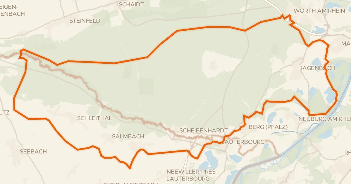
Gravel13% paved
Rondje Château Saint-Rémy d'Altenstadt en Lauterniederung
69 km↑ 240 m11 km away
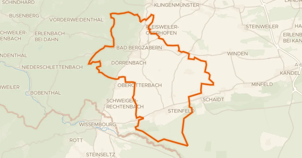
Gravel39% paved
Rondje Stäffelsbergturm en Lauterniederung
58 km↑ 820 m12 km away

Road bike100% paved
Rondje Château de Froeschwiller en La Moder
75 km↑ 597 m17 km away
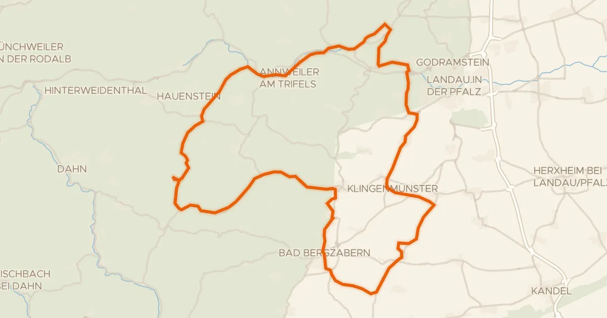
Road bike94% paved
Rondje Burg Landeck en Schloss Bad Bergzabern
74 km↑ 855 m21 km away

Gravel19% paved
Rondje La Moder en La Zinsel du Nord
60 km↑ 149 m22 km away
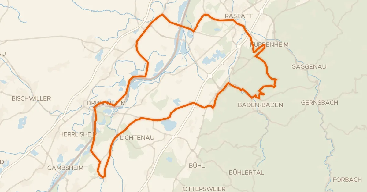
Road bike98% paved
Rondje Altes Schloss en Schloss Favorite
90 km↑ 522 m24 km away