Back to the librarykm 3–7km 10–11km 13–14km 14–15km 33–36
GravelMade by RouteCasterRound trip
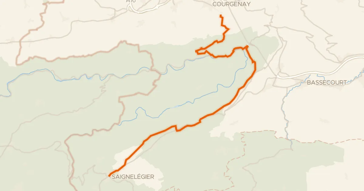
Waterside between L'Allaine and L'Allan
Distance
61 km
Ascent
741 m
Highest point
586 m
47% paved
Start from your location
Ride there from home: we find the shortest way to the loop and start the loop from there.
The ride
From Delle, this 61.4 km loop rolls out past the river L'Allaine and the castle Tour de Milandre before following La Savoureuse. Next comes the Réserve naturelle régionale de la basse vallée de la Savoureuse, then the river L'Allan, and back to Delle. With 741 m of climbing and a surface that's 47% paved and 53% unpaved, it keeps you honest from start to finish.
Climbs
Climb 1Cat. 4
3.6 km at 4.4% · max 33.2%
Climb 2Hill
0.9 km at 4.1% · max 8.6%
Climb 3Hill
0.6 km at 5.8% · max 16.9%
Climb 4Hill
1.2 km at 3.6% · max 10.7%
Climb 5Cat. 4
2.8 km at 3.2% · max 14.1%
Routes nearby

Road bike100% paved
Rondje Château de Porrentruy en L'Allaine
72 km↑ 775 m7 km away

Gravel25% paved
Rondje La Bourbeuse en La Madeleine
63 km↑ 499 m12 km away

Gravel19% paved
Gravel loop along the Allaine
59 km↑ 1,643 m13 km away

Road bike100% paved
Rondje Château de Miécourt en L'Allaine
78 km↑ 637 m14 km away

Gravel41% paved
Rondje Le Doubs en L'Allan
57 km↑ 1,228 m18 km away
Touring91% paved
Route du Jura
36 km↑ 1,156 m21 km away
Col de la Croix