Back to the library
Road bikeRouteCasterRound trip

Rondje Wondreb en Röslau

Distance
75 km
Ascent
978 m
Highest point
728 m
99% paved

Start from your location

Ride there from home: we find the shortest way to the loop and start the loop from there.

The ride

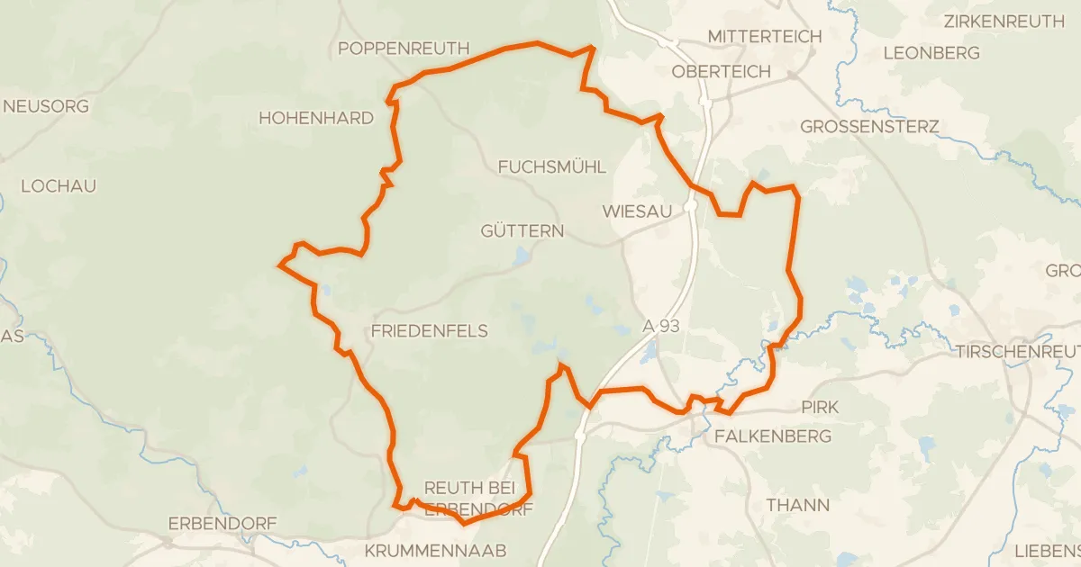
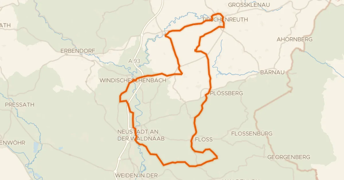
Roll out of Hardeck and follow the Wondreb river before the route climbs into Naturpark Steinwald, then on into Naturpark Fichtelgebirge. With 978 m of elevation gain across 74.6 km, the legs will know they've been working, even though nearly all of it is paved. The Röslau river escorts you along the way back toward Hardeck, where the loop closes. Two nature reserves, two rivers, one satisfying day on the bike.
Along the way

km 17 · May 2025 · © SandStorm / Mapillary, CC BY-SA
km 36 · Aug 2025 · © kopra / Mapillary, CC BY-SA
km 39 · May 2025 · © kopra / Mapillary, CC BY-SA
km 64 · Sep 2026 · © r66 / Mapillary, CC BY-SA

Climbs

Climb 1Cat. 4
3.5 km at 4% · max 10.2%
km 0–4
Climb 2Hill
0.7 km at 5.3% · max 11.2%
km 9–9
Climb 3Cat. 3
5 km at 4% · max 12.6%
km 23–28
Climb 4Hill
0.8 km at 3.5% · max 11.3%
km 50–51
Climb 5Cat. 4
3.9 km at 3.7% · max 12.4%
km 55–58

Routes nearby

More cycling routes in Germany →