Back to the librarykm 28 · Nov 2023 · © SuedOstLink / Mapillary, CC BY-SA km 10–12km 47–48km 49–51km 61–63km 64–65
GravelRouteCasterRound trip
Rondje Wondreb-Aue en Naturpark Steinwald
Distance
69 km
Ascent
819 m
Highest point
655 m
11% paved
Start from your location
Ride there from home: we find the shortest way to the loop and start the loop from there.
The ride
From Waldsassen the route rolls out along the Wondreb river, then through the Wondreb-Aue nature reserve. Next comes the Naturpark Steinwald, another nature reserve, before the loop turns back to Waldsassen. Of the 68.7 km, most run unpaved, with 819 m of climbing along the way.
Along the way
Climbs
Climb 1Hill
2 km at 3.1% · max 13.7%
Climb 2Hill
0.7 km at 3.8% · max 5.3%
Climb 3Cat. 4
2.6 km at 4.1% · max 9.7%
Climb 4Hill
1.5 km at 3.7% · max 7.8%
Climb 5Hill
0.8 km at 3.1% · max 6.8%
Routes nearby
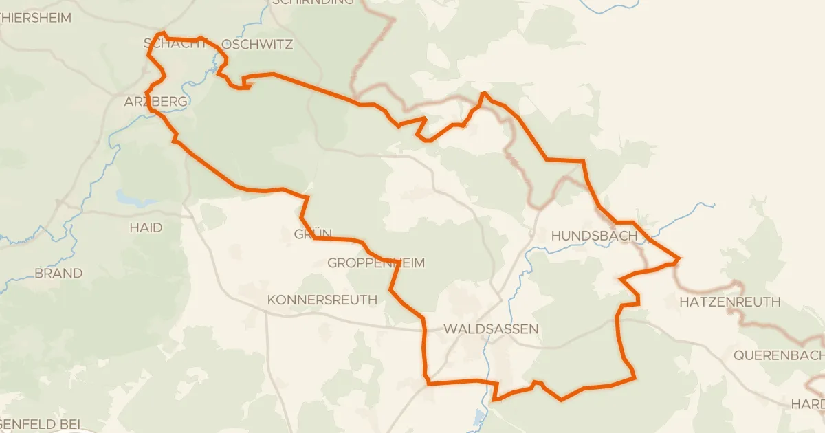
Gravel27% paved
Langs de Wondreb en de Röslau
50 km↑ 791 m3 km away
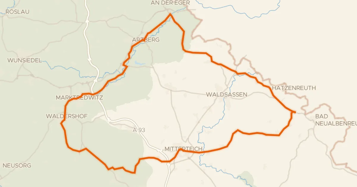
Road bike99% paved
Rondje Wondreb en Röslau
75 km↑ 978 m5 km away
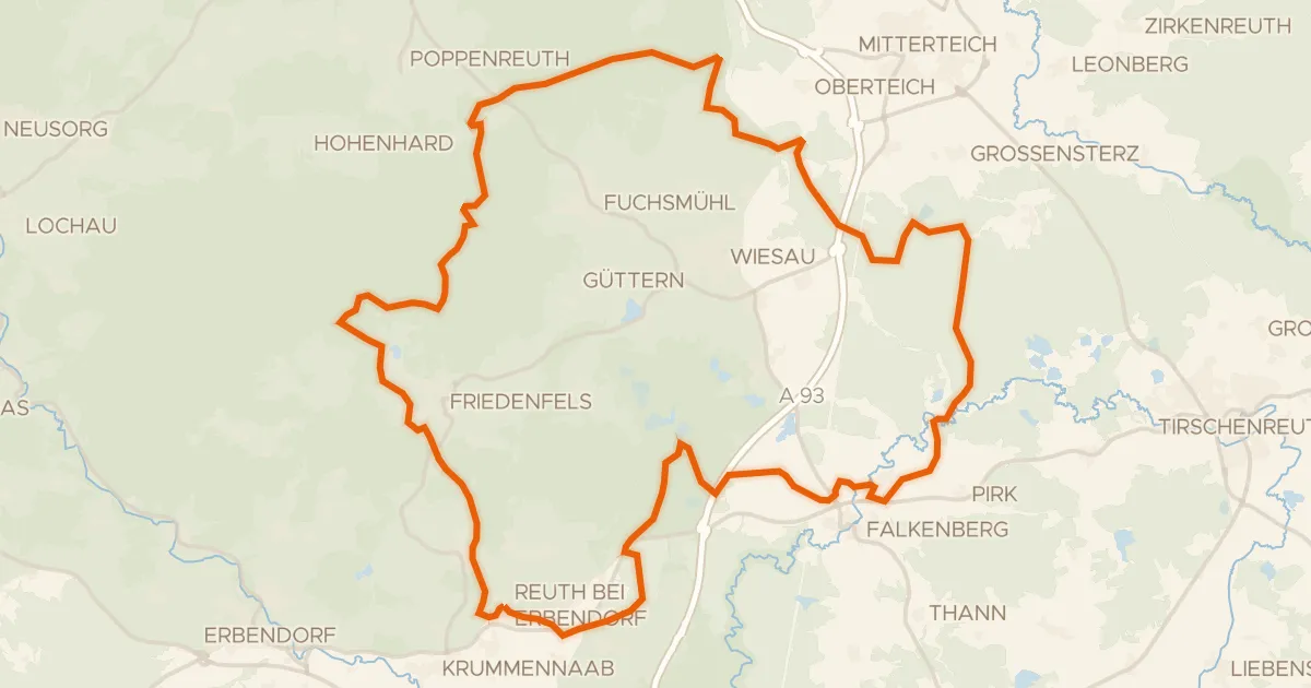
Gravel7% paved
Rondje Schloss Reuth en Waldnaab
60 km↑ 797 m16 km away
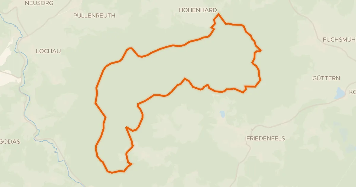
Gravel4% paved
Sagenhafte Steinroute
28 km↑ 533 m21 km away
Road bike100% paved
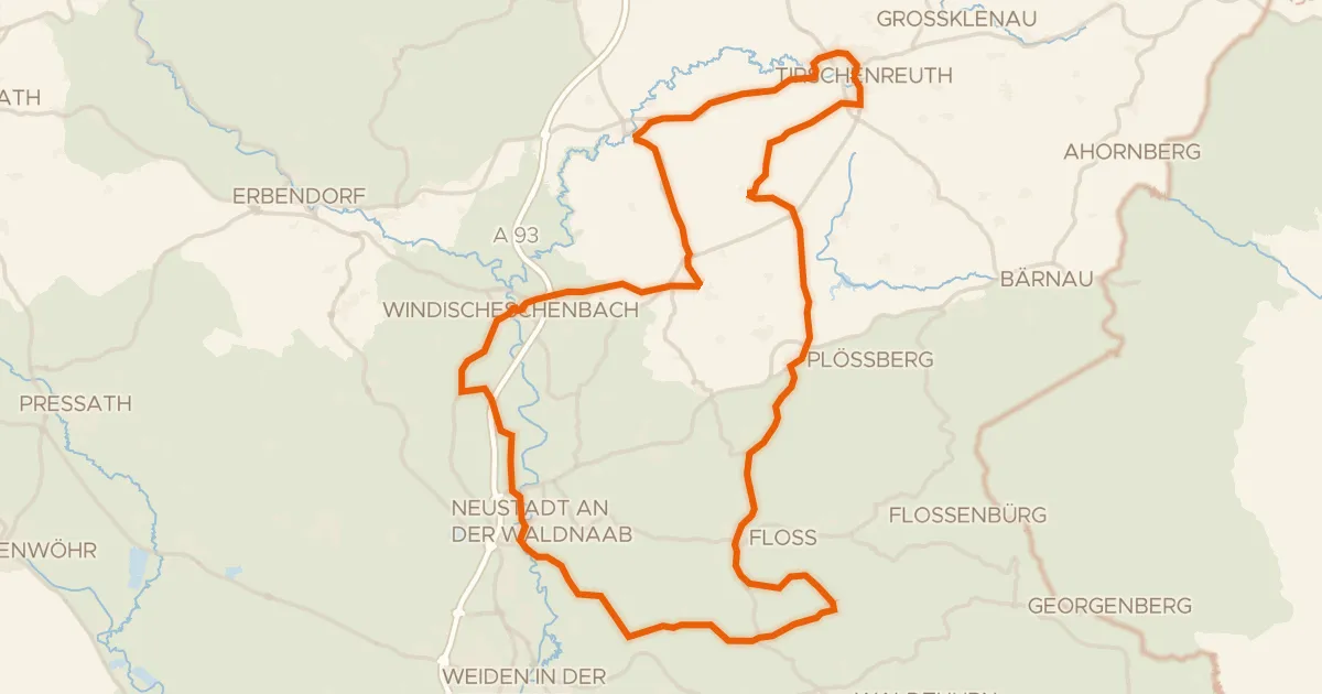
Rondje Burg Falkenberg en Waldnaab
81 km↑ 989 m24 km away
Gravel69% paved
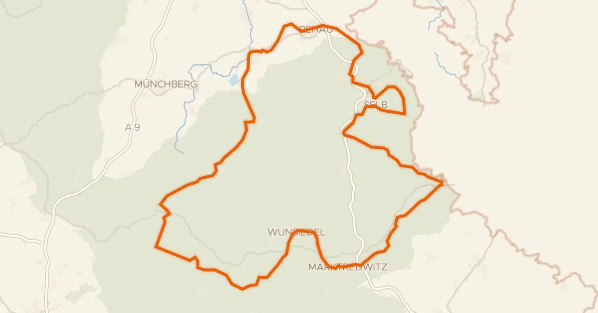
Siebenstern-Radweg
153 km↑ 2,203 m25 km away