Back to the librarykm 9 · Sep 2020 · © r66 / Mapillary, CC BY-SA km 0–1km 1–3km 5–9km 10–11km 12–13km 13–14km 15–17km 30–31km 38–41
GravelRouteCasterRound trip
Langs de Wondreb en de Röslau
Distance
50 km
Ascent
791 m
Highest point
627 m
27% paved
Start from your location
Ride there from home: we find the shortest way to the loop and start the loop from there.
The ride
Roll out of Arzberg and let the ride unfold: past the Röslau river, then into the Naturpark Fichtelgebirge nature reserve, before the Odrava and Wondreb rivers guide you home. Of the 50.4 km, most runs unpaved, with 791 m of climbing along the way. Start and finish sit in the same village, so the loop closes where it began.
Along the way
Climbs
Climb 1Hill
0.6 km at 5.8% · max 11.2%
Climb 2Hill
1.4 km at 3.8% · max 8.1%
Climb 3Cat. 4
4.6 km at 3.2% · max 13.1%
Climb 4Hill
1.5 km at 3.6% · max 10.2%
Climb 5Hill
0.8 km at 3.2% · max 4.6%
Climb 6Hill
0.6 km at 4.6% · max 7.6%
Climb 7Hill
1.2 km at 5.2% · max 10.5%
Climb 8Hill
1.1 km at 4.8% · max 8.8%
Climb 9Cat. 4
2.6 km at 5% · max 10.2%
Routes nearby
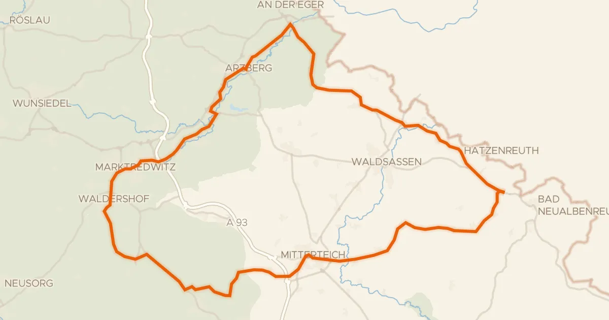
Road bike99% paved
Rondje Wondreb en Röslau
75 km↑ 978 m7 km away
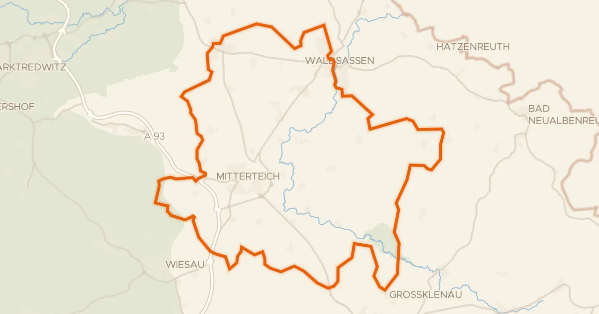
Gravel11% paved
Rondje Wondreb-Aue en Naturpark Steinwald
69 km↑ 819 m13 km away
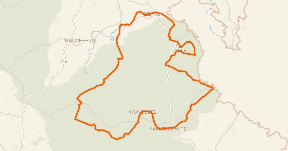
Gravel69% paved
Siebenstern-Radweg
153 km↑ 2,203 m14 km away
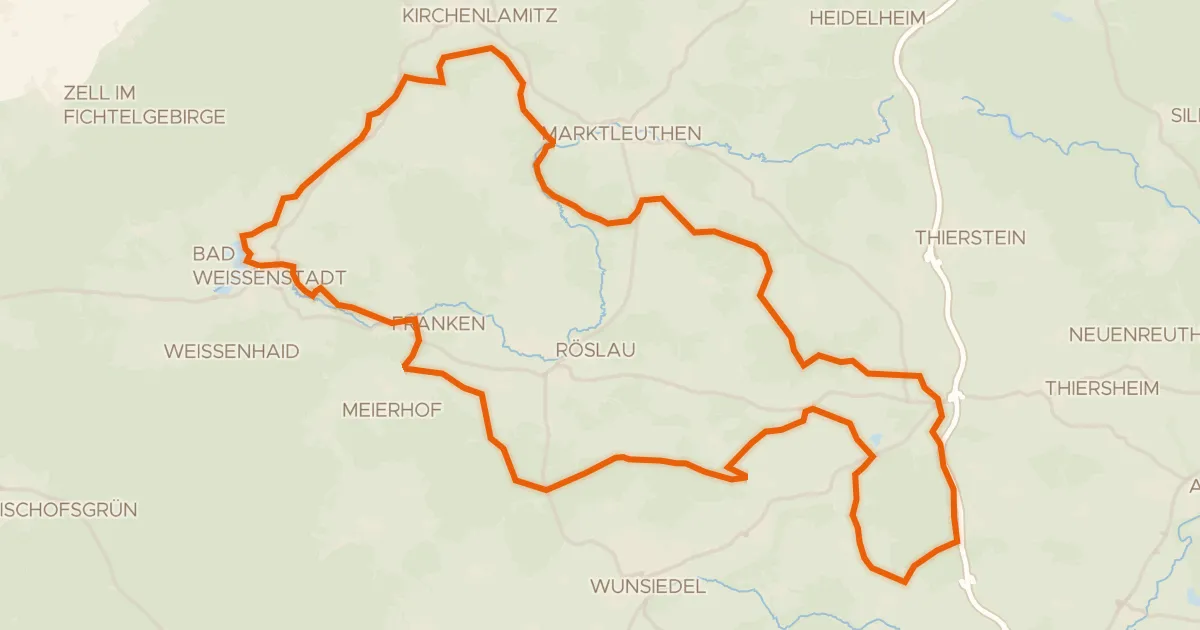
Gravel26% paved
Rondje Weißenstädter See en Zeitelmoos
60 km↑ 881 m14 km away
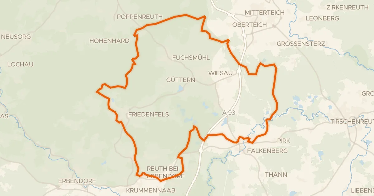
Gravel7% paved
Rondje Schloss Reuth en Waldnaab
60 km↑ 797 m18 km away
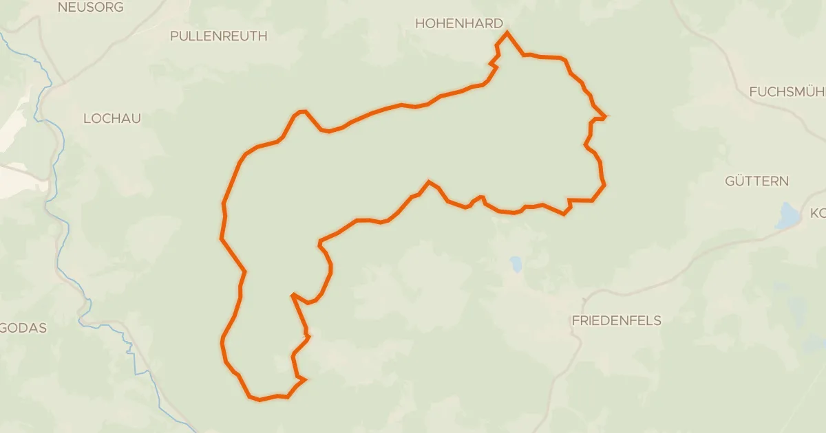
Gravel4% paved
Sagenhafte Steinroute
28 km↑ 533 m20 km away