Back to the librarykm 6–8km 11–12km 19–20km 22–24km 38–39km 42–45km 46–47km 56–58
GravelRouteCasterRound trip
Rondje Weidatalsperre en Weiße Elster
Distance
64 km
Ascent
1,088 m
Highest point
420 m
41% paved
Start from your location
Ride there from home: we find the shortest way to the loop and start the loop from there.
The ride
Roll out of Meilitz and let the ride unfold: first past the Kieferberg viewpoint, then along the Weiße Elster river to the Weidatalsperre lake. From there the route follows the Weida and Auma rivers before looping back to Meilitz. Of the 63.9 km, more than half runs unpaved, and 1088 m of climbing keeps the legs honest.
Climbs
Climb 1Hill
1.7 km at 3.5% · max 20.1%
Climb 2Cat. 4
1 km at 8.9% · max 21%
Climb 3Cat. 4
1.4 km at 5.8% · max 22.3%
Climb 4Cat. 4
2.3 km at 4.7% · max 17.6%
Climb 5Hill
1.5 km at 3.5% · max 7.4%
Climb 6Cat. 4
2.6 km at 3.3% · max 15.1%
Climb 7Hill
1.4 km at 3.1% · max 6.5%
Climb 8Hill
1.8 km at 3.7% · max 11.1%
Routes nearby
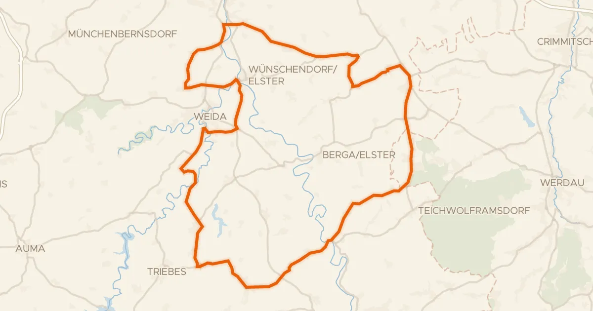
Road bike100% paved
Rondje Schloss Mildenfurth en Weiße Elster
69 km↑ 929 m8 km away
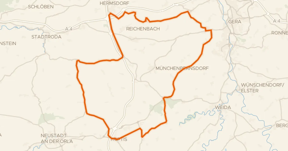
Road bike96% paved
Rondje Burg Pöllnitz en Burg Triptis
71 km↑ 648 m12 km away
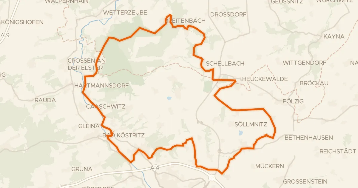
Gravel35% paved
Rondje Burgruine Kempe en Naturschutzgebiet Rödel
59 km↑ 690 m16 km away
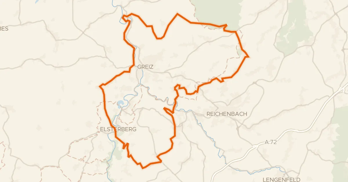
Gravel31% paved
Rondje Sommerpalais en Elstersteilhänge
61 km↑ 1,093 m23 km away
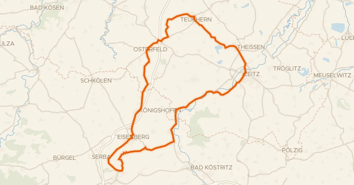
Road bike99% paved
Rondje langs Schloss Moritzburg en Weiße Elster
76 km↑ 669 m24 km away
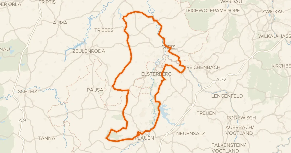
Road bike100% paved
Rondje langs de Elstersteilhänge en Pöllwitzer Wald
94 km↑ 1,445 m24 km away