Back to the librarykm 1 · Oct 2024 · © camdrive2000 / Mapillary, CC BY-SA km 28 · Mar 2021 · © canislupus / Mapillary, CC BY-SA km 52 · Aug 2026 · © canislupus / Mapillary, CC BY-SA km 58 · Aug 2026 · © canislupus / Mapillary, CC BY-SA km 1–3km 33–34km 67–68
Road bikeRouteCasterRound trip
Rondje Burg Pöllnitz en Burg Triptis
Distance
71 km
Ascent
648 m
Highest point
408 m
96% paved
Start from your location
Ride there from home: we find the shortest way to the loop and start the loop from there.
The ride
Roll out of Triptis and let the route unfold: first past Burg Triptis, then on toward the nature reserve at Frießnitzer See-Struth, before Burg Pöllnitz appears ahead. Of the 71.1 km, most is paved, with a small unpaved share, and together the way gains 648 m. The castles and the reserve give the loop its rhythm, and the road brings you back to Triptis where you started.
Along the way
Climbs
Climb 1Hill
1.8 km at 3.2% · max 6.8%
Climb 2Hill
0.7 km at 7.8% · max 16.6%
Climb 3Hill
0.8 km at 4.4% · max 6.2%
Routes nearby
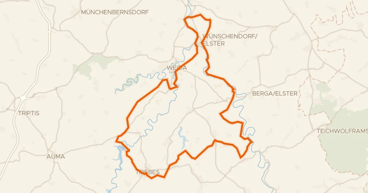
Gravel41% paved
Rondje Weidatalsperre en Weiße Elster
64 km↑ 1,088 m15 km away
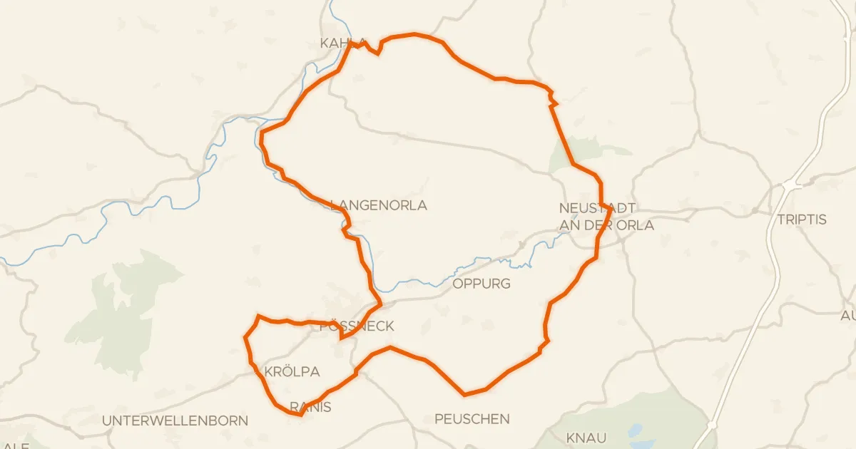
Road bike100% paved
Rondje langs de Leuchtenburg en de Saale
68 km↑ 901 m15 km away
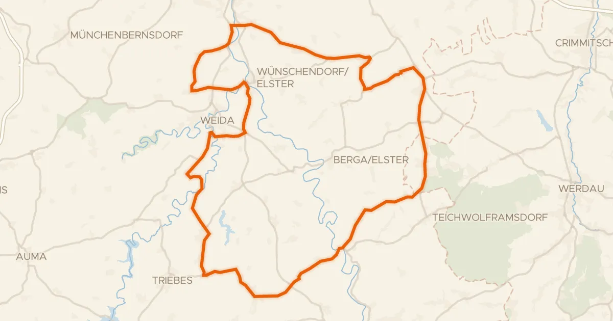
Road bike100% paved
Rondje Schloss Mildenfurth en Weiße Elster
69 km↑ 929 m20 km away
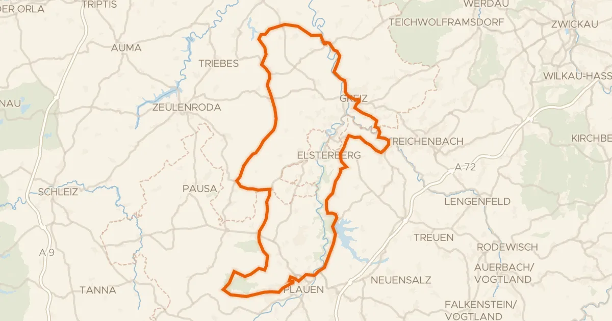
Road bike100% paved
Rondje langs de Elstersteilhänge en Pöllwitzer Wald
94 km↑ 1,445 m25 km away
Gravel9% paved
Rondje Herzogstuhl en Uhlstädter Heide
58 km↑ 1,379 m26 km away
Gravel31% paved
Rondje Sommerpalais en Elstersteilhänge
61 km↑ 1,093 m29 km away