Back to the librarykm 2 · Sep 2026 · © tasmaniadevil / Mapillary, CC BY-SA km 35 · Aug 2020 · © tbkrtz / Mapillary, CC BY-SA km 41 · Sep 2021 · © wegavision / Mapillary, CC BY-SA km 63 · Jun 2026 · © mfa / Mapillary, CC BY-SA km 0–11km 15–16km 21–22km 25–26km 26–28km 30–30km 31–32km 53–55
Road bikeRouteCasterRound trip
Rondje Wasserschloß Entenstein en Burg Baden
Distance
74 km
Ascent
1,801 m
Highest point
940 m
96% paved
Start from your location
Ride there from home: we find the shortest way to the loop and start the loop from there.
The ride
Roll out of Müllheim im Markgräflerland and let the climbing begin: 1801 m of elevation gain waits across 73.7 km. You pass Burg Baden castle, then follow the Kander and the Altrhein, with just a touch of unpaved ground under your wheels. The Galgenloch nature reserve comes next, before the Wasserschloß Entenstein castle turns you for home. Back to Müllheim it is.
Along the way
Climbs
Climb 1Cat. 1
11.2 km at 6% · max 22.4%
Climb 2Hill
1 km at 7.1% · max 14.9%
Climb 3Cat. 4
1 km at 12.1% · max 61.3%
Climb 4Cat. 4
0.7 km at 16.9% · max 43.6%
Climb 5Cat. 4
2.1 km at 6.4% · max 18.3%
Climb 6Hill
0.9 km at 3.4% · max 15%
Climb 7Hill
0.6 km at 5.2% · max 9.8%
Climb 8Cat. 4
2.6 km at 3.9% · max 11.9%
Routes nearby
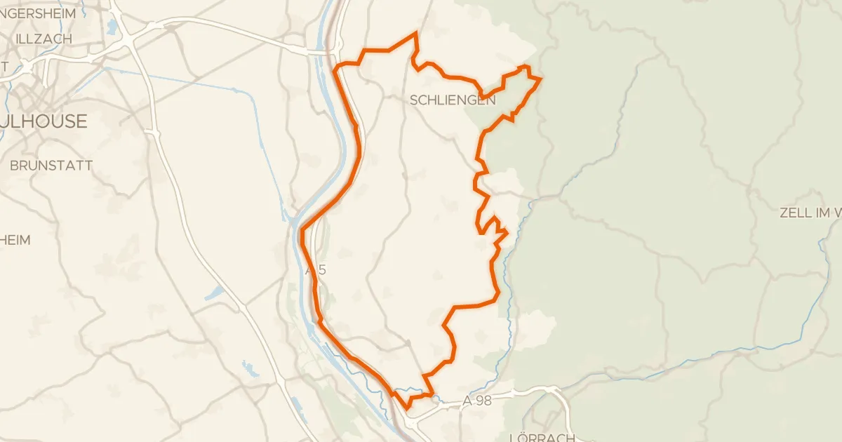
Gravel24% paved
Rondje Totengrien en Blansinger Grien
67 km↑ 963 m12 km away
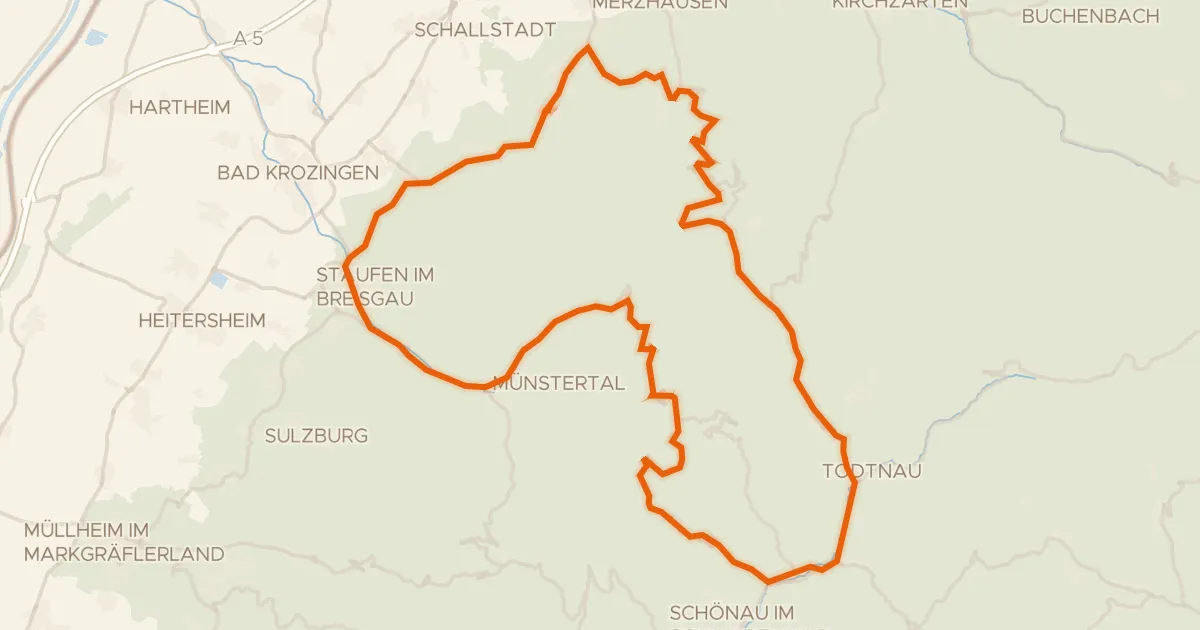
Road bike100% paved
Rondje Belchen en Gletscherkessel Präg
74 km↑ 1,989 m17 km away
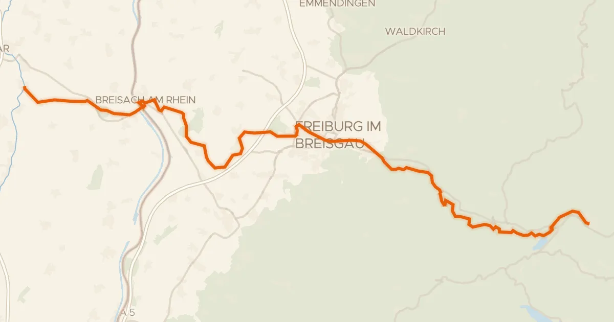
Touring89% paved
Grüne Straße - Route Verte
93 km↑ 660 m23 km away
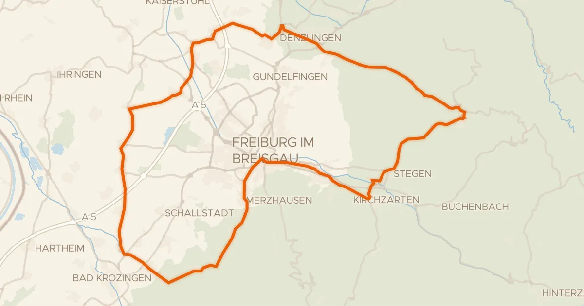
Road bike101% paved
Rondje langs de Dreisam en de Möhlin
81 km↑ 895 m28 km away
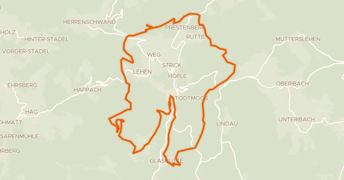
Gravel17% paved
enjoy&bike Todtmoos
33 km↑ 916 m29 km away
St. Antoni-Pass
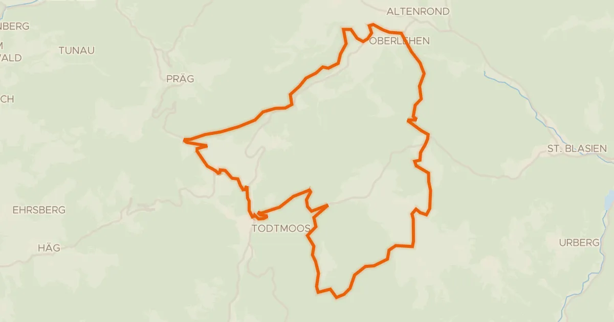
Gravel63% paved
RouteWT 11 - Die Sportliche
35 km↑ 900 m31 km away
Rotes Kreuz