Back to the librarykm 3–8km 10–11km 12–13km 14–18km 19–20km 27–28km 30–31
GravelRound trip
enjoy&bike Todtmoos
Distance
33 km
Ascent
916 m
Highest point
1,244 m
17% paved
Start from your location
Ride there from home: we find the shortest way to the loop and start the loop from there.
The ride
This 33.0 km ride climbs 916 m, with 83% unpaved and 17% paved. The St. Antoni-Pass sits along the way. Enjoy the mix of surfaces as you ride. It's a route that keeps things varied from start to finish.
Passes
St. Antoni-Pass
Climbs
Climb 1Cat. 2
4.7 km at 7.5% · max 19.7%
Climb 2Hill
0.8 km at 7.1% · max 15%
Climb 3Hill
1 km at 4.7% · max 7.8%
Climb 4Cat. 3
3.4 km at 5.2% · max 19.9%
Climb 5Cat. 4
1 km at 9.6% · max 20%
Climb 6Hill
0.6 km at 5.3% · max 16.9%
Climb 7Hill
1 km at 5.8% · max 11.5%
Routes nearby
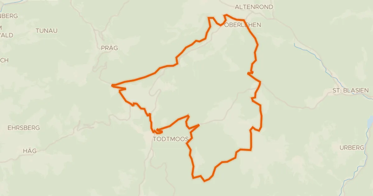
Gravel63% paved
RouteWT 11 - Die Sportliche
35 km↑ 900 m3 km away
Rotes Kreuz
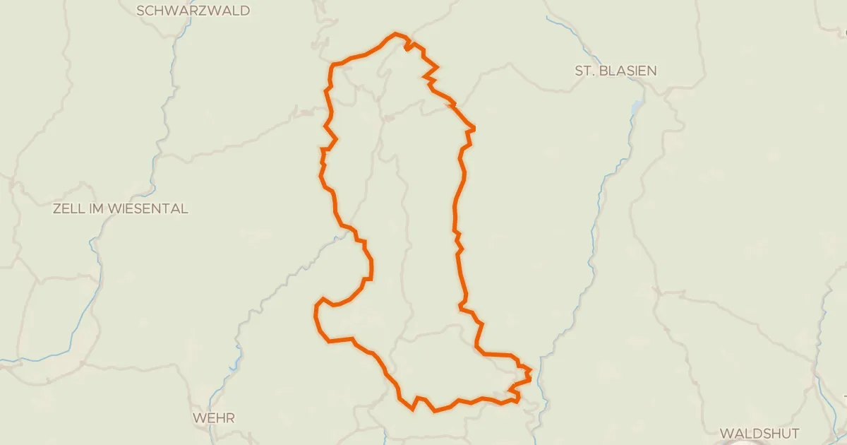
Gravel6% paved
Rondje Hochkopfturm en Gletscherkessel Präg
60 km↑ 1,750 m4 km away
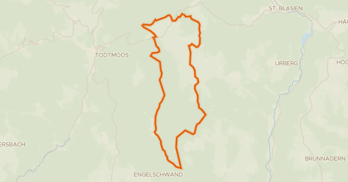
Gravel27% paved
enjoy&bike Ibach
24 km↑ 615 m4 km away
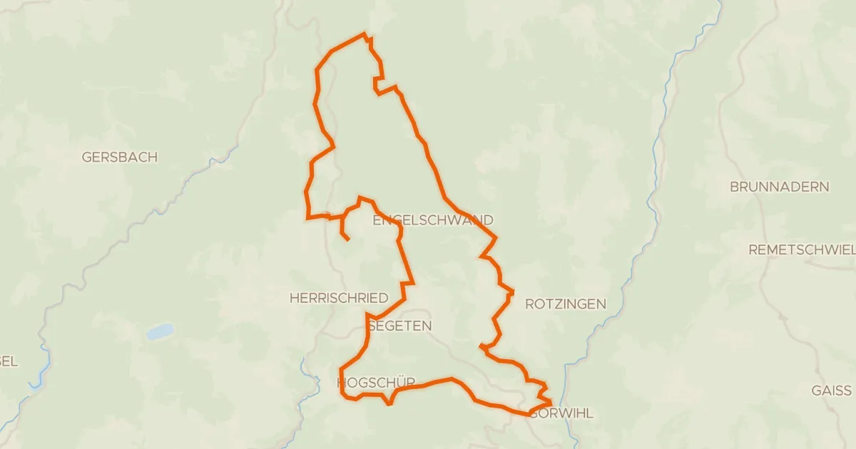
Gravel56% paved
enjoy&bike Görwihl
36 km↑ 754 m7 km away
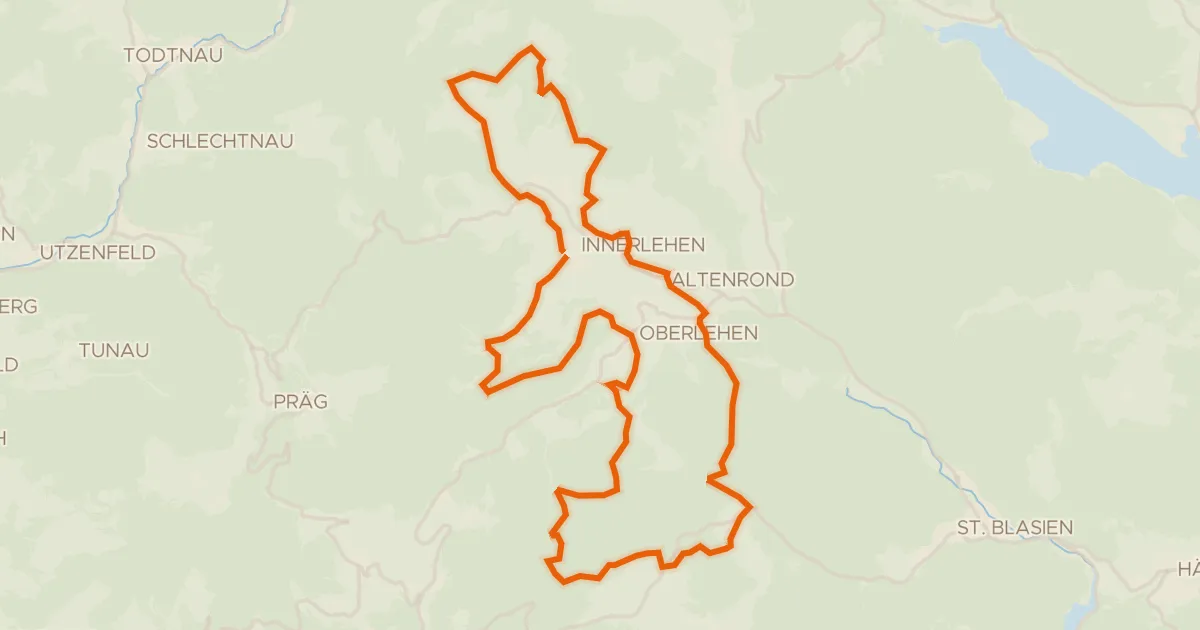
Gravel22% paved
enjoy&bike Bernau
36 km↑ 995 m7 km away
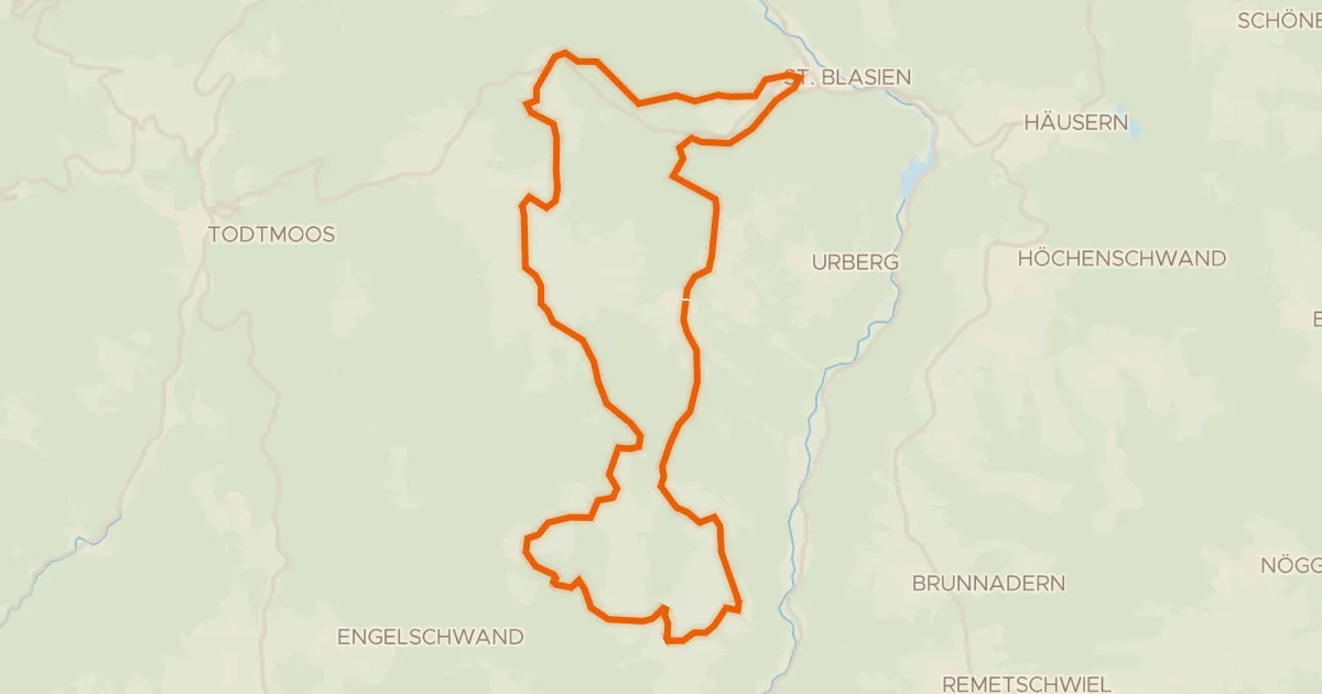
Touring76% paved
RouteWT 9b - Panorama-Lang-Route
33 km↑ 759 m7 km away