Back to the librarykm 1–8km 8–10km 11–14km 14–15km 16–20km 23–25km 25–26km 27–28km 30–31km 32–33km 38–38km 39–41km 43–46km 50–52km 58–60
GravelRouteCasterRound trip
Rondje Hochkopfturm en Gletscherkessel Präg
Distance
60 km
Ascent
1,750 m
Highest point
1,211 m
6% paved
Start from your location
Ride there from home: we find the shortest way to the loop and start the loop from there.
The ride
Roll out of Görwihl and let the ride unfold along the Alb, then on through the Gletscherkessel Präg nature reserve. Climb to the Hochkopfturm viewpoint before dropping to the Wehra and the Hauensteiner Murg. With 60,1 km and 1750 m of climbing, mostly unpaved, it all loops back to where you started.
Climbs
Climb 1Cat. 3
6.7 km at 4.7% · max 20.7%
Climb 2Cat. 4
1.5 km at 5.4% · max 12.1%
Climb 3Cat. 4
2.5 km at 5% · max 17.5%
Climb 4Hill
0.5 km at 9.9% · max 12.2%
Climb 5Cat. 4
3.8 km at 3.8% · max 13.9%
Climb 6Cat. 4
1.9 km at 6.1% · max 18%
Climb 7Hill
1.2 km at 3.4% · max 8.3%
Climb 8Cat. 4
0.7 km at 12.5% · max 20.3%
Climb 9Hill
1.1 km at 5.3% · max 11.6%
Climb 10Hill
1 km at 3.4% · max 6.2%
Climb 11Cat. 3
0.6 km at 32% · max 55.8%
Climb 12Cat. 4
2.6 km at 4.4% · max 11.1%
Climb 13Cat. 4
2.8 km at 4.5% · max 22.1%
Climb 14Hill
1.5 km at 5.2% · max 21%
Climb 15Hill
1.8 km at 4% · max 10.4%
Routes nearby
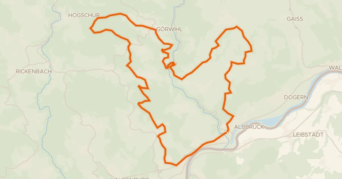
Touring72% paved
enjoy&bike Albbruck
42 km↑ 1,009 m3 km away
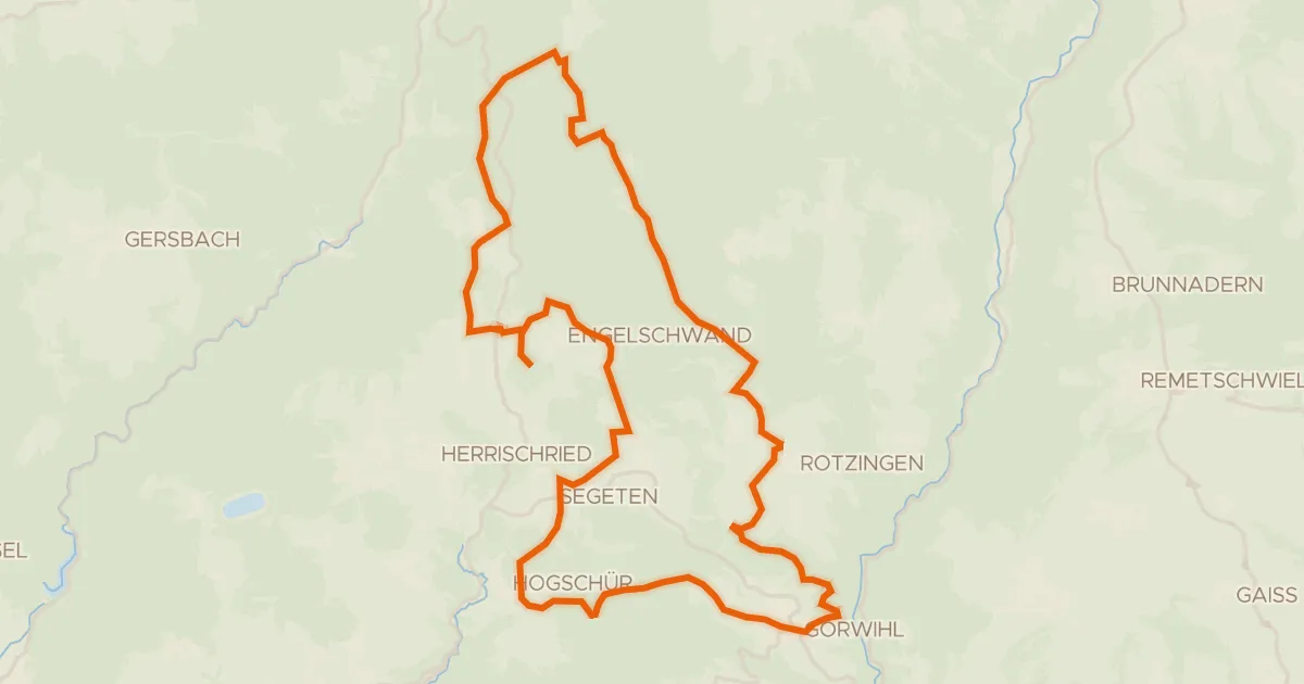
Gravel56% paved
enjoy&bike Görwihl
36 km↑ 754 m5 km away
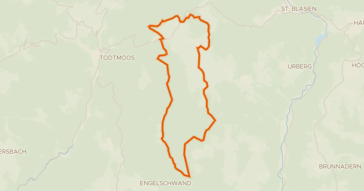
Gravel27% paved
enjoy&bike Ibach
24 km↑ 615 m9 km away
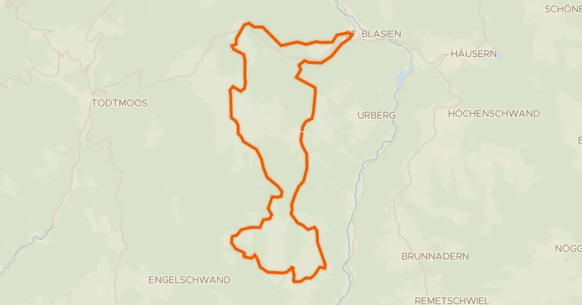
Touring76% paved
RouteWT 9b - Panorama-Lang-Route
33 km↑ 759 m9 km away
Gravel31% paved
Rondje Schloss Schönau en Jurapark Aargau
60 km↑ 1,258 m10 km away
Gravel17% paved
enjoy&bike Todtmoos
33 km↑ 916 m13 km away
St. Antoni-Pass