Back to the librarykm 1 · May 2025 · © changchun1 / Mapillary, CC BY-SA km 41 · Feb 2019 · © changchun1 / Mapillary, CC BY-SA km 27–29km 29–31km 40–41km 51–52
GravelRouteCasterRound trip
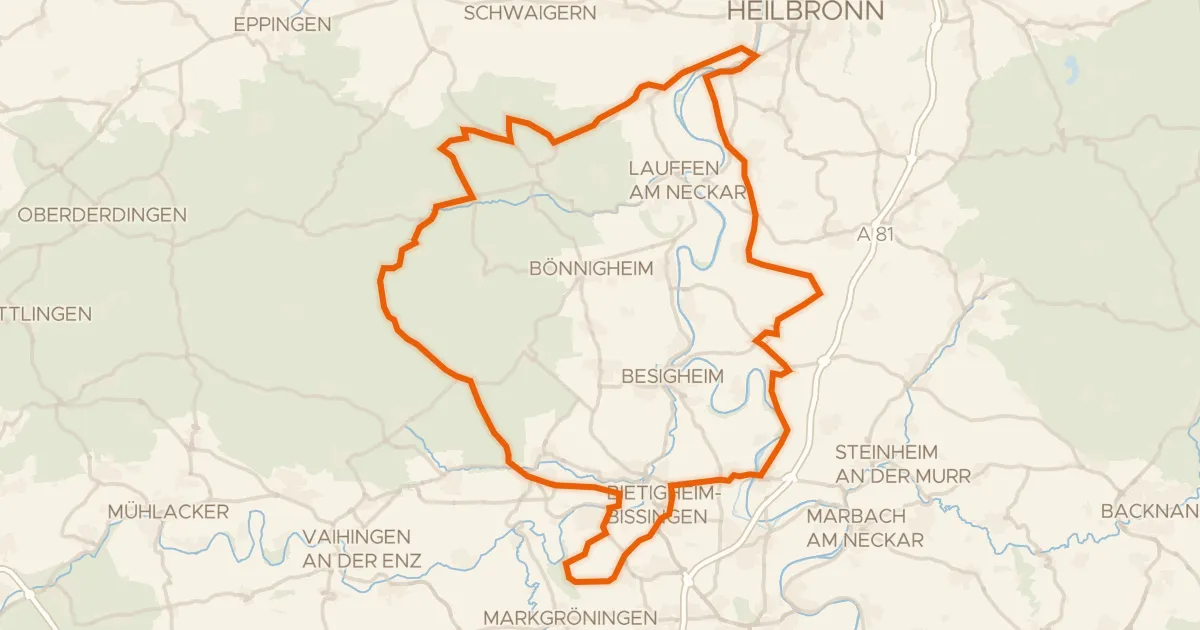
Rondje Wasserschloss en Naturpark Stromberg-Heuchelberg
Distance
60 km
Ascent
618 m
Highest point
338 m
52% paved
Start from your location
Ride there from home: we find the shortest way to the loop and start the loop from there.
The ride
Roll out of Bad Rappenau and into the Bonfelder Wald, then on through the Hipfelhofer Wald. The route crosses the Naturpark Stromberg-Heuchelberg before dipping into the Buchtalwald, and finishes past the Wasserschloss. It's 59.6 km with 618 m of climbing, roughly half paved and half unpaved, and it brings you back to where you started.
Along the way
Climbs
Climb 1Hill
1.8 km at 4% · max 12.4%
Climb 2Hill
2.2 km at 3.2% · max 21.9%
Climb 3Hill
1.6 km at 3.3% · max 8.9%
Climb 4Hill
0.7 km at 3.7% · max 6.8%
Routes nearby
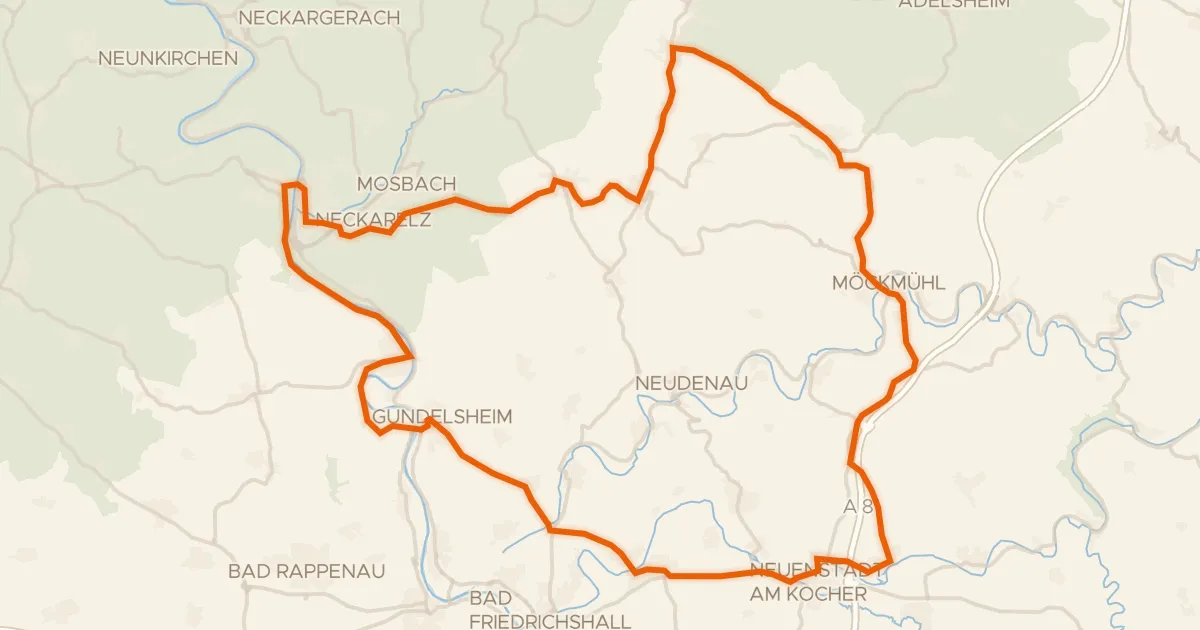
Road bike100% paved
Rondje Burg Obrigheim en Neckarhochufer
77 km↑ 962 m13 km away
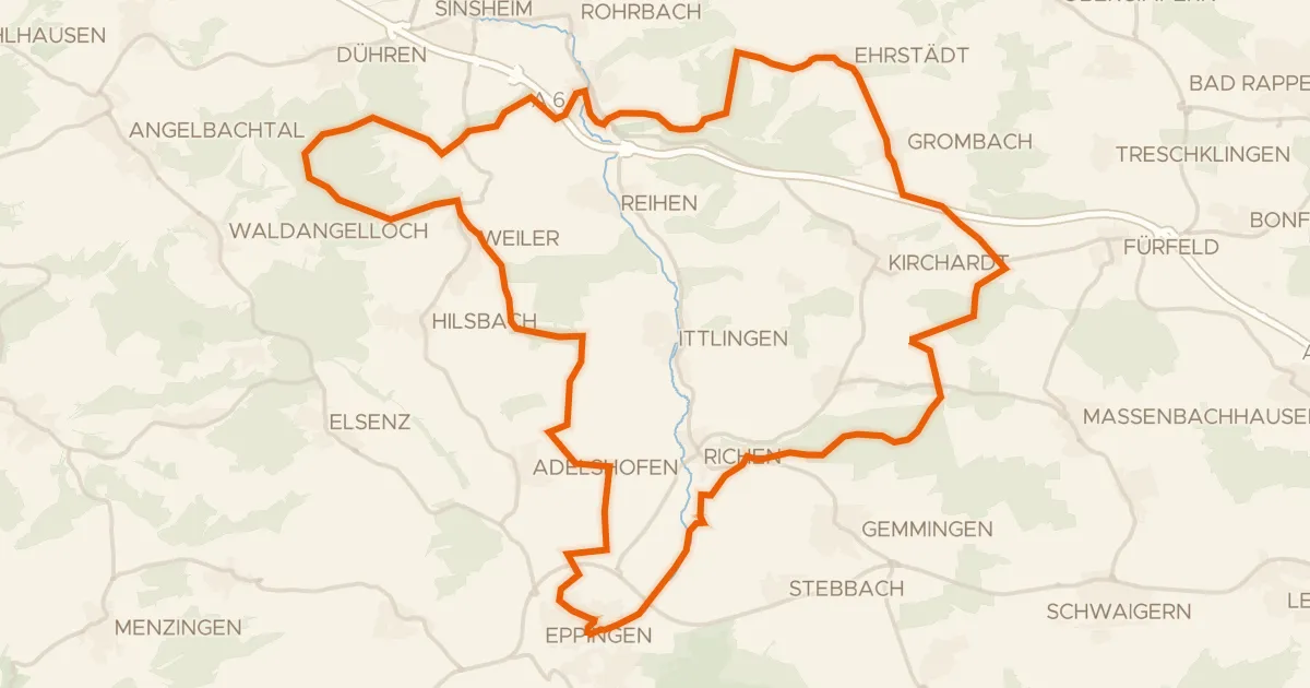
Gravel50% paved
Rondje Schlösschen en Burg Steinsberg
60 km↑ 646 m14 km away
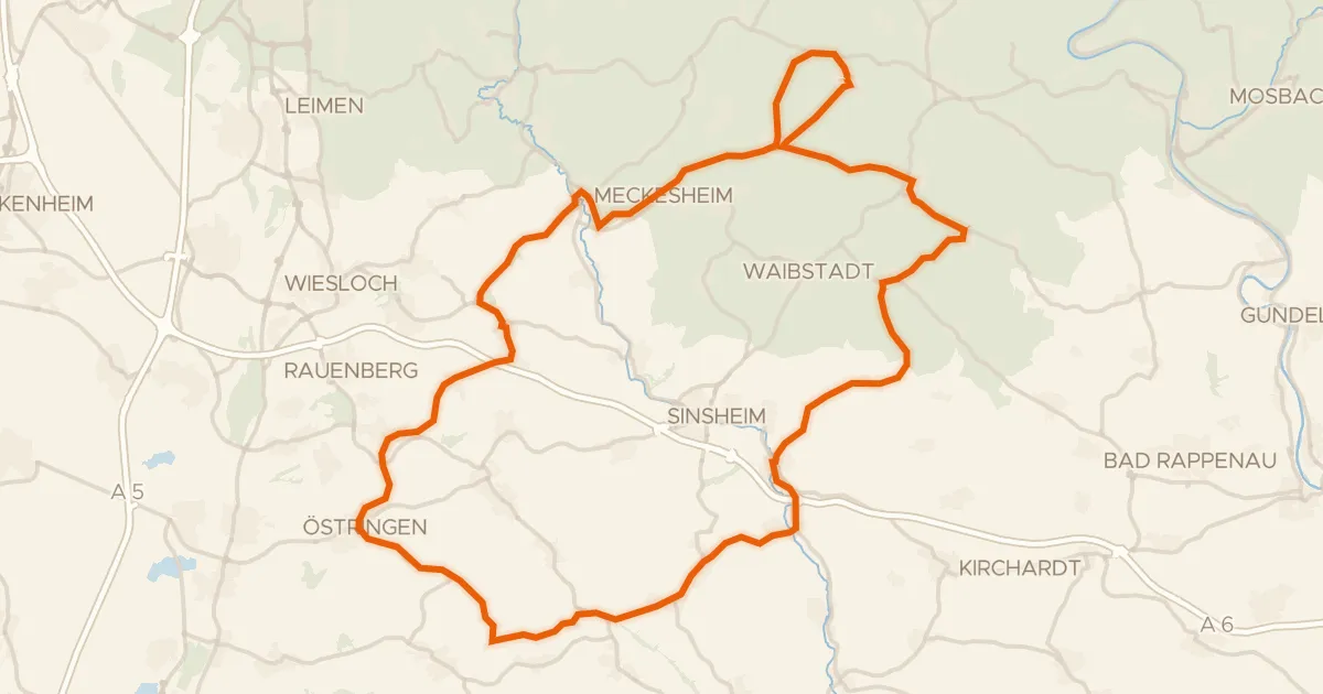
Road bike100% paved
Rondje Horrenburg en Altes Schloss
82 km↑ 995 m18 km away
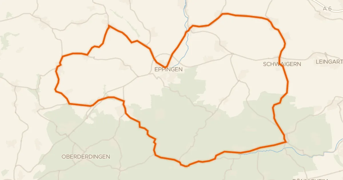
Road bike99% paved
Rondje langs Burg Neipperg en Wasserschloss Menzingen
73 km↑ 744 m19 km away
Road bike97% paved
Rondje Schloss Stocksberg en Altneckar
92 km↑ 1,007 m24 km away
Touring88% paved
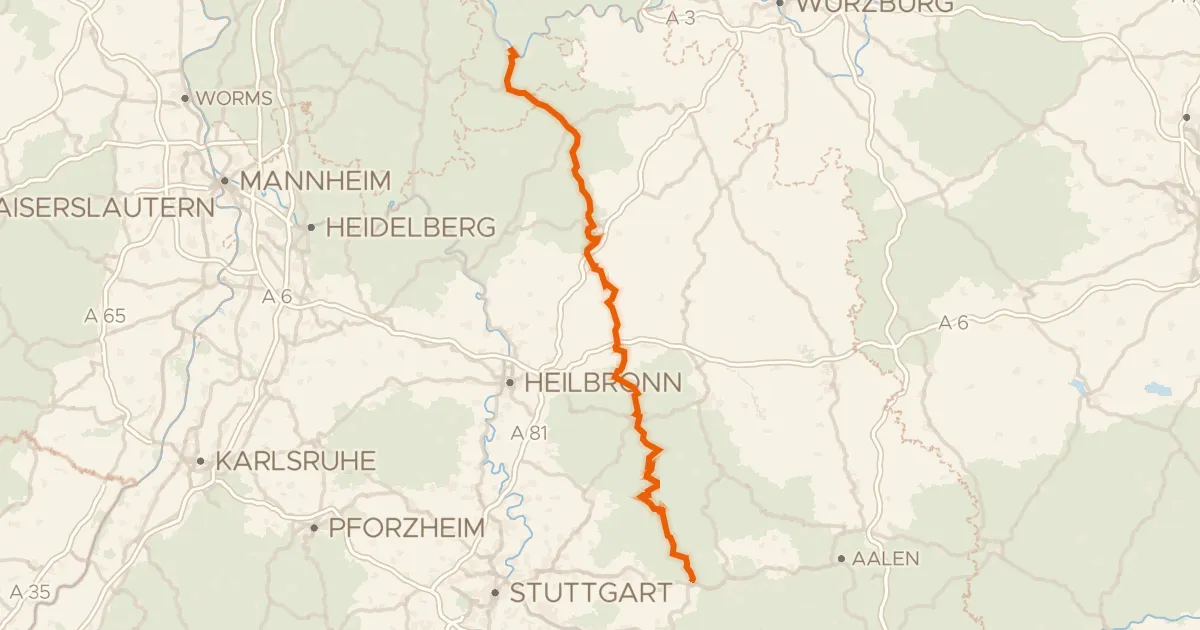
Deutscher Limes-Radweg 4. Abschnitt Miltenberg - Lorch
165 km↑ 2,688 m26 km away