Back to the librarykm 14 · Oct 2026 · © PixelusPro8 / Mapillary, CC BY-SA km 24 · Sep 2026 · © waldemar / Mapillary, CC BY-SA km 56 · Jun 2026 · © teddy73 / Mapillary, CC BY-SA km 75 · Aug 2026 · © PixelusPro8 / Mapillary, CC BY-SA km 9–15km 41–45km 54–55km 66–67km 68–69
Road bikeRouteCasterRound trip
Rondje Burg Obrigheim en Neckarhochufer
Distance
77 km
Ascent
962 m
Highest point
350 m
100% paved
Start from your location
Ride there from home: we find the shortest way to the loop and start the loop from there.
The ride
Roll out of Haßmersheim and the Neckartal-Odenwald nature reserve opens the ride. The route climbs past the Hochhausener Weinberge, then strings together four castles: Landsehr, Obrigheim, the Schloss, and Heuchlingen. The Böttinger Baggerseen nature reserve rounds things off before you pedal back to Haßmersheim. It's 76.7 km, all of it paved.
Along the way
Climbs
Climb 1Cat. 3
6.8 km at 3% · max 13.9%
Climb 2Cat. 4
4.2 km at 3.3% · max 17.3%
Climb 3Hill
1.2 km at 3.2% · max 8.8%
Climb 4Hill
1.6 km at 4.6% · max 7.3%
Climb 5Hill
0.6 km at 4.8% · max 6.6%
Routes nearby
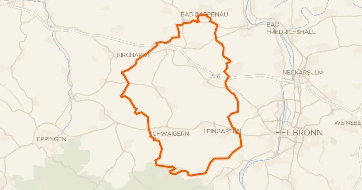
Gravel52% paved
Rondje Wasserschloss en Naturpark Stromberg-Heuchelberg
60 km↑ 618 m15 km away
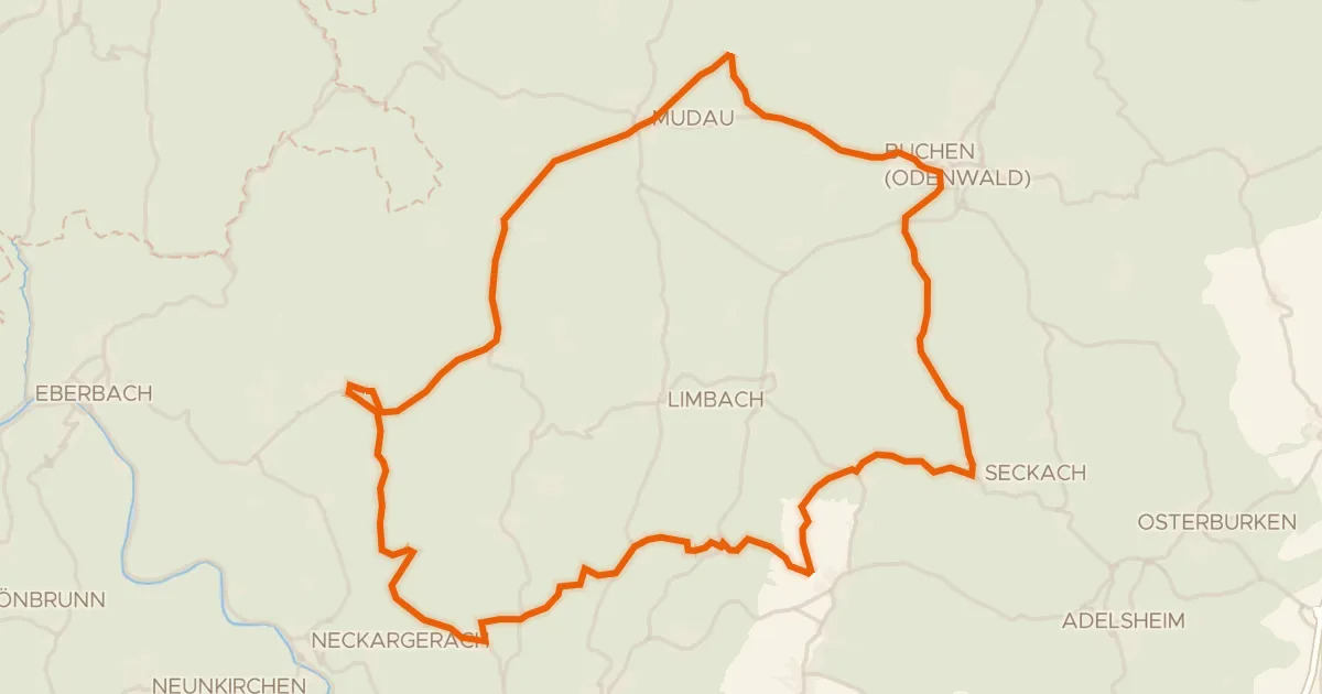
Road bike99% paved
Rondje Schloss Bödigheim en Seckachtal
68 km↑ 963 m20 km away
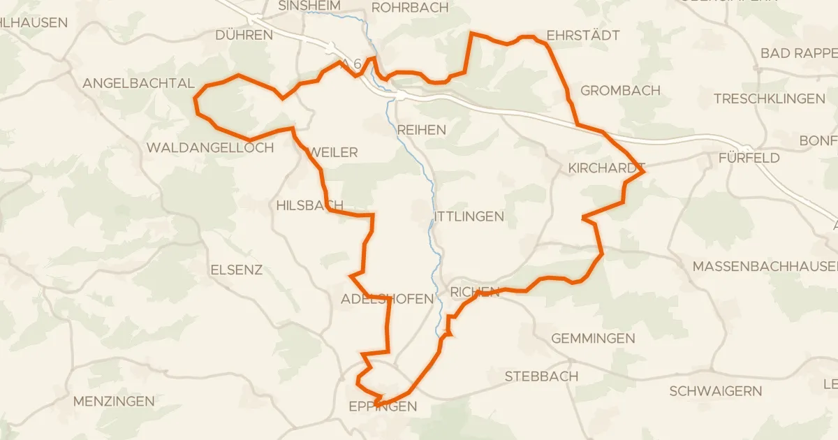
Gravel50% paved
Rondje Schlösschen en Burg Steinsberg
60 km↑ 646 m20 km away
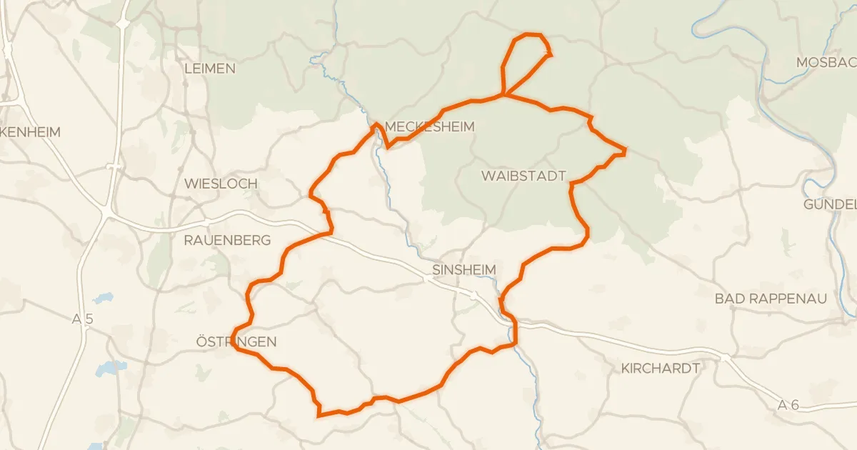
Road bike100% paved
Rondje Horrenburg en Altes Schloss
82 km↑ 995 m21 km away
Touring88% paved
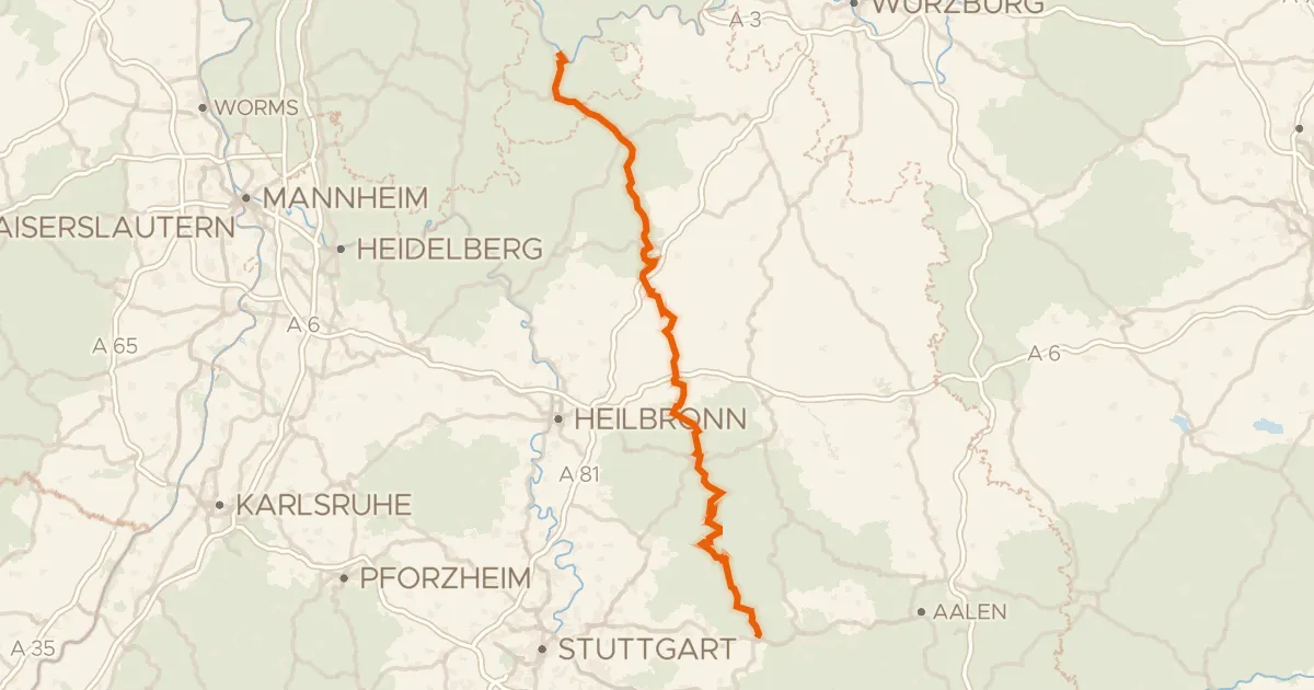
Deutscher Limes-Radweg 4. Abschnitt Miltenberg - Lorch
165 km↑ 2,688 m23 km away
Road bike99% paved
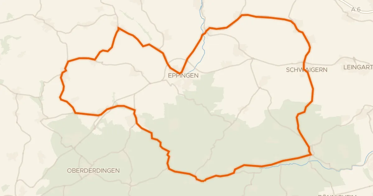
Rondje langs Burg Neipperg en Wasserschloss Menzingen
73 km↑ 744 m26 km away