Back to the librarykm 16 · Apr 2018 · © mapnrw / Mapillary, CC BY-SA km 31 · Dec 2025 · © baldur80 / Mapillary, CC BY-SA km 40 · Dec 2025 · © baldur80 / Mapillary, CC BY-SA km 64 · Jul 2024 · © baldur80 / Mapillary, CC BY-SA km 3–5km 15–17km 22–22km 23–26km 27–29km 38–40km 43–45km 46–47km 48–50km 52–54km 68–71
Road bikeRouteCasterRound trip
Rondje Usemert en Wennetal
Distance
71 km
Ascent
1,338 m
Highest point
641 m
100% paved
Start from your location
Ride there from home: we find the shortest way to the loop and start the loop from there.
The ride
Roll out from Parkeerplaats Usemert and the riding begins. You pass through Usemert nature reserve, then Büemker Bach und Nebensiepen nature reserve, before Mildenberg nature reserve and Wennetal nature reserve. It's 70.9 km, all paved, with 1338 m of climbing, and you finish back at Parkeerplaats Usemert.
Along the way
Climbs
Climb 1Hill
2.1 km at 3% · max 10.8%
Climb 2Hill
1.8 km at 3.4% · max 10.4%
Climb 3Hill
0.6 km at 4.9% · max 6.8%
Climb 4Cat. 4
3.5 km at 4.3% · max 17%
Climb 5Hill
2.1 km at 3.1% · max 12%
Climb 6Cat. 4
2.3 km at 3.5% · max 18.8%
Climb 7Hill
1.7 km at 3.2% · max 7%
Climb 8Hill
1.4 km at 4.9% · max 18.9%
Climb 9Cat. 4
2.4 km at 3.5% · max 13.1%
Climb 10Cat. 4
1.4 km at 7.1% · max 13.3%
Climb 11Cat. 3
2.9 km at 7.1% · max 17.2%
Routes nearby
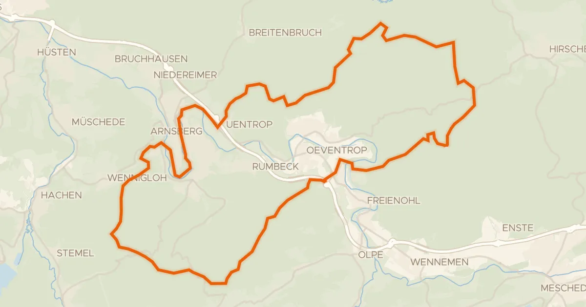
Gravel20% paved
Rondje Arnsberger Schloßruine en Arnsberger Wald
55 km↑ 1,244 m12 km away
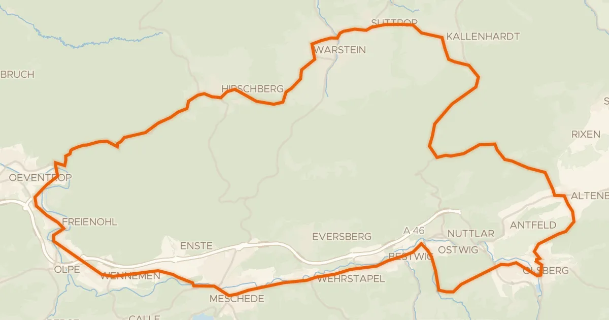
Road bike99% paved
Rondje Wasserschloss Laer en Schloss Gevelinghausen
75 km↑ 1,167 m14 km away
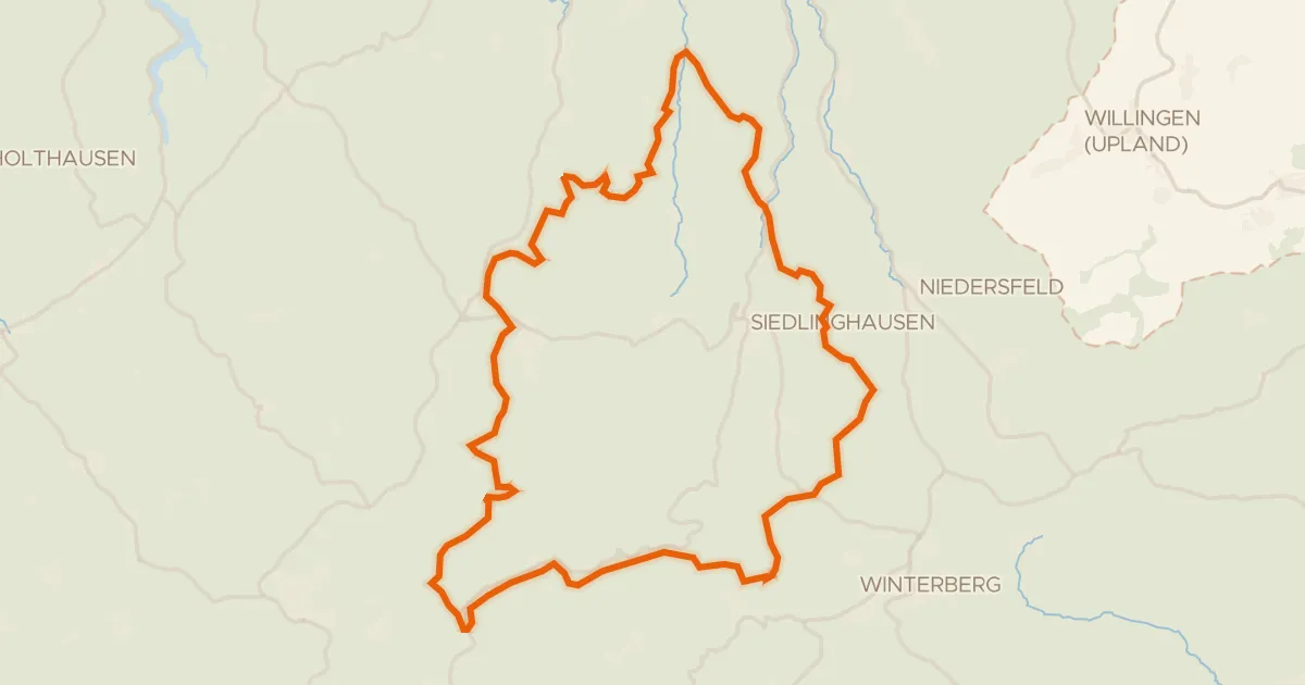
Gravel16% paved
Rondje Schloss Wildenberg en Hausstätte
59 km↑ 1,849 m17 km away
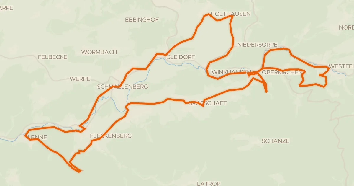
Touring84% paved
Golddorf-Radroute
48 km↑ 950 m18 km away
Gravel10% paved
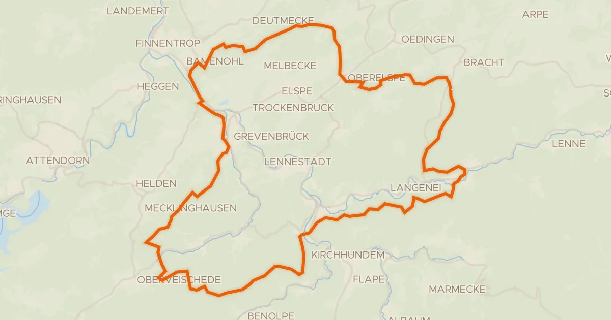
Rondje Haus Bamenohl en Ruine Peperburg
65 km↑ 1,910 m22 km away
Road bike99% paved
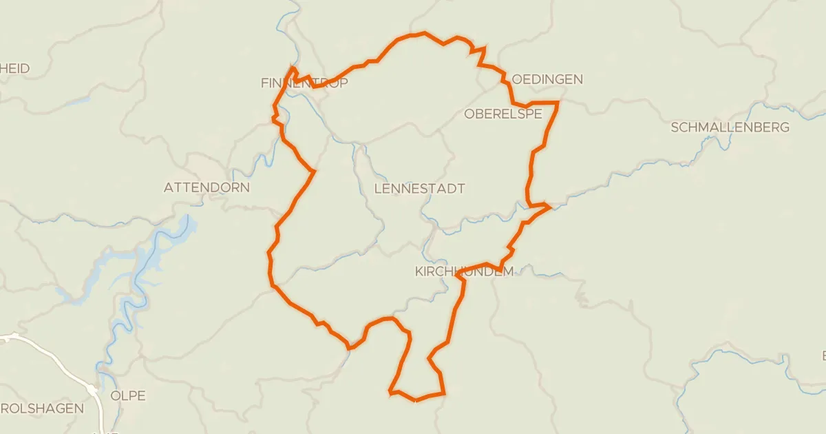
Rondje Ochsenburg en Burgruine Oedingen
75 km↑ 1,390 m23 km away