Back to the librarykm 17 · Mar 2023 · © heetENkoel / Mapillary, CC BY-SA km 27 · Jun 2025 · © uwekoch / Mapillary, CC BY-SA km 39 · Jul 2024 · © baldur80 / Mapillary, CC BY-SA km 70 · Jul 2026 · © uwekoch / Mapillary, CC BY-SA km 10–13km 16–17km 30–33km 45–47km 48–53km 59–61
Road bikeRouteCasterRound trip
Rondje Ochsenburg en Burgruine Oedingen
Distance
75 km
Ascent
1,390 m
Highest point
549 m
99% paved
Start from your location
Ride there from home: we find the shortest way to the loop and start the loop from there.
The ride
Roll out from Parkeerplaats Dollenbruch and straight into the Dollenbruch nature reserve, then on past the Buchen- und Bruchwälder and Auf dem Hahne reserves to Bamenohl. Climb through 1390 m of elevation gain, with Ochsenburg castle, the Knochenmühle watermill and Burgruine Oedingen castle along the way. It's 75.1 km, almost all paved. Back to Dollenbruch you roll.
Along the way
Climbs
Climb 1Cat. 4
2.9 km at 5.1% · max 15.1%
Climb 2Hill
1 km at 3.1% · max 6.2%
Climb 3Cat. 4
3.1 km at 3.1% · max 14.4%
Climb 4Hill
1.2 km at 3.4% · max 7.5%
Climb 5Cat. 3
5.2 km at 3.6% · max 11.9%
Climb 6Cat. 3
2.4 km at 7.9% · max 14.5%
Routes nearby
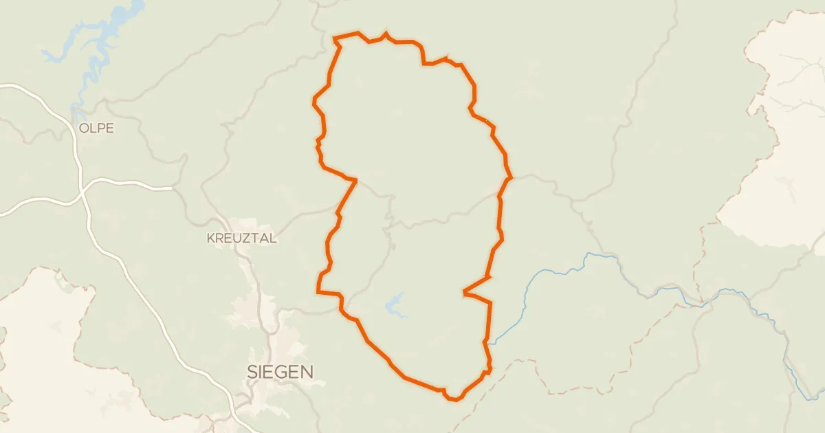
Road bike99% paved
Rondje Schloss Adolfsburg en Rhein-Weser-Turm
81 km↑ 1,163 m10 km away
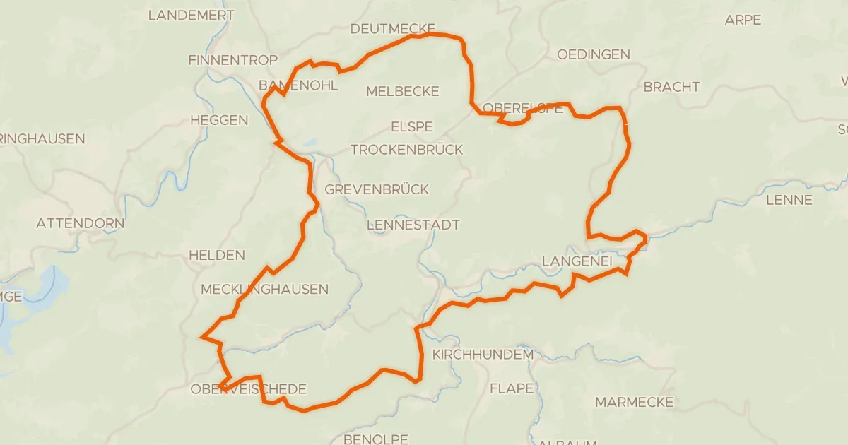
Gravel10% paved
Rondje Haus Bamenohl en Ruine Peperburg
65 km↑ 1,910 m11 km away
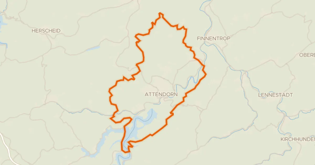
Gravel17% paved
Rondje Gilberginsel en Heinrich-Bernhard-Höhle
54 km↑ 1,521 m16 km away
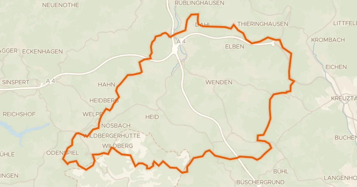
Gravel18% paved
Rondje Mittagsbrüche en Wiehbruch
58 km↑ 1,236 m17 km away
Gravel21% paved
Rondje Uebachtal en Plittersche
57 km↑ 1,232 m19 km away
Touring82% paved
Rothaar-Radroute
52 km↑ 1,171 m20 km away