Back to the librarykm 1–4km 5–10km 13–13km 18–23km 24–25km 29–30km 31–31km 34–45km 48–50km 52–56km 61–62
GravelMade by RouteCasterRound trip
Rondje Simme en Sense
Distance
63 km
Ascent
3,639 m
Highest point
1,961 m
26% paved
Start from your location
Ride there from home: we find the shortest way to the loop and start the loop from there.
The ride
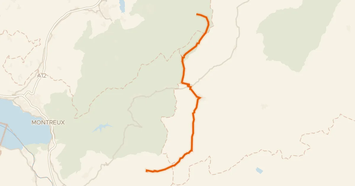
From Boltigen you roll out toward the Simme river, then climb past the ruins of Burgruine Hirzere and Festi castle. The route carries you into Naturpark Gantrisch and on to the Sense river, before the Parc naturel régional Gruyère Pays-d'Enhaut. With 62.7 km and plenty of climbing, most of it runs unpaved — a proper day out before looping back to Boltigen.
Climbs
Climb 1Cat. 3
2.5 km at 10.1% · max 35.7%
Climb 2HC
5 km at 19.3% · max 58.2%
Climb 3Hill
0.4 km at 8% · max 15.1%
Climb 4Cat. 2
5.3 km at 8.6% · max 30.2%
Climb 5Hill
0.8 km at 5.5% · max 12%
Climb 6Hill
1.8 km at 3.5% · max 12.9%
Climb 7Hill
0.5 km at 7.5% · max 16.3%
Climb 8Cat. 1
11.6 km at 6% · max 29.4%
Climb 9Cat. 2
2.2 km at 20% · max 43.5%
ReidigenpassCat. 2
3.4 km at 10.6% · max 28%
Climb 11Hill
0.6 km at 8.8% · max 15%
Routes nearby
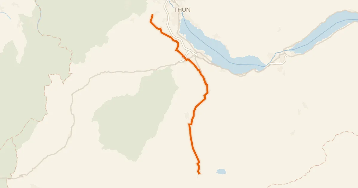
Touring86% paved
Lötschberg-Jura
38 km↑ 342 m18 km away
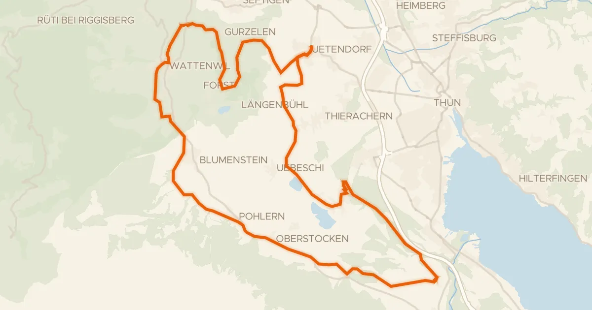
Touring87% paved
Stockentalroute
41 km↑ 564 m18 km away
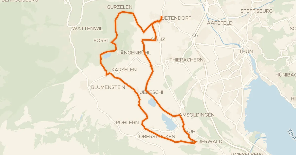
Road bike95% paved
Moränenseeroute
26 km↑ 345 m18 km away

Gravel30% paved
Rondje Château d'En-Bas en Lac de la Gruyère
59 km↑ 2,904 m19 km away
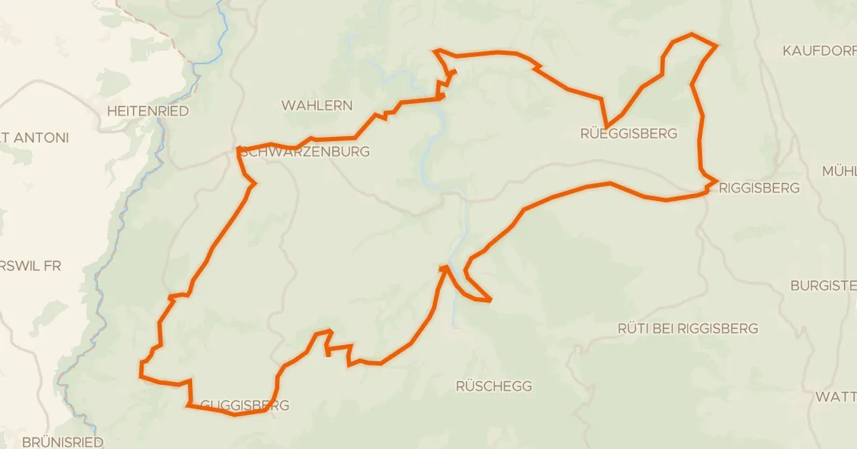
Road bike99% paved
Sagenroute Gantrisch
49 km↑ 1,175 m19 km away
Road bike100% paved
Alpes vaudoises-Pays de Fribourg
49 km↑ 1,397 m21 km away
Col du Pillon · Mittelberg