Back to the librarykm 1–2km 5–12km 16–18km 21–21km 35–36km 39–50km 54–55
GravelMade by RouteCasterRound trip
Rondje Château d'En-Bas en Lac de la Gruyère
Distance
59 km
Ascent
2,904 m
Highest point
1,758 m
30% paved
Start from your location
Ride there from home: we find the shortest way to the loop and start the loop from there.
The ride
From Charmey you roll out toward the river La Sarine, then dive into the Gruyère Pays-d'Enhaut nature reserve. Past the Château d'En-Bas castle the route swings by Lac de la Gruyère, with the river Le Javro as your last companion before the climb back to Charmey. With 2904 m of climbing over 59.1 km, the pedals rarely rest.
Climbs
Climb 1Hill
0.6 km at 4.3% · max 14.5%
Climb 2HC
7.4 km at 11.7% · max 41.5%
Climb 3Cat. 2
2.3 km at 25.8% · max 51.7%
Climb 4Hill
0.4 km at 8.3% · max 18.6%
Climb 5Hill
0.6 km at 5.7% · max 9.9%
Climb 6HC
10.9 km at 8.7% · max 27.7%
Climb 7Hill
0.9 km at 4% · max 20.3%
Routes nearby

Gravel57% paved
Rondje La Sarine en Lac de la Gruyère
57 km↑ 1,689 m11 km away

Gravel26% paved
Rondje Simme en Sense
63 km↑ 3,639 m15 km away
Road bike100% paved
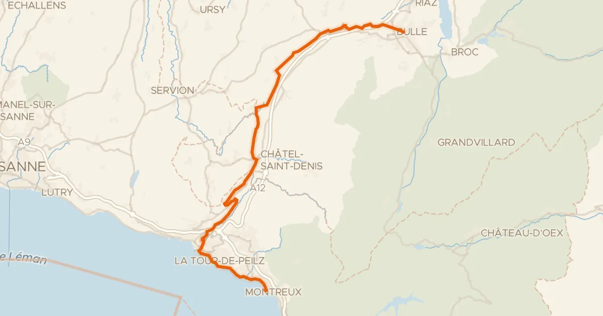
Alpes vaudoises-Pays de Fribourg
49 km↑ 1,397 m16 km away
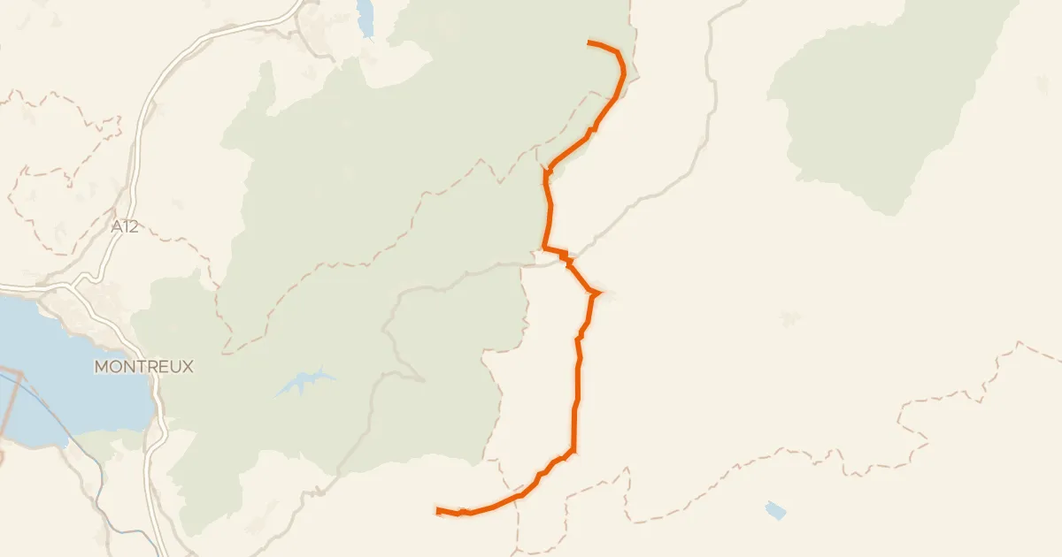
Col du Pillon · Mittelberg
Touring92% paved
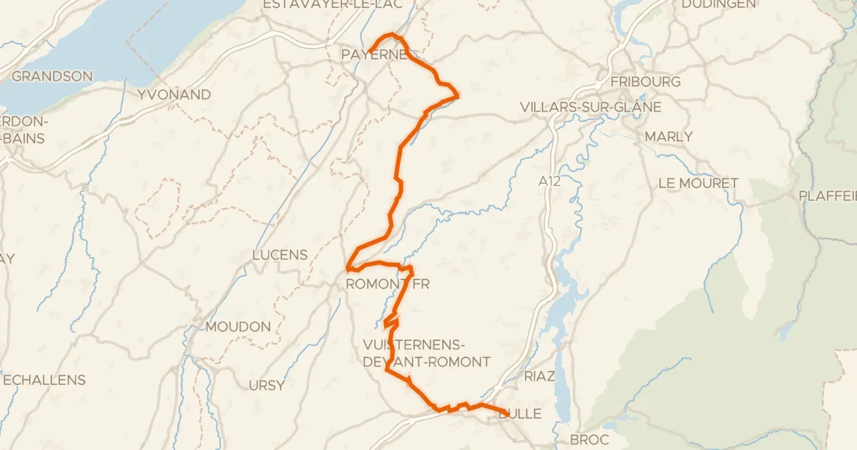
La Broye-La Gruyère
48 km↑ 814 m18 km away
Road bike100% paved
Route des lacs
43 km↑ 782 m19 km away

Gravel34% paved
Rondje Schloss Schwarzenburg en Ruine Grasburg
54 km↑ 1,435 m22 km away