Back to the librarykm 0–1km 2–4km 4–7km 15–16km 16–17km 17–24km 24–25km 35–38km 39–40km 40–42
GravelMade by RouteCasterRound trip
Rondje La Sarine en Lac de la Gruyère
Distance
57 km
Ascent
1,689 m
Highest point
1,303 m
57% paved
Start from your location
Ride there from home: we find the shortest way to the loop and start the loop from there.
The ride
Roll out of Massonnens and let the ride unfold: past the castle of Château baillival de Vuippens, on along the shore of Lac de la Gruyère and beside the La Sarine river before the road brings you home. Of the 57.0 km, a good share runs unpaved, and the route climbs 1689 m along the way. Village start, castle, lake and river — the loop keeps changing character as it goes.
Climbs
Climb 1Hill
1.1 km at 3.6% · max 8%
Climb 2Cat. 4
1.9 km at 5% · max 13.1%
Climb 3Cat. 4
3.5 km at 4.5% · max 12.8%
Climb 4Hill
0.9 km at 3.8% · max 11.2%
Climb 5Hill
0.9 km at 7% · max 18.5%
Climb 6Cat. 2
6.5 km at 9.5% · max 26%
Climb 7Hill
0.4 km at 8% · max 15.8%
Climb 8Cat. 4
3.4 km at 3.5% · max 16%
Climb 9Hill
0.7 km at 8.7% · max 19%
Climb 10Hill
1.7 km at 3.7% · max 13%
Routes nearby
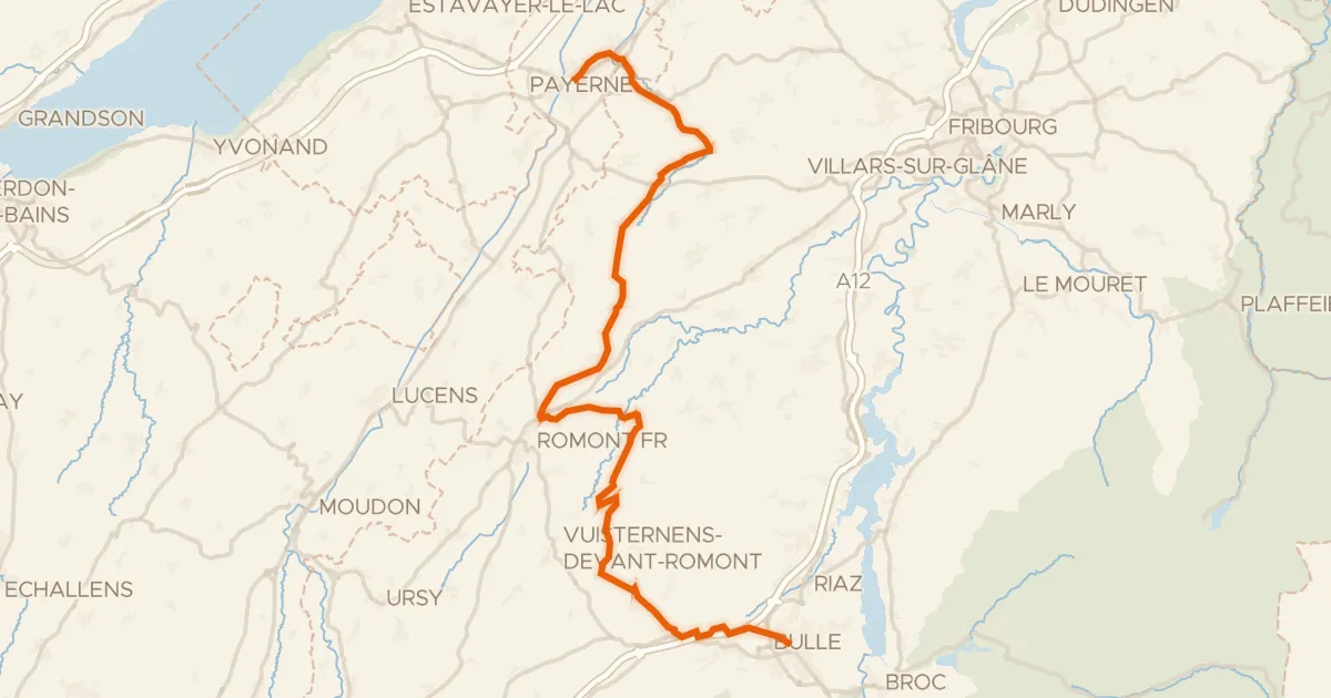
Touring92% paved
La Broye-La Gruyère
48 km↑ 814 m3 km away
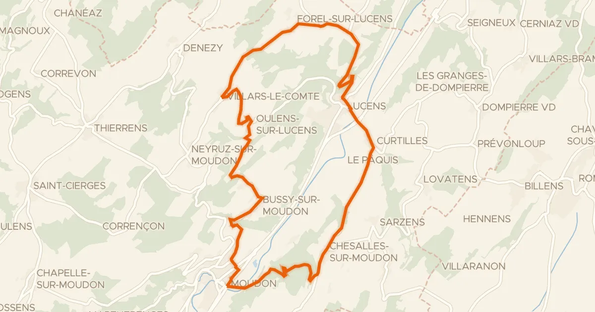
Road bike100% paved
Broye champêtre à vélo
24 km↑ 604 m12 km away
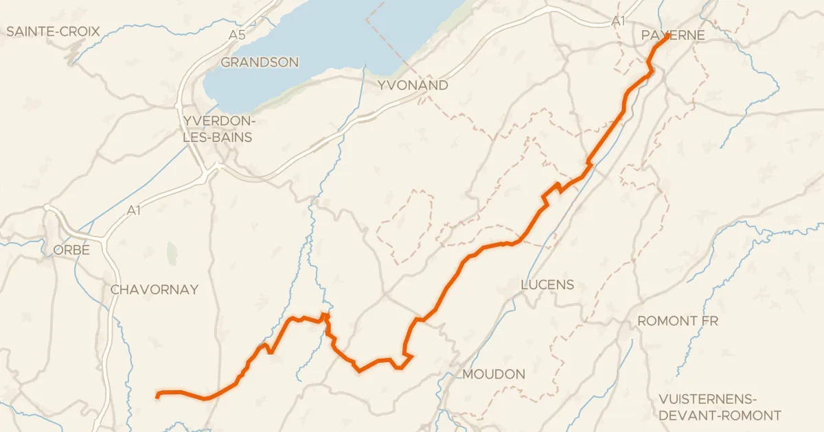
Road bike100% paved
Gros de Vaud - La Côte
47 km↑ 714 m16 km away

Gravel30% paved
Rondje Château d'En-Bas en Lac de la Gruyère
59 km↑ 2,904 m17 km away
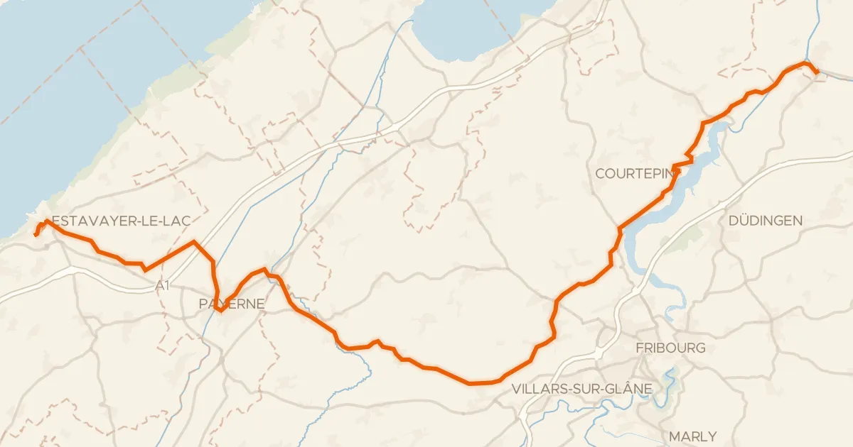
Touring91% paved
Route de l'ancien régime Bernois
49 km↑ 600 m17 km away
Road bike100% paved
Route des lacs
43 km↑ 782 m19 km away