Back to the librarykm 0–2km 2–4km 5–8km 16–20
Road bikeRound trip
Broye champêtre à vélo
Distance
24 km
Ascent
604 m
Highest point
767 m
100% paved
Start from your location
Ride there from home: we find the shortest way to the loop and start the loop from there.
The ride
23.7 km, 604 m of climbing, and a surface that's 100% paved. Tertiary roads make up 93% of the route, with 7% secondary road and 1% footpath. Traffic exposure stays low: 1% on protected cycleways and 0% on busy roads without a cycle path. A compact loop with plenty of up.
Climbs
Climb 1Cat. 4
2.3 km at 5.1% · max 14.5%
Climb 2Hill
1.7 km at 3.7% · max 7.9%
Climb 3Cat. 4
3.4 km at 4.3% · max 14.2%
Climb 4Cat. 3
3.9 km at 5.6% · max 13.3%
Routes nearby
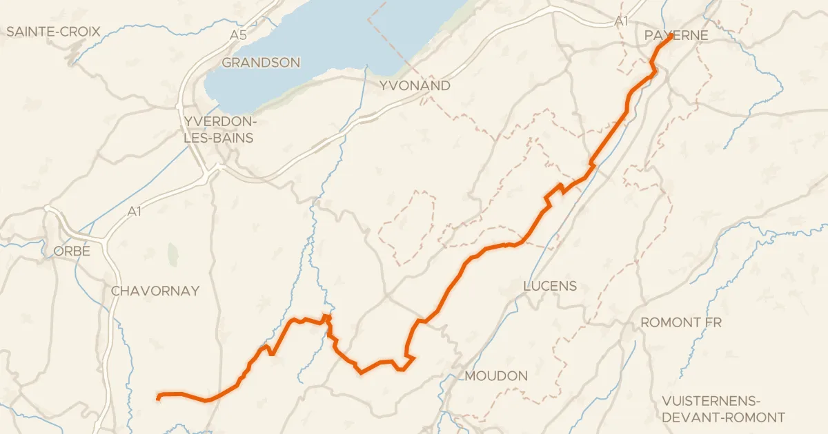
Road bike100% paved
Gros de Vaud - La Côte
47 km↑ 714 m8 km away
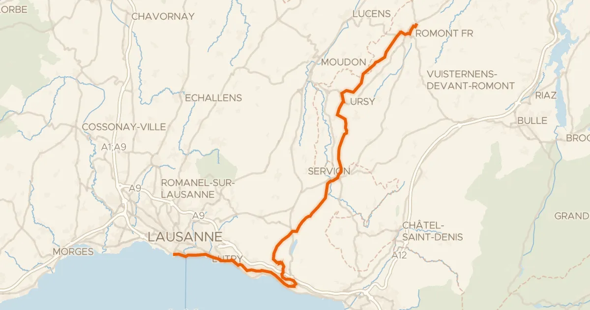
Touring94% paved
Route du Coeur
51 km↑ 1,139 m9 km away
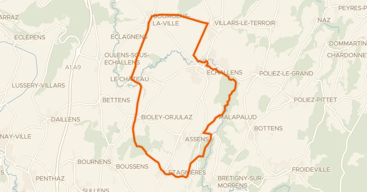
Touring86% paved
Boucle champêtre du Gros de Vaud
21 km↑ 245 m14 km away
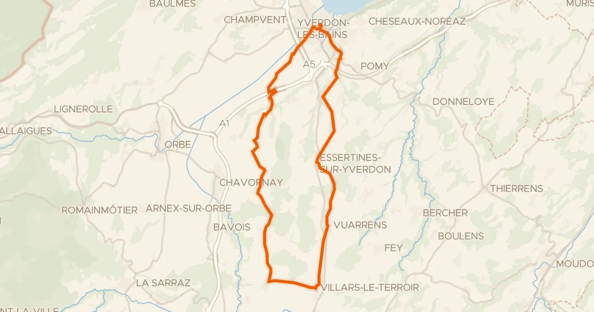
Road bike100% paved
Boucle champêtre du Nord vaudois
39 km↑ 390 m15 km away
Touring92% paved
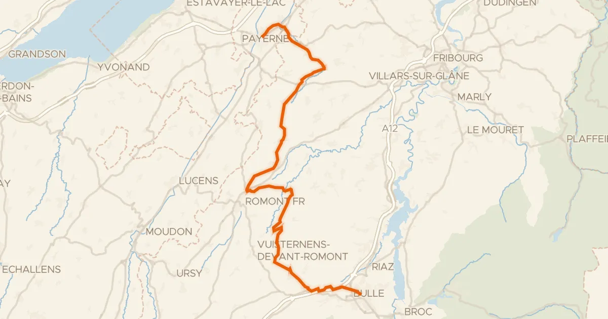
La Broye-La Gruyère
48 km↑ 814 m16 km away
Touring94% paved
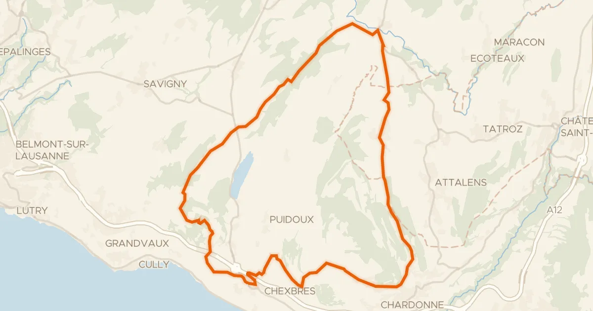
Tour du Mont Pélerin
30 km↑ 679 m17 km away