Back to the librarykm 0–3km 14–17km 17–18
TouringRound trip
Stockentalroute
Distance
41 km
Ascent
564 m
Highest point
743 m
87% paved
Start from your location
Ride there from home: we find the shortest way to the loop and start the loop from there.
The ride
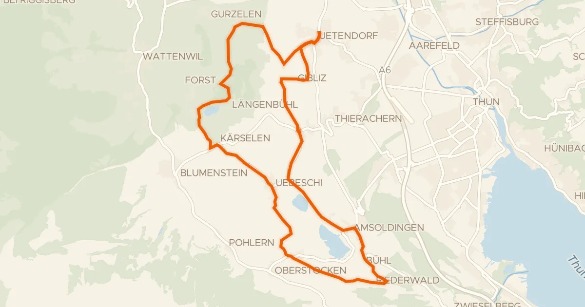
A 40.8 km ride with 564 m of climbing, rolling along country roads for 55% of the way. The surface is 87% paved and 12% unpaved, with dirt tracks making up 11% and tertiary roads another 11%. Traffic exposure stays low: 21% runs on protected cycleways or bike-network roads, and 0% sits on busy roads without a cycle path. It's a straightforward mix of tarmac and dirt, ready when you are.
Climbs
Climb 1Cat. 4
2.6 km at 3.5% · max 11.7%
Climb 2Hill
2.3 km at 3% · max 9%
Climb 3Hill
0.8 km at 3.2% · max 7.4%
Routes nearby
Road bike95% paved
Moränenseeroute
26 km↑ 345 m3 km away
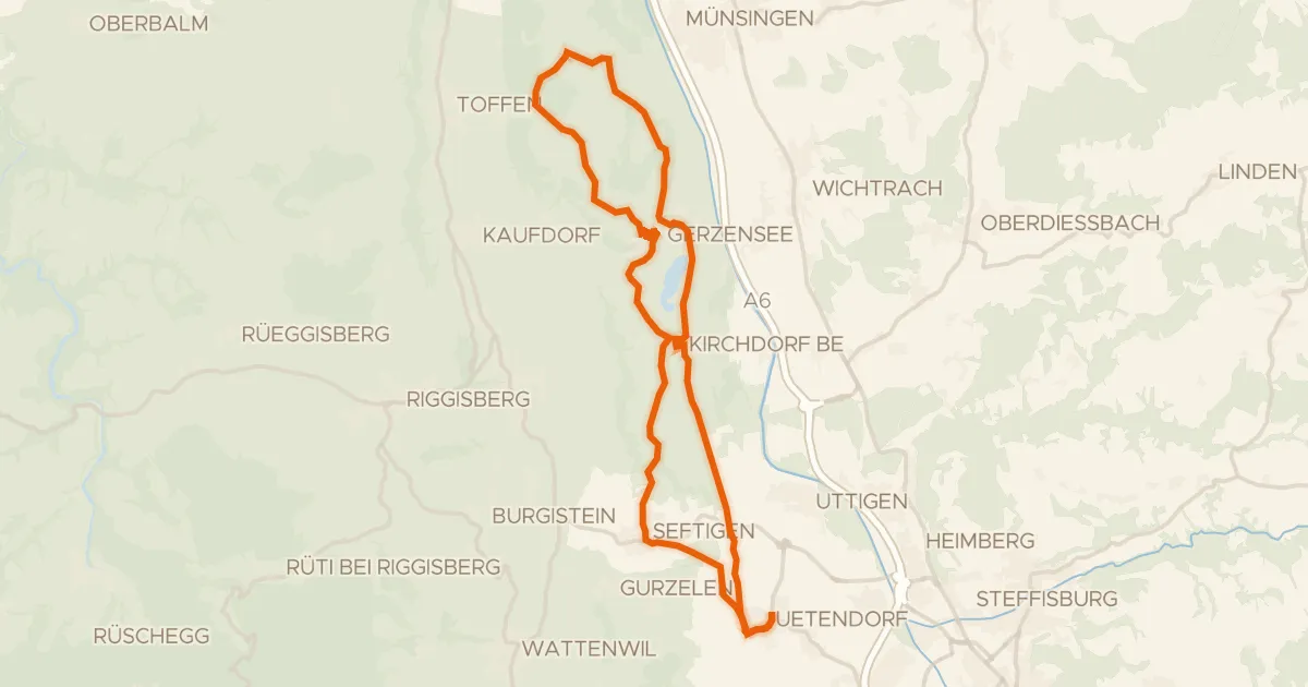
Touring86% paved
Belpbergroute
31 km↑ 548 m5 km away
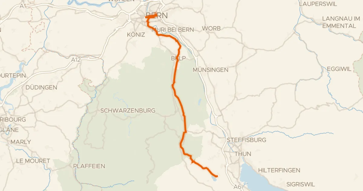
Touring91% paved
Gürbe–Sense
39 km↑ 274 m8 km away
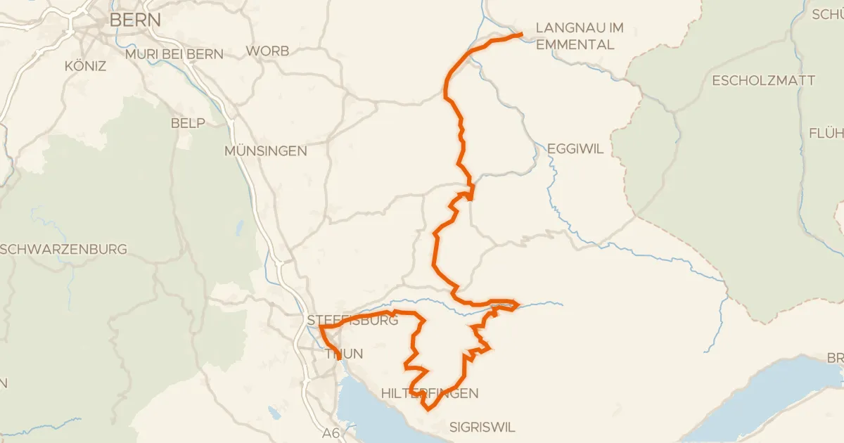
Road bike96% paved
Herzroute
72 km↑ 2,335 m12 km away
Multenegg
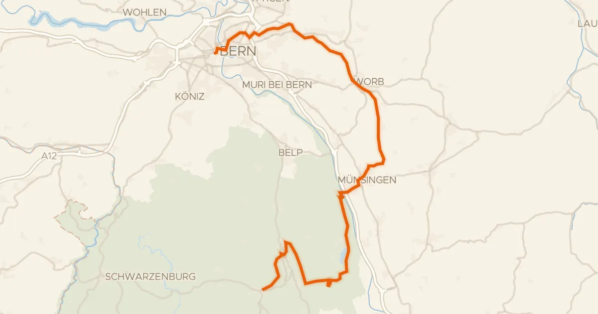
Touring89% paved
Bern-Süd-Route
42 km↑ 698 m13 km away
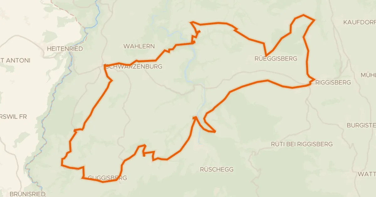
Road bike99% paved
Sagenroute Gantrisch
49 km↑ 1,175 m14 km away