Back to the librarykm 2 · Oct 2019 · © chuck / Mapillary, CC BY-SA km 35 · Apr 2023 · © Kluex / Mapillary, CC BY-SA km 47 · Apr 2023 · © Kluex / Mapillary, CC BY-SA km 63 · Oct 2019 · © chuck / Mapillary, CC BY-SA km 22–24km 24–26km 26–27km 30–30km 31–32km 32–33km 36–37km 38–40km 50–51km 53–58km 61–62
Road bikeRouteCasterRound trip
Rondje Schwarzer Regen en Mitternacher Ohe
Distance
73 km
Ascent
1,286 m
Highest point
849 m
99% paved
Start from your location
Ride there from home: we find the shortest way to the loop and start the loop from there.
The ride
Roll out of Frauenau and straight into the Naturpark Bayerischer Wald, where the climbing begins. The route follows the Mitternacher Ohe, then the Schwarzer Regen and the Großer Regen, with 1286 m of elevation gain along the way. The 73.4 km are almost entirely on paved surface, and the finish brings you back to Frauenau.
Along the way
Climbs
Climb 1Cat. 4
2.1 km at 7% · max 16.4%
Climb 2Hill
1.2 km at 3.1% · max 7.9%
Climb 3Hill
1.2 km at 5.3% · max 9.6%
Climb 4Hill
0.5 km at 5.2% · max 7%
Climb 5Hill
0.9 km at 3.5% · max 6.6%
Climb 6Hill
0.7 km at 4.8% · max 7.6%
Climb 7Hill
1.3 km at 4.1% · max 11.2%
Climb 8Cat. 4
1.7 km at 4.8% · max 13.8%
Climb 9Hill
0.8 km at 7.5% · max 15.8%
Climb 10Cat. 3
5.1 km at 3.6% · max 11%
Climb 11Hill
1.7 km at 3.4% · max 7.2%
Routes nearby
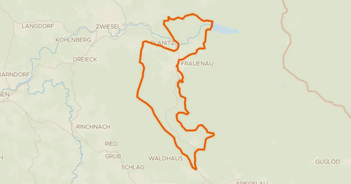
Gravel29% paved
Radweg 5 "Rund um Frauenau"
40 km↑ 756 m2 km away
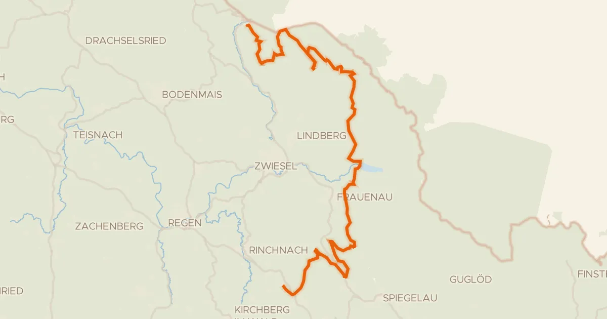
Gravel26% paved
Radweg 50
61 km↑ 1,658 m4 km away
Obere Scharte · Hochbergsattel
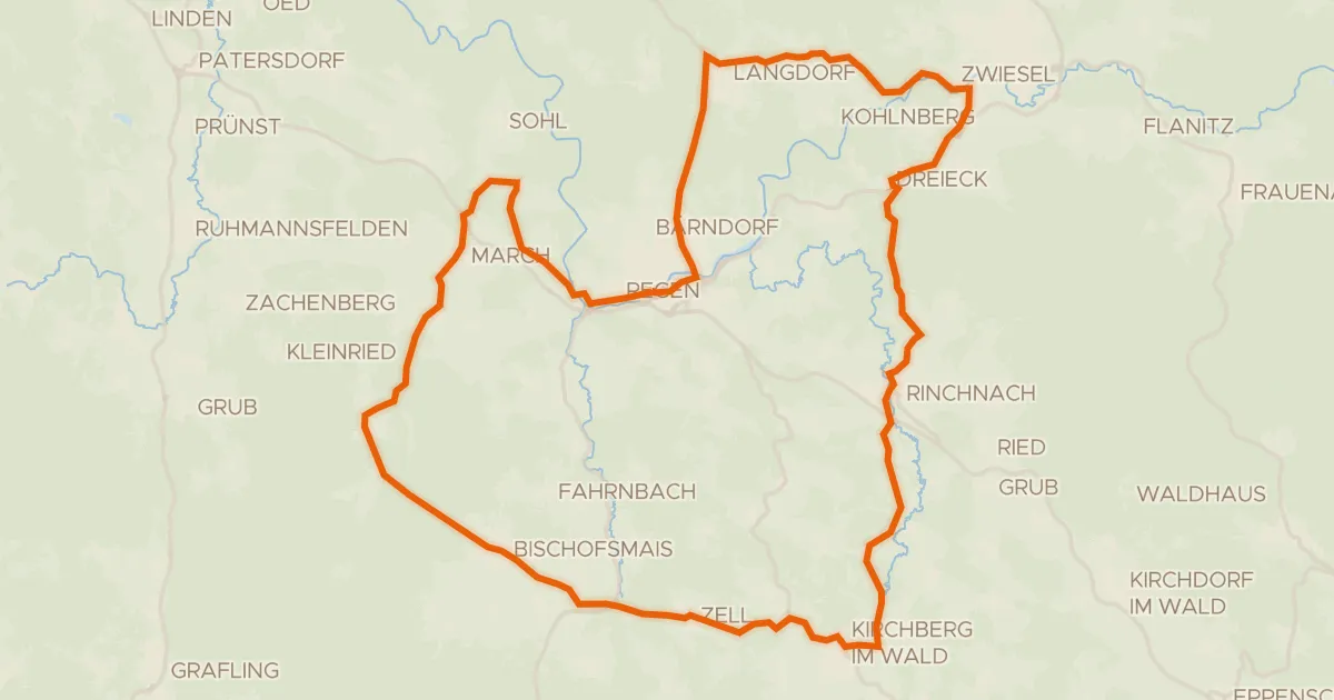
Road bike99% paved
Rondje Schwarzer Regen en Schlossauer Ohe
56 km↑ 1,089 m13 km away
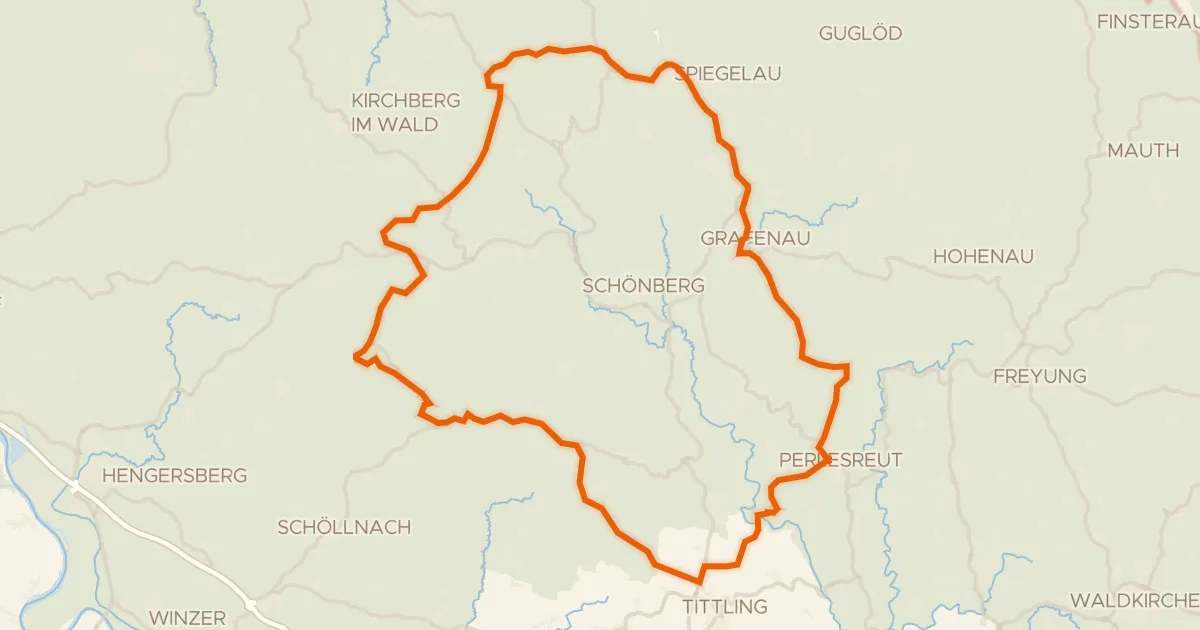
Road bike98% paved
Rondje Obere Ilz en Mitternacher Ohe
78 km↑ 1,535 m18 km away
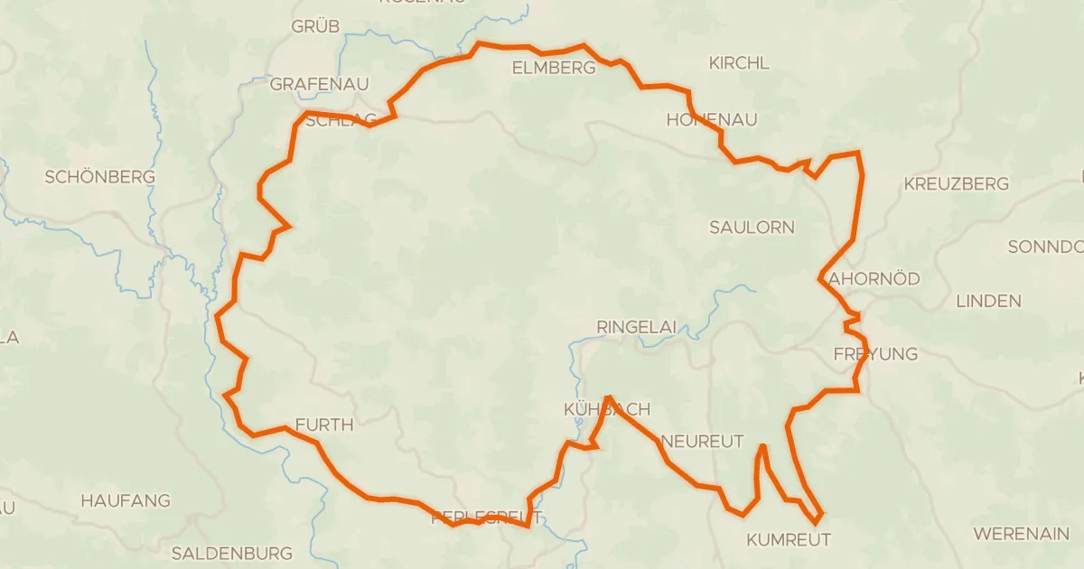
Gravel36% paved
Rondje Schloß Wolfstein en Obere Ilz
58 km↑ 1,485 m22 km away
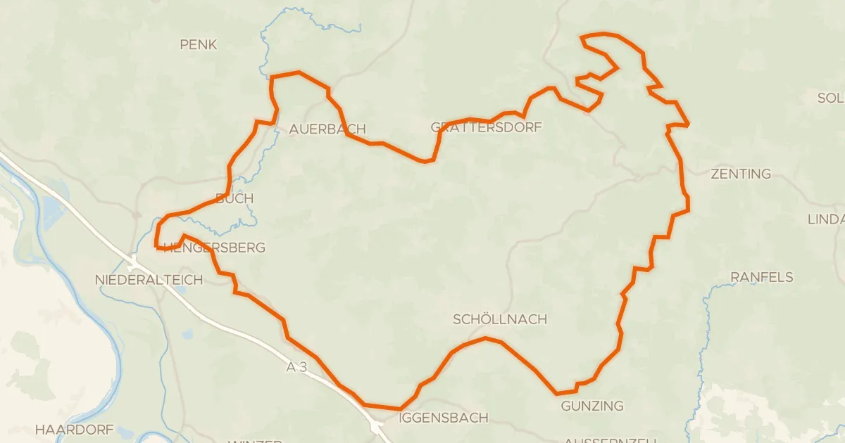
Gravel40% paved
Rondje Hoiberhügel en Schuttholzer Moor
60 km↑ 1,348 m26 km away