Back to the librarykm 0–3km 14–19km 20–24km 34–35
GravelRound trip
Radweg 5 "Rund um Frauenau"
Distance
40 km
Ascent
756 m
Highest point
933 m
29% paved
Start from your location
Ride there from home: we find the shortest way to the loop and start the loop from there.
The ride
A 39.8 km ride with 756 m of climbing, mostly on dirt track. About 70% is unpaved and 29% paved, with country and residential roads making up the rest. Traffic exposure stays at 82% on protected cycleways and bike-network roads, and 0% on busy roads without a cycle path. Enjoy the mix of surfaces and the elevation as you go.
Climbs
Climb 1Cat. 3
3.4 km at 4.9% · max 11.4%
Climb 2Cat. 3
5.7 km at 3.8% · max 14%
Climb 3Cat. 4
4.5 km at 3.3% · max 13.5%
Climb 4Hill
1.3 km at 4.2% · max 15.9%
Routes nearby
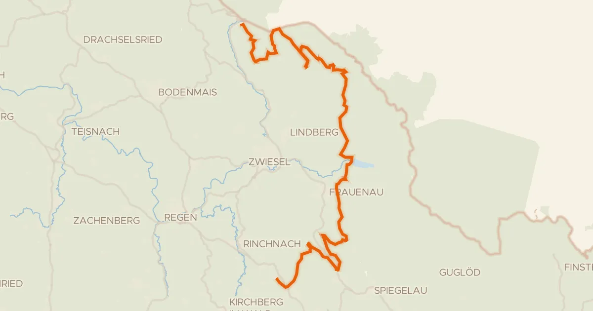
Gravel26% paved
Radweg 50
61 km↑ 1,658 m4 km away
Obere Scharte · Hochbergsattel
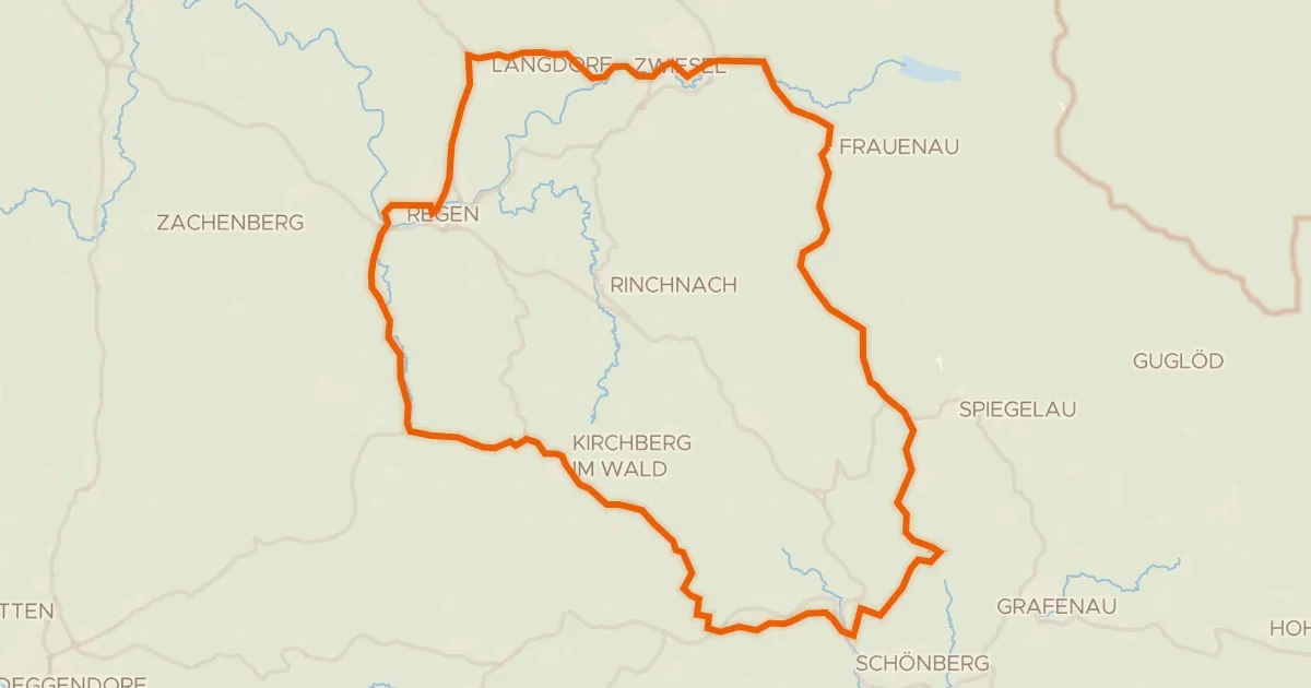
Road bike99% paved
Rondje Schwarzer Regen en Mitternacher Ohe
73 km↑ 1,286 m8 km away
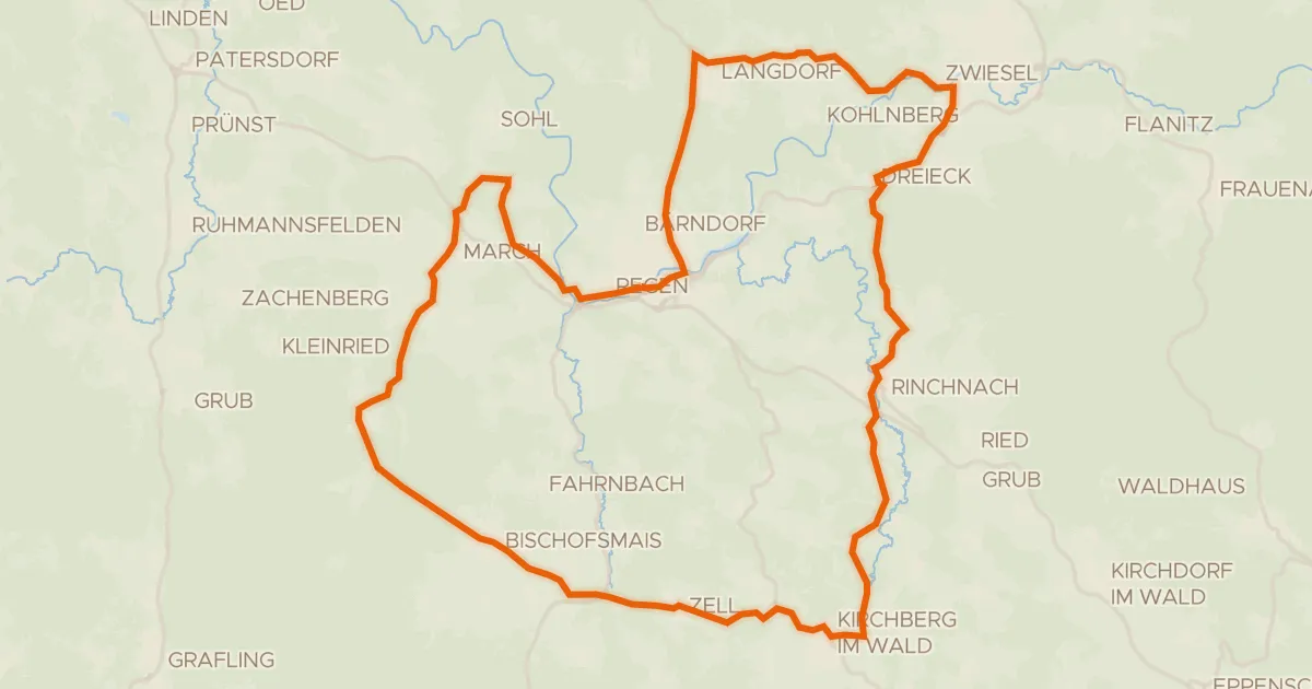
Road bike99% paved
Rondje Schwarzer Regen en Schlossauer Ohe
56 km↑ 1,089 m13 km away
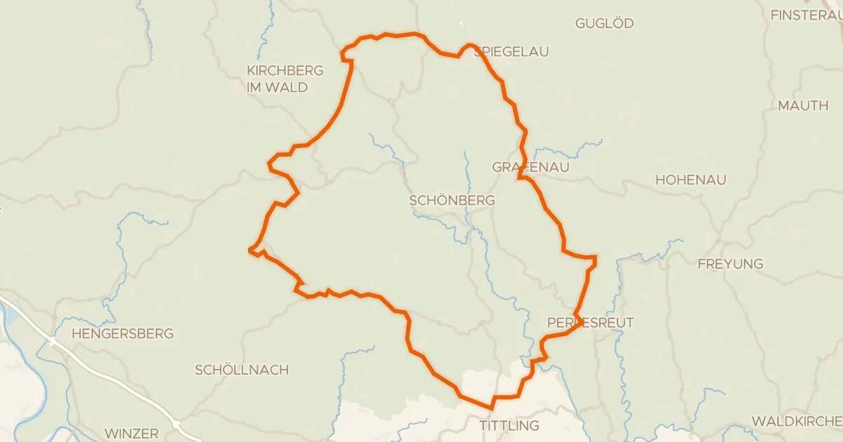
Road bike98% paved
Rondje Obere Ilz en Mitternacher Ohe
78 km↑ 1,535 m18 km away
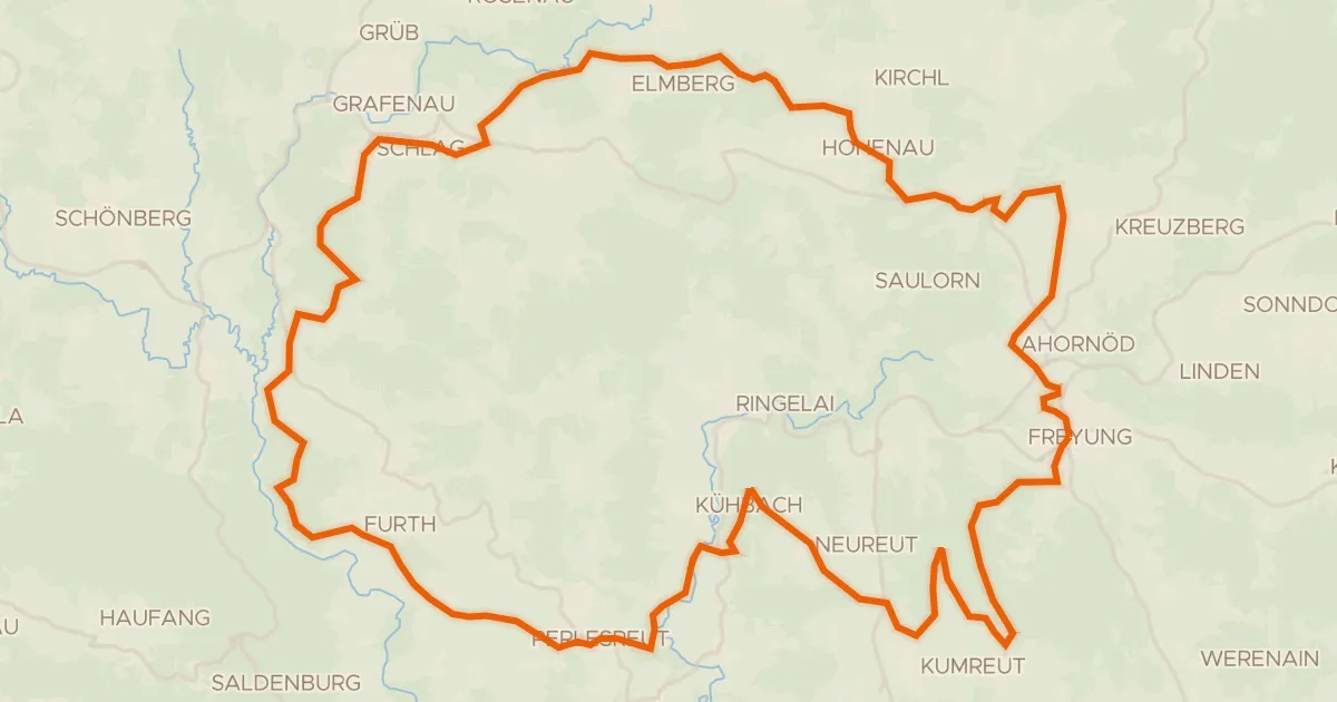
Gravel36% paved
Rondje Schloß Wolfstein en Obere Ilz
58 km↑ 1,485 m22 km away
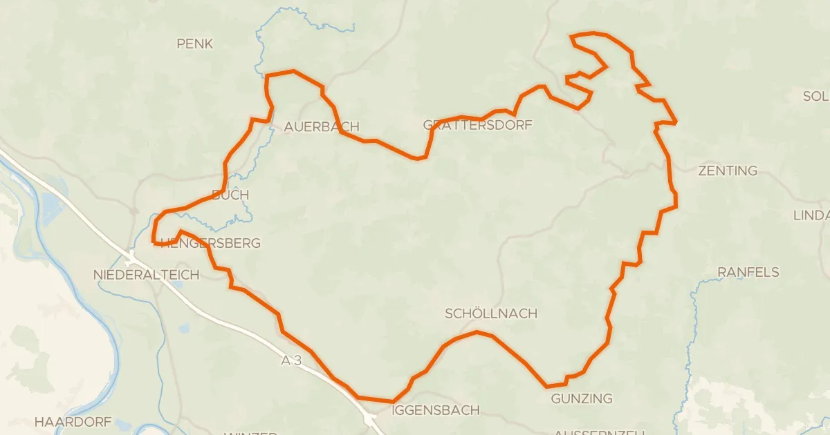
Gravel40% paved
Rondje Hoiberhügel en Schuttholzer Moor
60 km↑ 1,348 m25 km away