Back to the librarykm 49 · Nov 2019 · © highwayphotograph / Mapillary, CC BY-SA km 6–9km 11–13km 13–14km 14–17km 19–23km 27–28km 33–34km 36–36km 37–38km 40–41km 57–58
GravelRouteCasterRound trip
Rondje Hoiberhügel en Schuttholzer Moor
Distance
60 km
Ascent
1,348 m
Highest point
1,020 m
40% paved
Start from your location
Ride there from home: we find the shortest way to the loop and start the loop from there.
The ride
Roll out of Hengersberg and let the ride unfold: 59.7 km with 1348 m of climbing, mostly unpaved. You follow the Hengersberger Ohe river out of the village, then climb to the Hoiberhügel nature reserve before crossing the Schuttholzer Moor nature reserve. The loop brings you back to Hengersberg, where it all began.
Along the way
Climbs
Climb 1Cat. 4
3.2 km at 3.8% · max 14.6%
Climb 2Cat. 4
2.3 km at 5.5% · max 19.2%
Climb 3Hill
0.8 km at 5.5% · max 18.6%
Climb 4Cat. 3
2.6 km at 8.8% · max 19%
Climb 5Cat. 2
3.7 km at 9% · max 30.5%
Climb 6Hill
0.8 km at 4.6% · max 8.4%
Climb 7Hill
1.4 km at 5.1% · max 12.6%
Climb 8Cat. 4
0.7 km at 13.4% · max 26.7%
Climb 9Hill
0.6 km at 6.1% · max 11.6%
Climb 10Hill
1.1 km at 5% · max 11.5%
Climb 11Hill
0.7 km at 4.3% · max 10.9%
Routes nearby
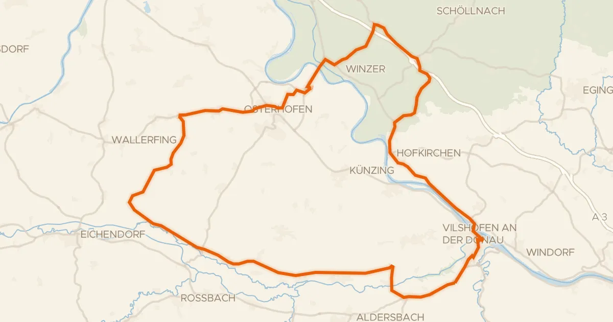
Road bike99% paved
Rondje Burgruine Winzer en Vils-Engtal
72 km↑ 530 m11 km away
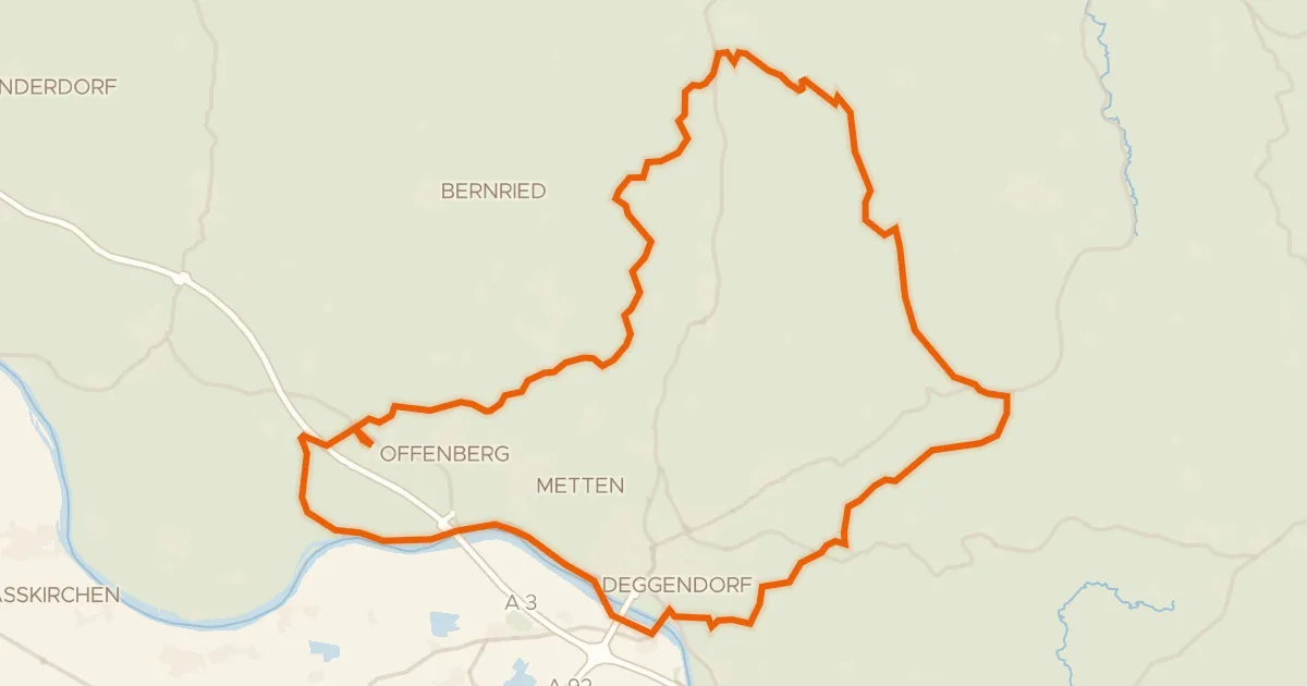
Gravel22% paved
Rondje Schloss Egg en Schloss Offenberg
66 km↑ 1,430 m14 km away
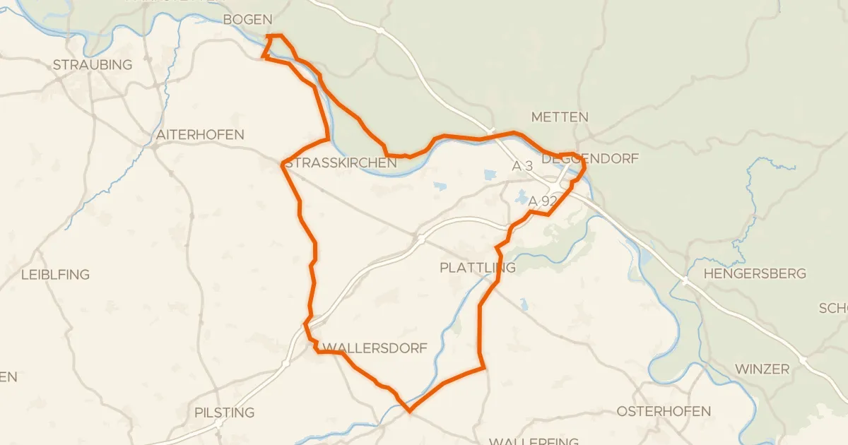
Road bike99% paved
Rondje Schloss Loham en Isarmündung
75 km↑ 170 m16 km away
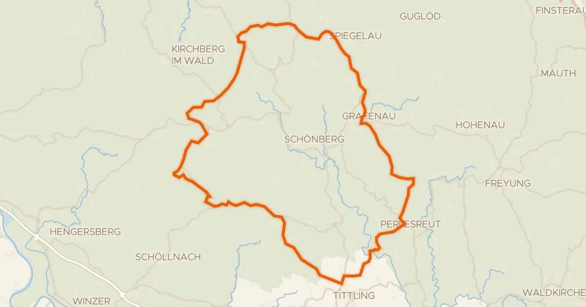
Road bike98% paved
Rondje Obere Ilz en Mitternacher Ohe
78 km↑ 1,535 m21 km away
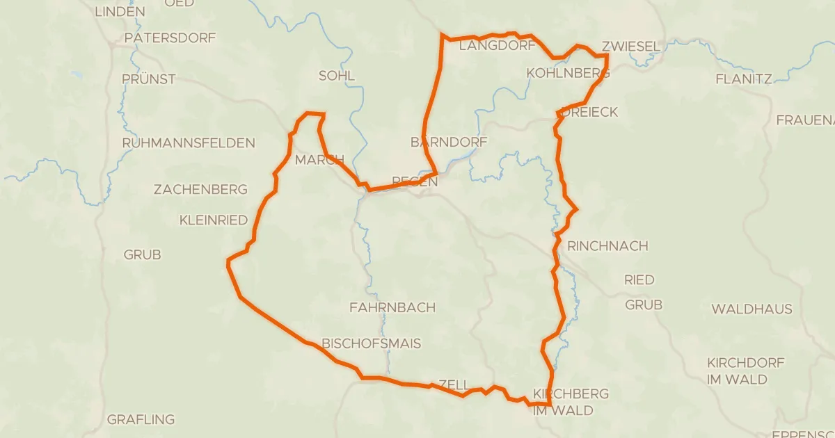
Road bike99% paved
Rondje Schwarzer Regen en Schlossauer Ohe
56 km↑ 1,089 m21 km away
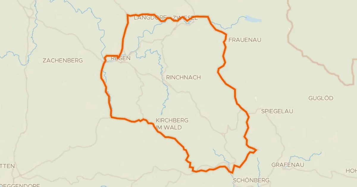
Road bike99% paved
Rondje Schwarzer Regen en Mitternacher Ohe
73 km↑ 1,286 m22 km away