Back to the librarykm 15 · May 2024 · © foxconn11 / Mapillary, CC BY-SA km 29 · Mar 2026 · © rnissl / Mapillary, CC BY-SA km 53 · May 2026 · © rnissl / Mapillary, CC BY-SA km 74 · Mar 2026 · © rnissl / Mapillary, CC BY-SA km 20–22km 32–34km 34–35
Road bikeRouteCasterRound trip
Rondje Schloß Neusath en Naturpark Oberpfälzer Wald
Distance
82 km
Ascent
763 m
Highest point
518 m
97% paved
Start from your location
Ride there from home: we find the shortest way to the loop and start the loop from there.
The ride
Roll out of Schwarzenfeld and let the Oberpfälzer Wald nature reserve open the ride. Next comes Schloß Neusath, a castle, before the Porphyr reserve and the Weichselbrunner Weiher with its dry pine forest near Bodenwöhr. The Hirtlohweiher reserve near Schwandorf rounds things off before you pedal back to Schwarzenfeld, 82.3 km with 763 m of climbing.
Along the way
Climbs
Climb 1Hill
2 km at 3.9% · max 13%
Climb 2Cat. 4
2 km at 5.7% · max 12.6%
Climb 3Hill
0.5 km at 5.7% · max 9%
Routes nearby
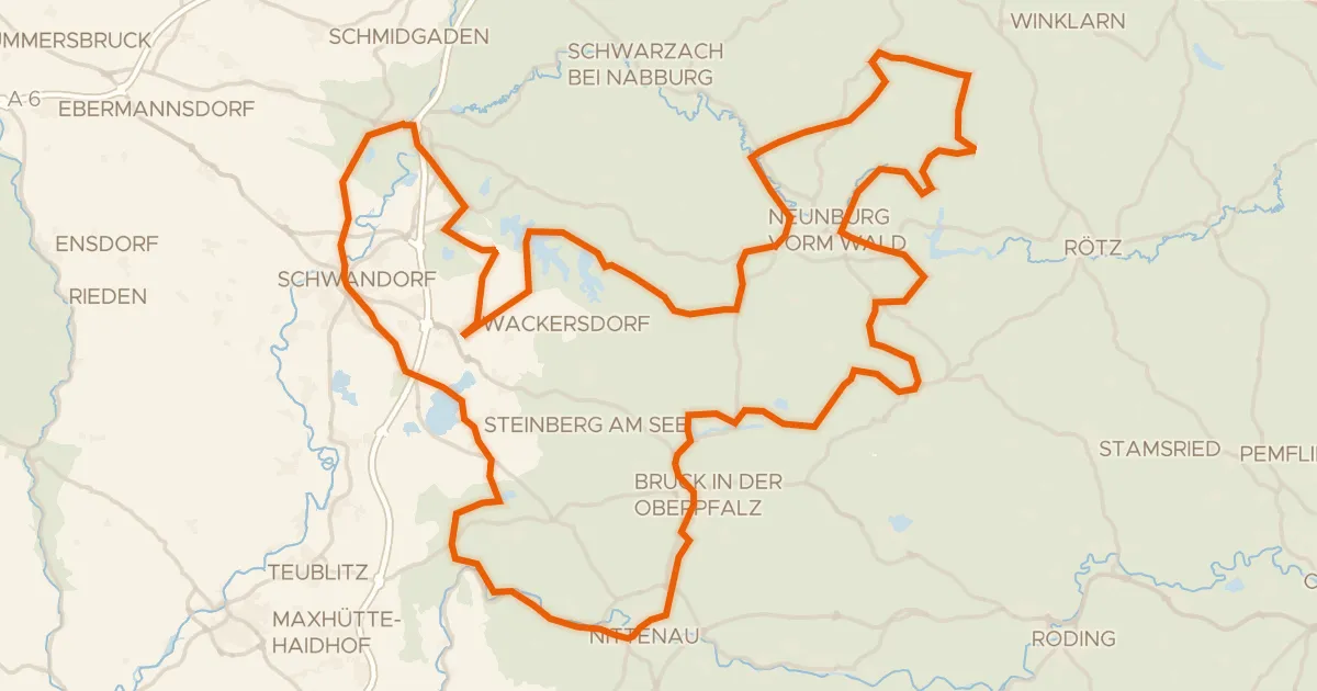
Touring72% paved
Radroute Oberpfälzer Seenland Rundweg
147 km↑ 1,670 m14 km away
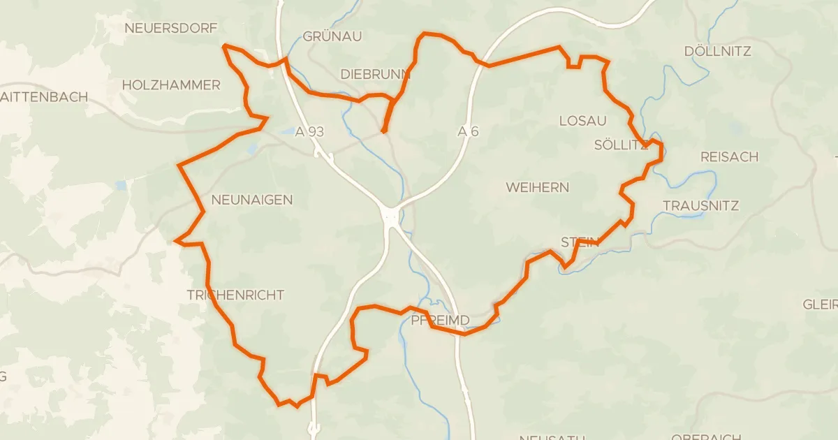
Gravel27% paved
Rondje Burg Wernberg en Pfreimd
58 km↑ 1,055 m15 km away
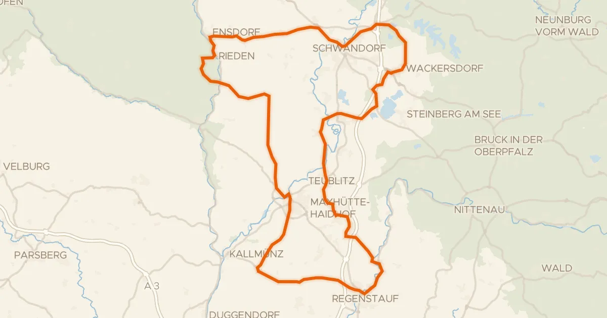
Road bike100% paved
Rondje Schloss Charlottenhof en Naturpark Hirschwald
99 km↑ 978 m18 km away
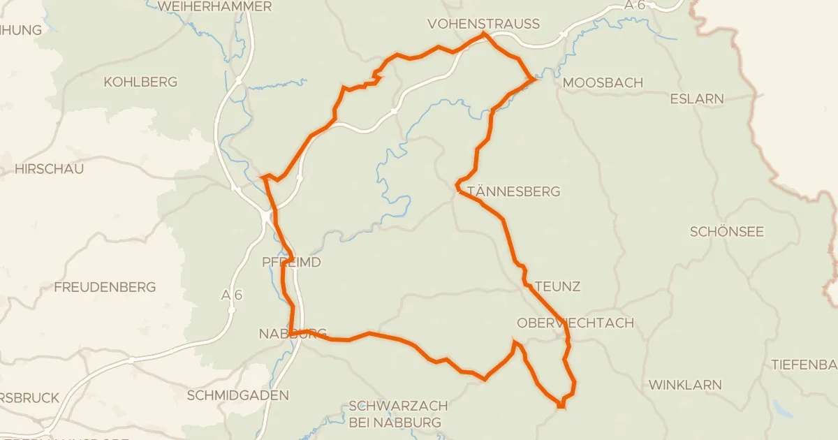
Road bike100% paved
Rondje Burg Leuchtenberg en Burg Wernberg
86 km↑ 1,448 m18 km away
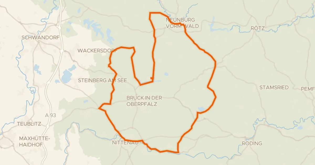
Road bike100% paved
Rondje Schloss Pettendorf en Naturpark Oberpfälzer Wald
78 km↑ 795 m19 km away
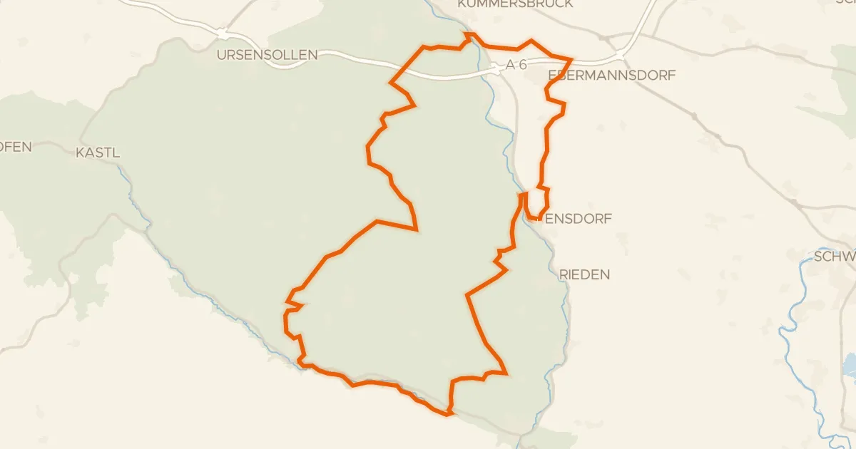
Gravel20% paved
Rondje Ruine Eberburg en Vils
62 km↑ 961 m20 km away