Back to the librarykm 2–2km 2–4km 21–23km 26–27km 27–28km 29–30km 45–46km 53–56km 57–58km 60–61
GravelRouteCasterRound trip
Rondje Ruine Eberburg en Vils
Distance
62 km
Ascent
961 m
Highest point
531 m
20% paved
Start from your location
Ride there from home: we find the shortest way to the loop and start the loop from there.
The ride
Roll out of Ensdorf and into Naturpark Hirschwald, then follow the Vils and the Lauterach as the route unfolds. Schloß Ebermannsdorf and the Ruine Eberburg come next, two castles along the way. With 61.5 km and 961 m of climbing, most of it runs unpaved, so the surface shifts as you go. The loop brings you back to Ensdorf.
Climbs
Climb 1Hill
0.3 km at 10.2% · max 14.9%
Climb 2Cat. 4
1.3 km at 9.1% · max 19.8%
Climb 3Cat. 4
1.9 km at 4.7% · max 19.1%
Climb 4Hill
0.6 km at 5.2% · max 7.6%
Climb 5Hill
0.9 km at 6.4% · max 19.1%
Climb 6Hill
1.2 km at 5.7% · max 11.4%
Climb 7Hill
1 km at 4.4% · max 14.6%
Climb 8Hill
2.5 km at 3.1% · max 16.4%
Climb 9Hill
0.7 km at 8.2% · max 13.6%
Climb 10Hill
0.7 km at 4.3% · max 9.4%
Routes nearby
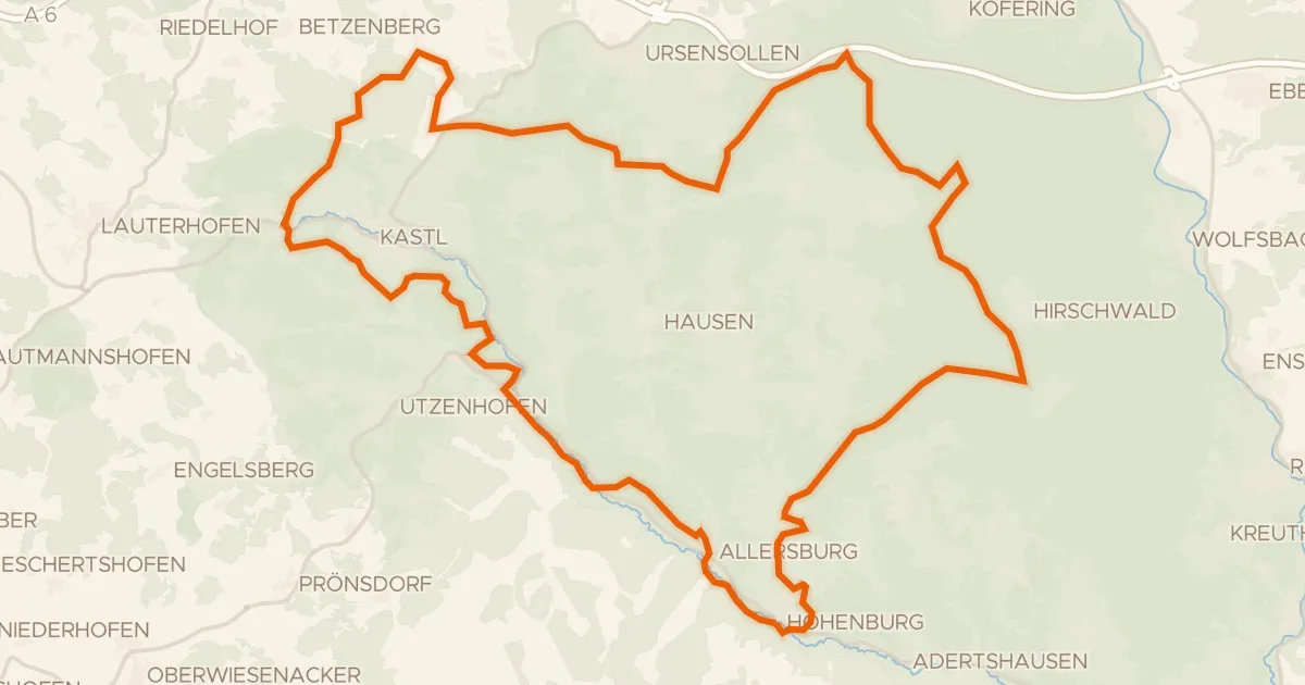
Gravel17% paved
Rondje Schweppermannsburg en Naturpark Hirschwald
62 km↑ 1,215 m12 km away
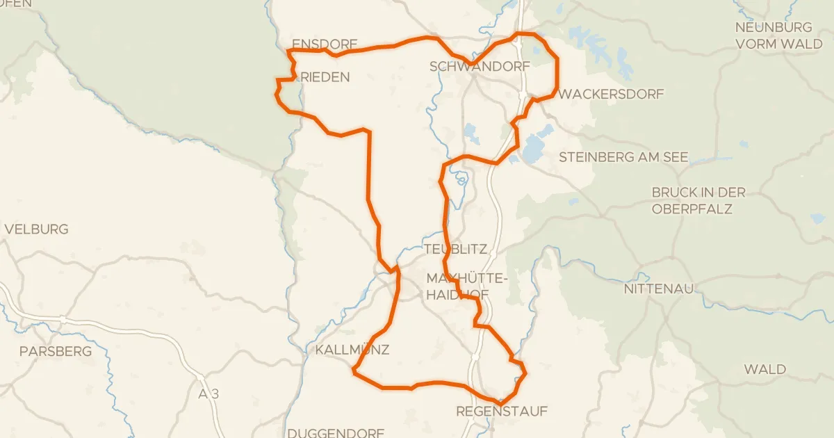
Road bike100% paved
Rondje Schloss Charlottenhof en Naturpark Hirschwald
99 km↑ 978 m15 km away
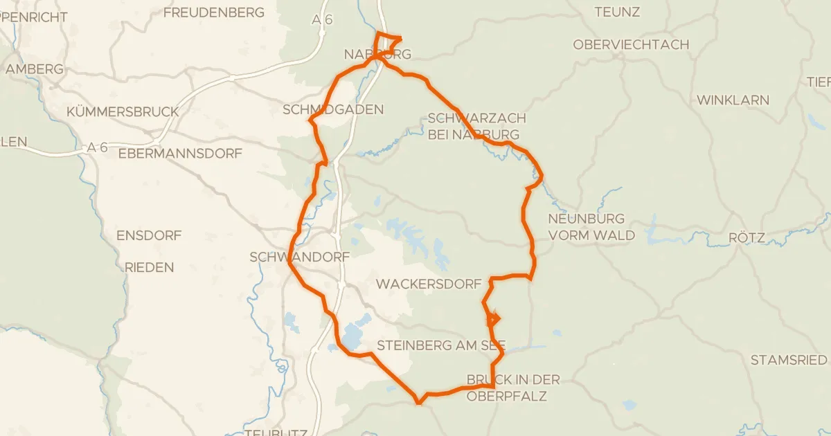
Road bike97% paved
Rondje Schloß Neusath en Naturpark Oberpfälzer Wald
82 km↑ 763 m21 km away
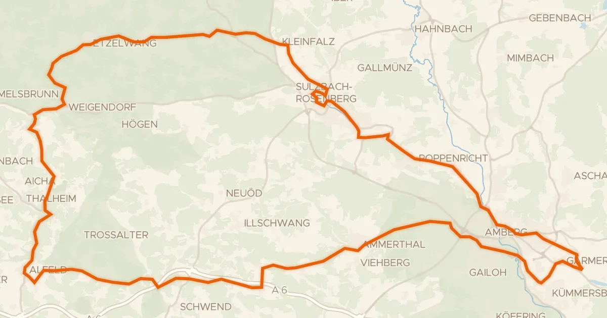
Road bike99% paved
Rondje Schloss Sulzbach en Wasserschloss Moos
83 km↑ 906 m21 km away
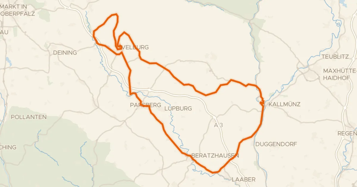
Road bike98% paved
Rondje langs de Schwarze Laber en de Vils
87 km↑ 1,142 m22 km away
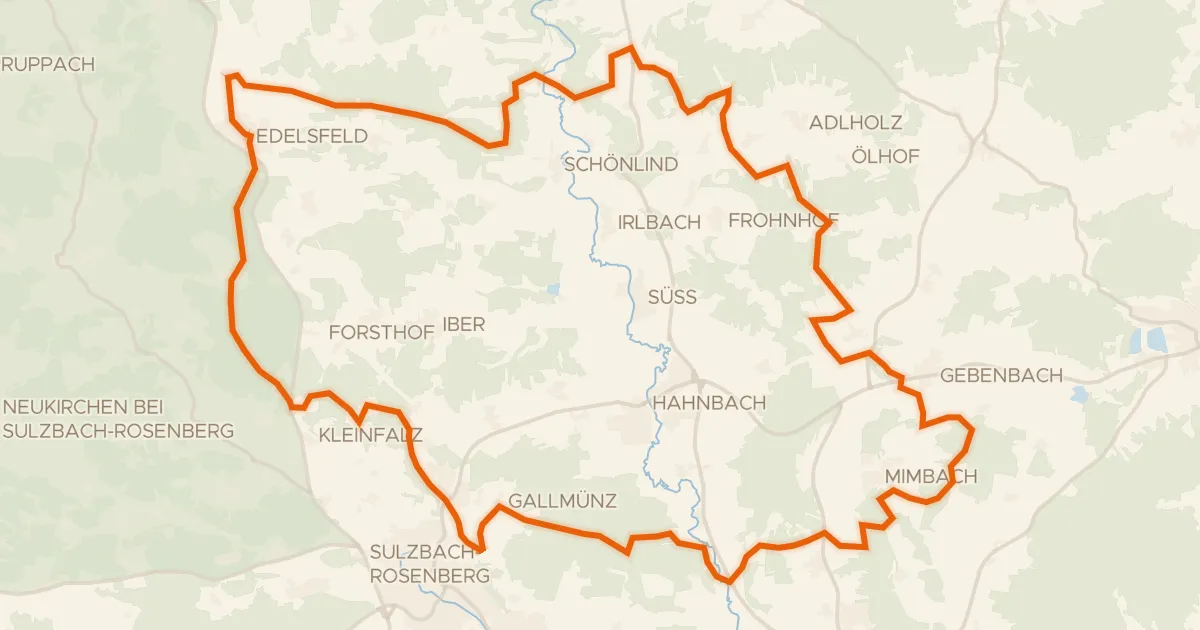
Gravel15% paved
Rondje Wüstung Großenfalz en Vils
58 km↑ 1,053 m25 km away