Back to the librarykm 20 · Jan 2019 · © msdess / Mapillary, CC BY-SA km 6–7km 11–13km 39–40km 63–65km 68–70
Road bikeRouteCasterRound trip
Rondje Schloss Mariakirchen en Kollbach
Distance
75 km
Ascent
833 m
Highest point
488 m
97% paved
Start from your location
Ride there from home: we find the shortest way to the loop and start the loop from there.
The ride
Roll out of Falkenberg and let the route unfold: 74.8 km with 833 m of climbing, mostly on paved roads and a small unpaved share. You pass the Kollbach river, then Schloss Mariakirchen castle, then Oberes Schloß castle, before the road brings you back to Falkenberg. A loop that strings together two castles and a river in one ride.
Along the way
Climbs
Climb 1Hill
0.5 km at 5.3% · max 7.7%
Climb 2Hill
1.4 km at 3.5% · max 6.6%
Climb 3Hill
0.8 km at 3.5% · max 6.4%
Climb 4Hill
1.4 km at 3.3% · max 10.3%
Climb 5Hill
2.1 km at 3.1% · max 7.5%
Routes nearby
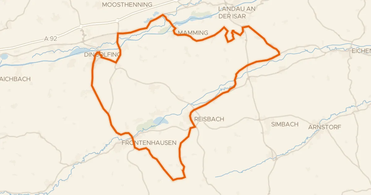
Road bike97% paved
Rondje Rosenau en Vilskanal
73 km↑ 717 m16 km away
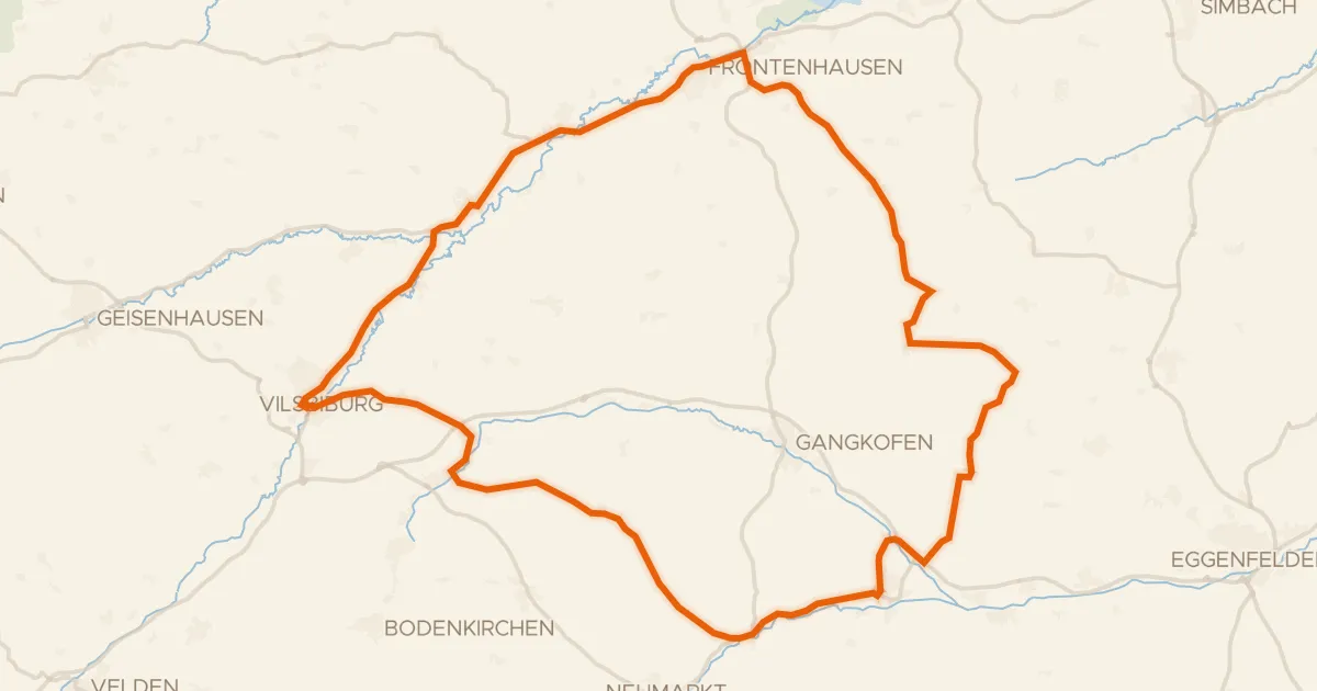
Road bike99% paved
Rondje Schloss Gerzen en Vils
73 km↑ 619 m16 km away
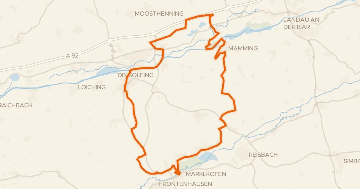
Gravel37% paved
Rondje Schloss Warth en Vilstal bei Marklkofen
57 km↑ 491 m22 km away
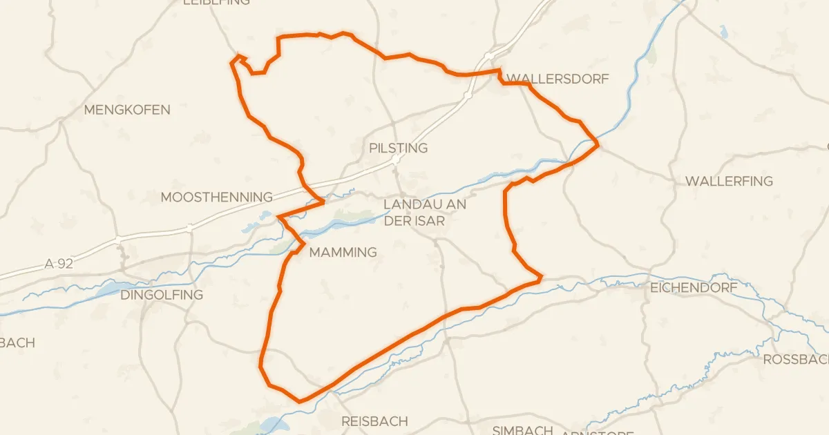
Road bike100% paved
Rondje Isar en Vilskanal
79 km↑ 526 m23 km away
Gravel13% paved
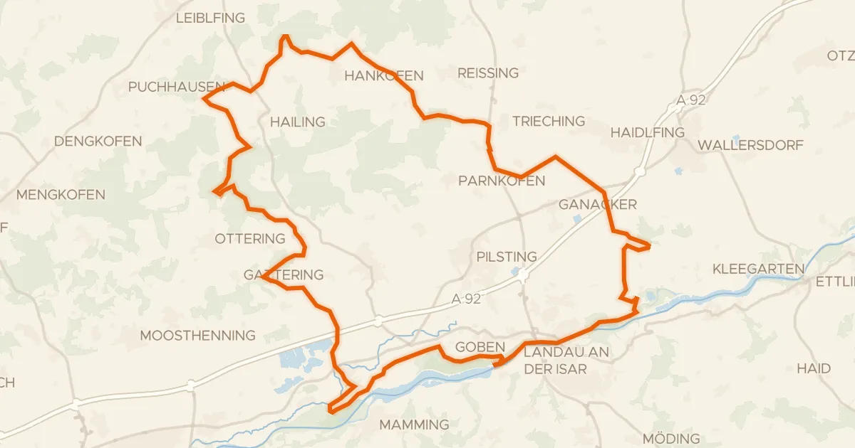
Rondje Isarauen bei Goben en Isar
64 km↑ 477 m29 km away
Gravel21% paved
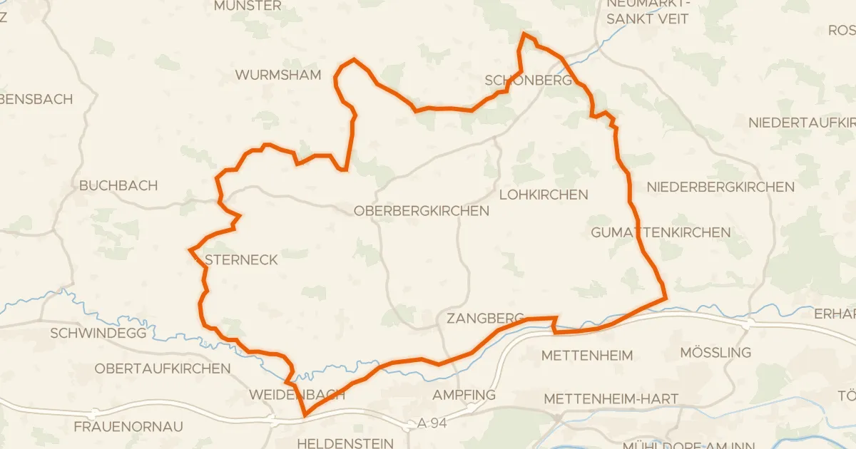
Rondje Isen en Rott
57 km↑ 703 m29 km away