Back to the librarykm 2 · Aug 2021 · © wegatest / Mapillary, CC BY-SA km 38 · Aug 2023 · © chicc0 / Mapillary, CC BY-SA km 77 · Aug 2021 · © wegatest / Mapillary, CC BY-SA km 3–4km 4–5km 48–50
Road bikeRouteCasterRound trip
Rondje Isar en Vilskanal
Distance
79 km
Ascent
526 m
Highest point
483 m
100% paved
Start from your location
Ride there from home: we find the shortest way to the loop and start the loop from there.
The ride
From Ettling the route rolls out along the Vilskanal and the Isar, then slips through the Isaraltwasser- und Brennenbereich bei Mamming nature reserve. Onward past the Magerstandorte bei Rosenau nature reserve, with 526 m of climbing spread over 78.8 km of paved surface. Back to Ettling it is, rivers behind you and the legs nicely warmed.
Along the way
Climbs
Climb 1Hill
0.9 km at 3.7% · max 6.2%
Climb 2Hill
1.5 km at 3.6% · max 7.2%
Climb 3Hill
1.8 km at 3.1% · max 10.6%
Routes nearby
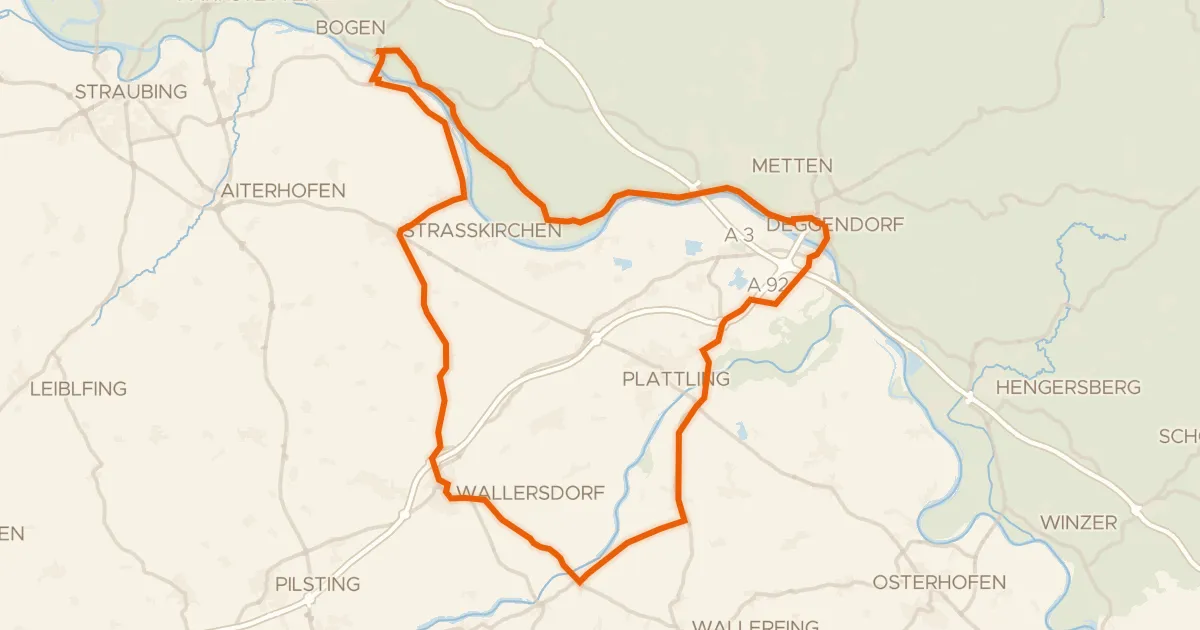
Road bike99% paved
Rondje Schloss Loham en Isarmündung
75 km↑ 170 m12 km away
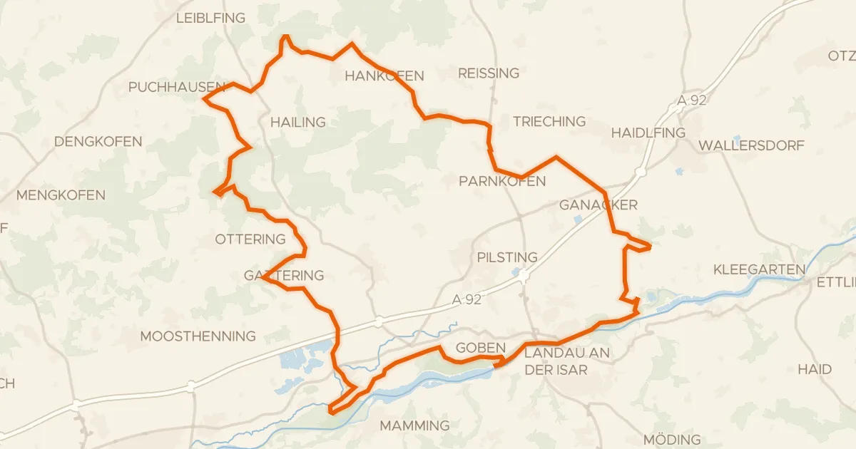
Gravel13% paved
Rondje Isarauen bei Goben en Isar
64 km↑ 477 m13 km away
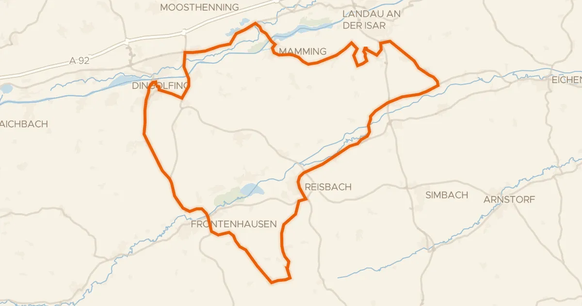
Road bike97% paved
Rondje Rosenau en Vilskanal
73 km↑ 717 m18 km away
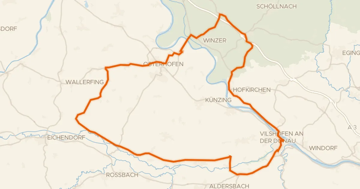
Road bike99% paved
Rondje Burgruine Winzer en Vils-Engtal
72 km↑ 530 m18 km away
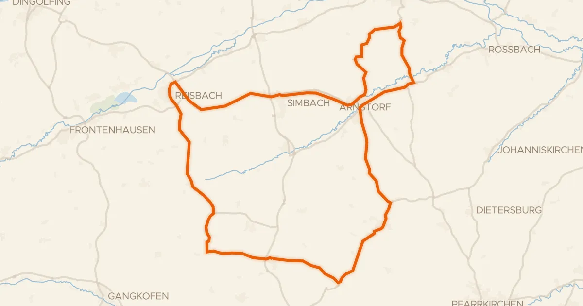
Road bike97% paved
Rondje Schloss Mariakirchen en Kollbach
75 km↑ 833 m19 km away
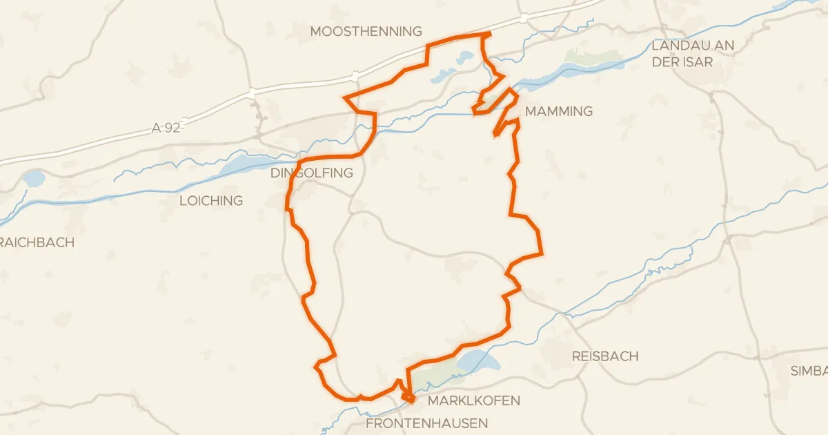
Gravel37% paved
Rondje Schloss Warth en Vilstal bei Marklkofen
57 km↑ 491 m20 km away