Back to the librarykm 16 · May 2026 · © teddy73 / Mapillary, CC BY-SA km 34 · May 2026 · © teddy73 / Mapillary, CC BY-SA km 37 · May 2026 · © teddy73 / Mapillary, CC BY-SA km 70 · Sep 2025 · © teddy73 / Mapillary, CC BY-SA km 19–20km 21–22km 44–45km 48–52
Road bikeRouteCasterRound trip
Rondje Schloss Dagstuhl en Burg Dagstuhl
Distance
71 km
Ascent
927 m
Highest point
444 m
97% paved
Start from your location
Ride there from home: we find the shortest way to the loop and start the loop from there.
The ride
Roll out of Reimsbach and the climbing starts early, on a route of 71.3 km with 927 m of elevation gain. You pass the Bremerkopf bei Steinberg nature reserve, then the Wadrilltal one, before two castles in a row: Burg Dagstuhl and Schloss Dagstuhl. The Primsleite Überlosheim/Auschet reserve and the Saar-Hunsrück follow, with just a sliver of unpaved surface under your wheels. Then it's back to Reimsbach.
Along the way
Climbs
Climb 1Hill
1.1 km at 4.2% · max 9.4%
Climb 2Cat. 4
1.4 km at 5.8% · max 9.6%
Climb 3Hill
1.5 km at 3.5% · max 5.8%
Climb 4Cat. 4
3.8 km at 3.2% · max 11.9%
Routes nearby
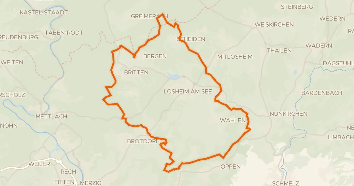
Gravel27% paved
Rondje Die Römerburg en Saarschleife und Leukbachtal
54 km↑ 1,120 m7 km away
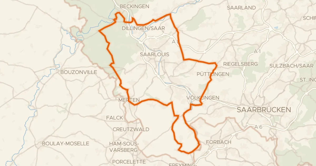
Road bike98% paved
Rondje Ruine Burg Siersberg en Burg Püttlingen
91 km↑ 1,055 m20 km away
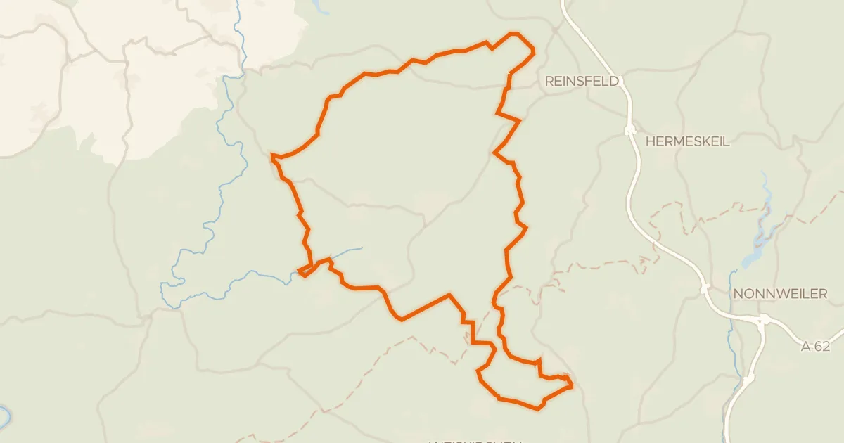
Gravel19% paved
Rondje Wadrilltal en Enterbachtal
57 km↑ 1,206 m20 km away
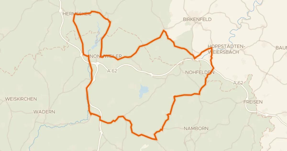
Road bike100% paved
Rondje Moosbruch en Saar-Hunsrück
75 km↑ 1,100 m27 km away
Gravel37% paved
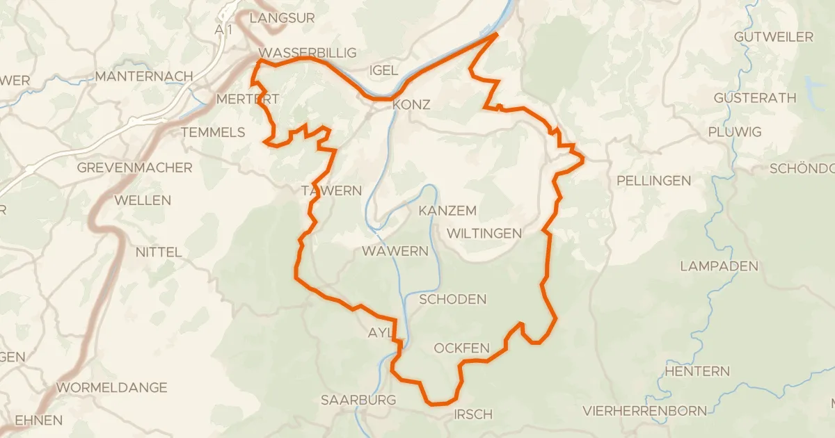
Rondje Perfeist bei Wasserliesch en Saar
61 km↑ 1,339 m27 km away
Road bike99% paved
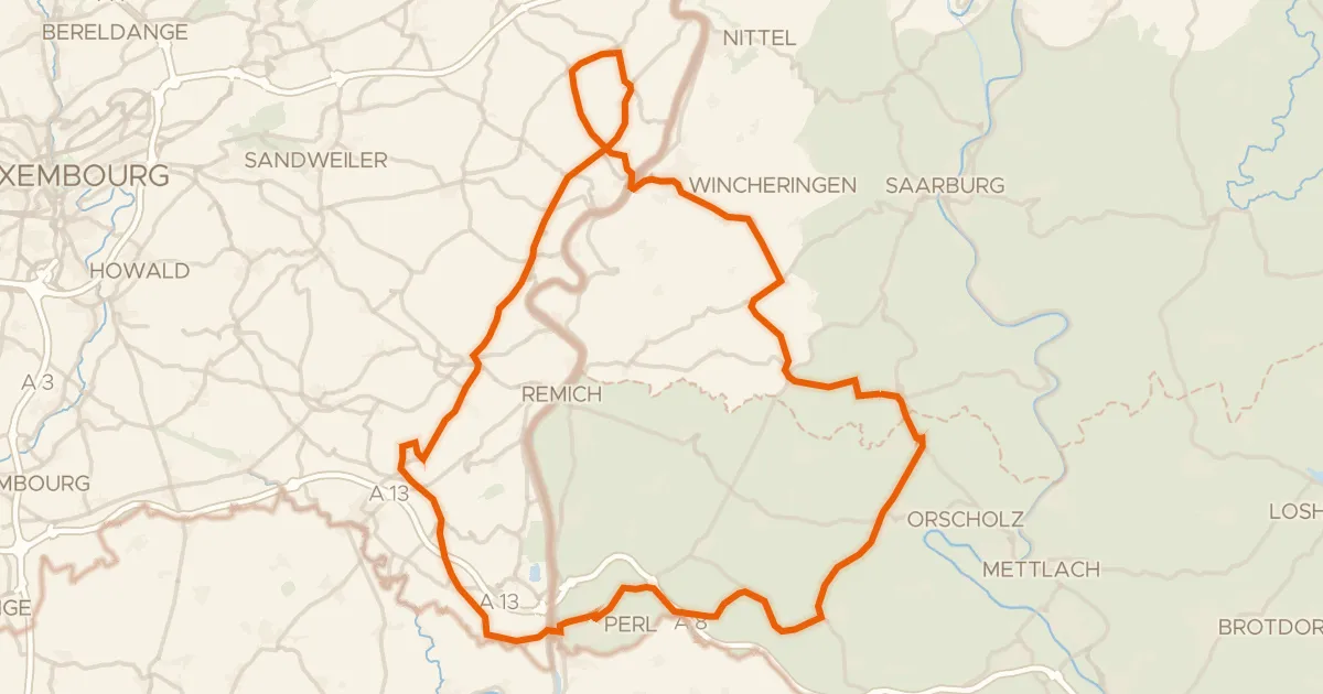
Rondje Château de Schengen en Saarschleife und Leukbachtal
76 km↑ 1,236 m28 km away