Back to the librarykm 24 · May 2026 · © mfa / Mapillary, CC BY-SA km 0–4km 14–18km 25–30km 33–35km 36–40km 45–48km 52–53
Road bikeRouteCasterRound trip
Rondje Schloss Altensteig en Haiterbacher Heckengäu
Distance
67 km
Ascent
1,151 m
Highest point
751 m
100% paved
Start from your location
Ride there from home: we find the shortest way to the loop and start the loop from there.
The ride
Roll out from Parkeerplaats Große Tannen and let the road carry you past Schloss Altensteig, a castle, before the Mindersbacher Tal nature reserve opens up ahead. The Staufen and Waldach- und Haiterbachtal nature reserves follow in turn, then the Haiterbacher Heckengäu, all along 66.9 km of paved surface. With 1151 m of climbing, the route loops back to where you started.
Along the way
Climbs
Climb 1Cat. 4
3.6 km at 3.7% · max 19.6%
Climb 2Cat. 4
4.3 km at 3.3% · max 11.4%
Climb 3Cat. 3
4.2 km at 4.3% · max 11.5%
Climb 4Hill
2.2 km at 3.1% · max 7.1%
Climb 5Cat. 4
4.4 km at 3.5% · max 7.9%
Climb 6Cat. 4
2.6 km at 3.9% · max 11.7%
Climb 7Hill
1.1 km at 5.6% · max 11.1%
Routes nearby
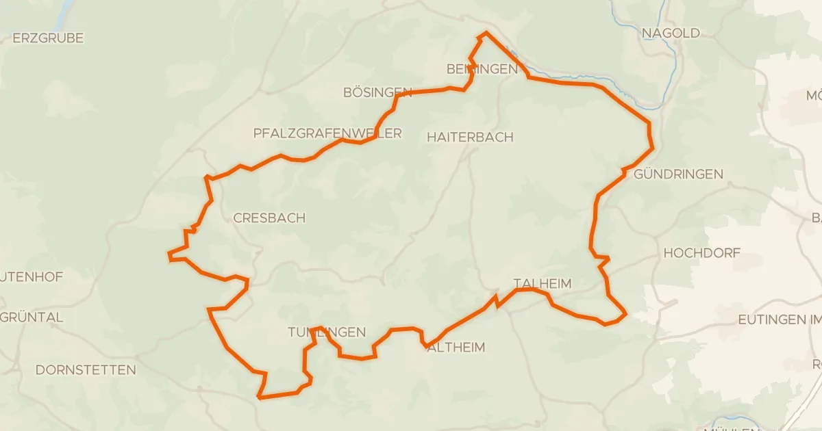
Gravel22% paved
Rondje Ruine Vörbach en Waldach
57 km↑ 1,085 m12 km away
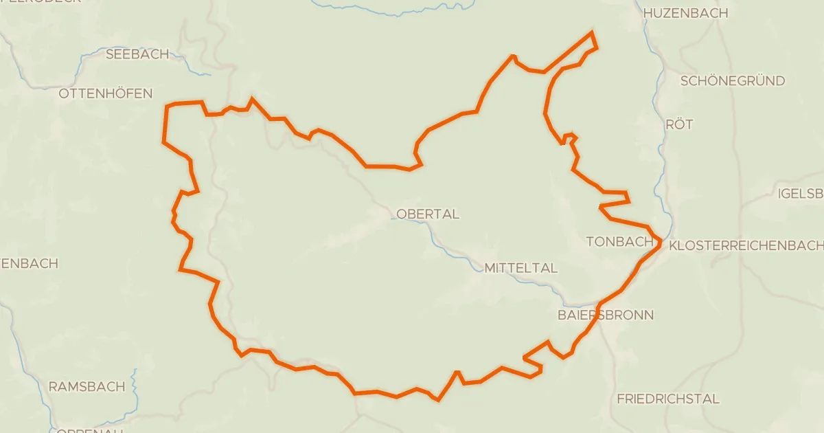
Gravel10% paved
Rondje Kniebis-Alexanderschanze en Wilder See - Hornisgrinde
63 km↑ 1,567 m14 km away
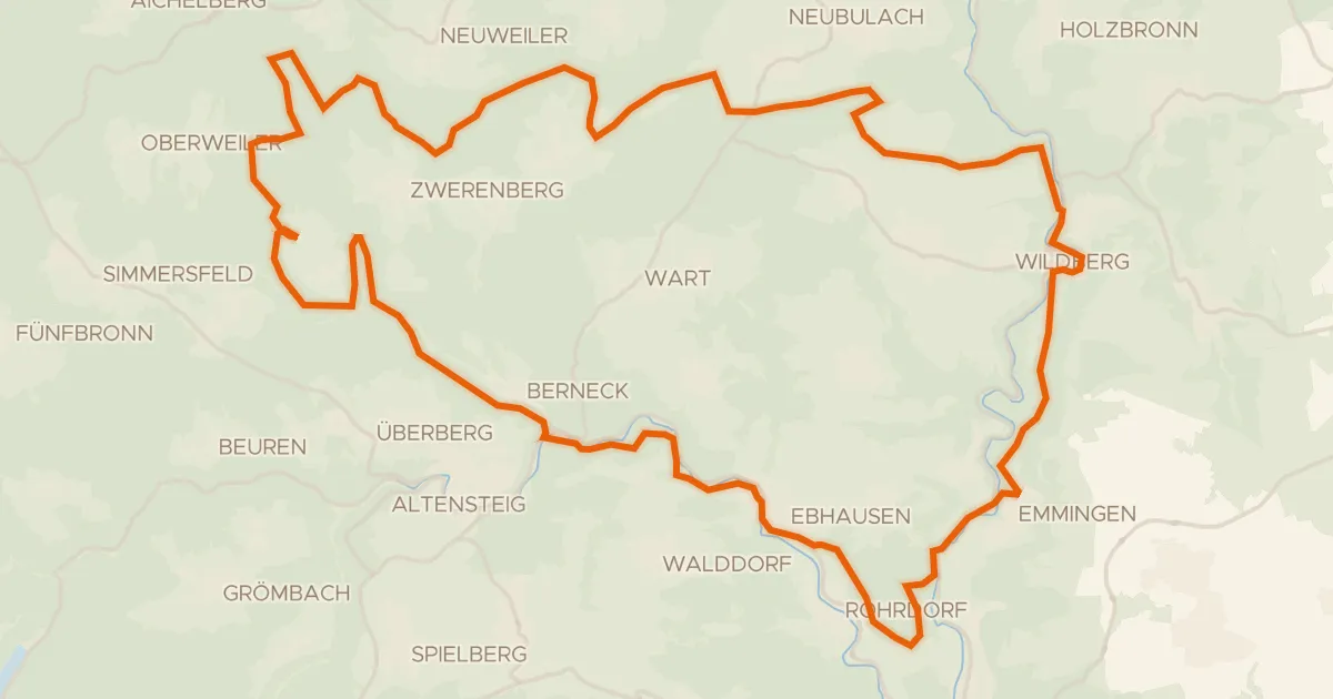
Gravel22% paved
Rondje Burg Hornberg en Nagold
60 km↑ 1,176 m14 km away
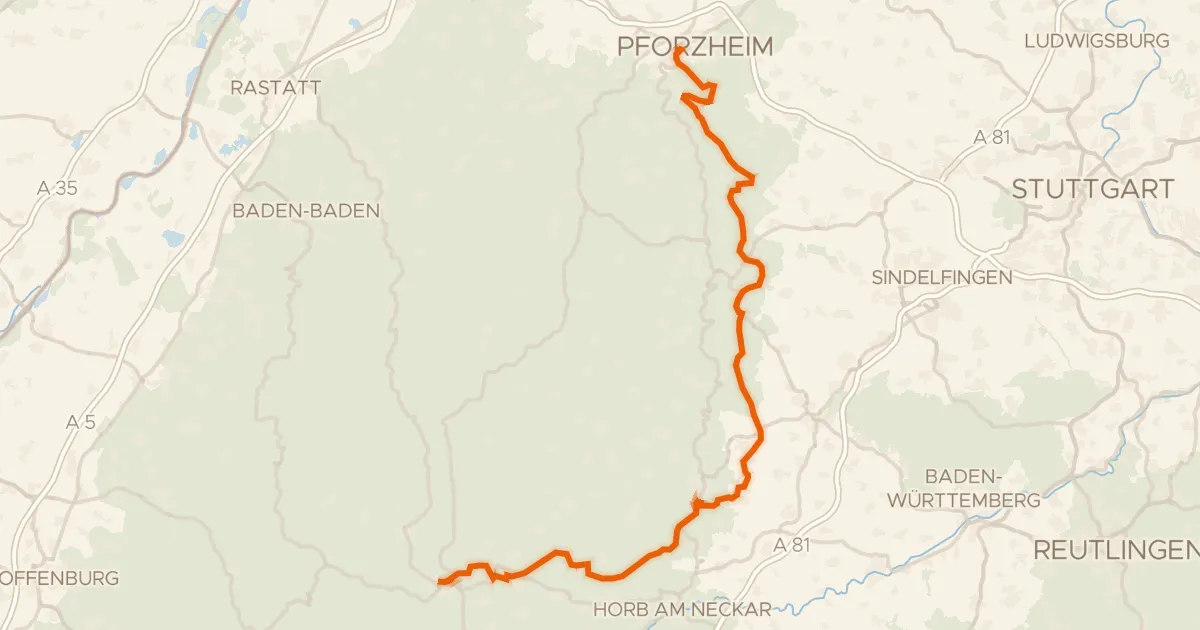
Touring76% paved
Schwarzwälder Höhenradweg Ost
106 km↑ 1,893 m17 km away
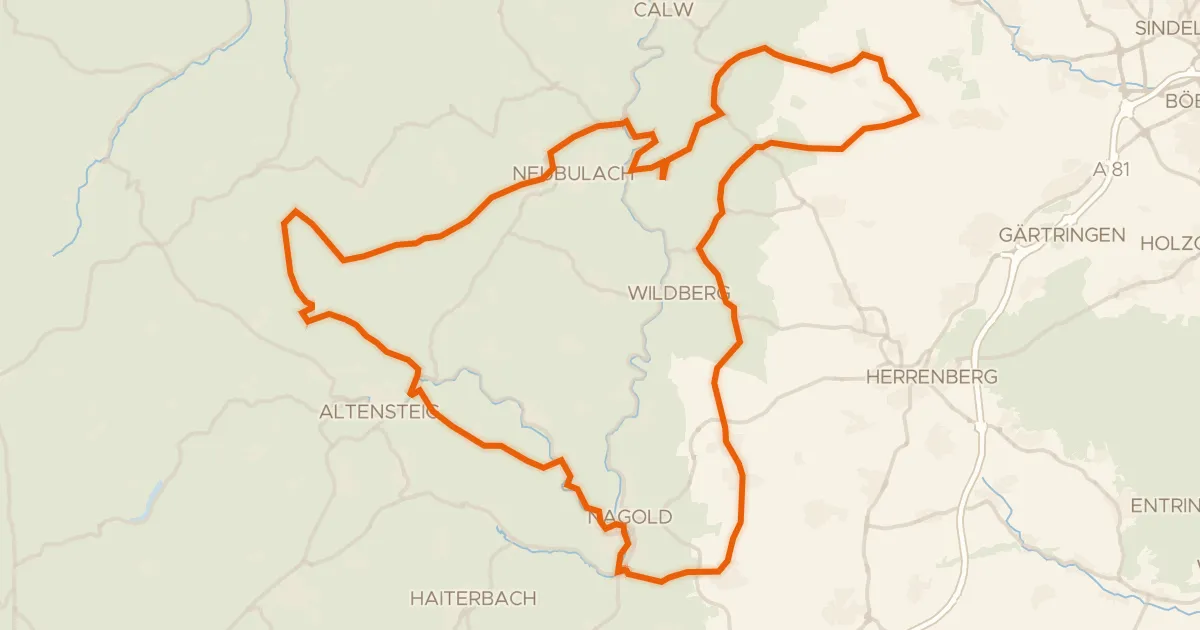
Road bike98% paved
Rondje Burg Hohennagold en Teufels Hirnschale
90 km↑ 1,446 m19 km away
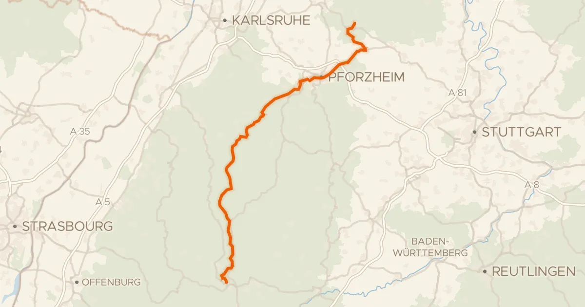
Gravel48% paved
Schwarzwälder Höhenradweg West
102 km↑ 1,685 m23 km away
Schwarzmiss · Weithäusleplatz