Back to the librarykm 0–13km 15–19km 23–23km 31–31km 31–32km 32–32km 32–33km 35–35km 36–38km 38–39km 40–41km 45–54km 57–57km 57–57
Road bikeMade by RouteCasterRound trip
Rondje Posina en Lago Coe
Distance
63 km
Ascent
2,562 m
Highest point
1,780 m
100% paved
Start from your location
Ride there from home: we find the shortest way to the loop and start the loop from there.
The ride
This ride rolls out of Piazza and back again over 62.7 km, all of it paved. On the way you pass Lago Coe, a lake, then follow the Posina, a river, before reaching Laghetto Main, another lake. With 2562 m of climbing packed into the loop, the road keeps tilting upward between the water and the valley. Piazza waits at the end, right where you started.
Climbs
Passo CoeHC
12.9 km at 6.4% · max 42.3%
Forcella ValbonaCat. 3
4.1 km at 5.9% · max 17.3%
Passo della Vena di SopraHill
0.4 km at 7.9% · max 15.2%
Climb 4Hill
0.1 km at 30.2% · max 30.2%
Climb 5Hill
0.2 km at 23.8% · max 47.3%
Climb 6Hill
0.3 km at 16.9% · max 27.2%
Climb 7Hill
0.1 km at 26.1% · max 26.1%
Climb 8Hill
0.2 km at 35.7% · max 68.1%
Climb 9Cat. 4
1.3 km at 7.1% · max 16%
Climb 10Hill
0.7 km at 7.7% · max 13%
Climb 11Hill
0.9 km at 3.3% · max 6.9%
Passo della BorcolaCat. 1
8.5 km at 8.5% · max 43.5%
Climb 13Hill
0.1 km at 39.7% · max 39.7%
Climb 14Hill
0.3 km at 9.6% · max 14.1%
Routes nearby

Road bike99% paved
Rondje Castel Drena en Lago di Cei
74 km↑ 2,684 m17 km away
Road bike99% paved
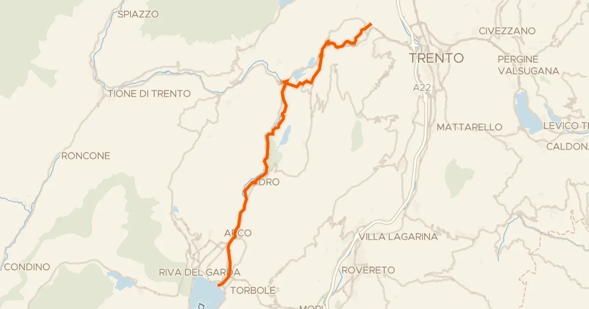
Ciclovia dei laghi
41 km↑ 424 m19 km away

Gravel28% paved
Rondje Castel Pergine en Lago di Madrano
64 km↑ 3,018 m30 km away

Road bike100% paved
Rondje Castello del Buonconsiglio en Laghestel
65 km↑ 1,485 m30 km away

Gravel38% paved
Rondje Lago di Santa Colomba en Castello di Monreale
61 km↑ 2,715 m31 km away
Touring86% paved
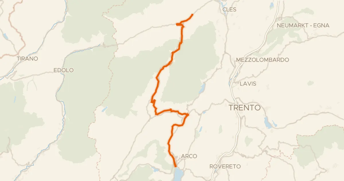
DOGA - Dolomiti Garda - Standard Route
112 km↑ 3,087 m37 km away
Passo Daone · Passo Del Ballino