Back to the librarykm 2–3km 4–10km 14–17km 20–21km 21–21km 23–31km 34–36km 36–37km 39–39km 40–40km 42–42km 42–44km 44–45km 45–46km 46–47km 62–63
GravelMade by RouteCasterRound trip
Rondje Castel Pergine en Lago di Madrano
Distance
64 km
Ascent
3,018 m
Highest point
1,646 m
28% paved
Start from your location
Ride there from home: we find the shortest way to the loop and start the loop from there.
The ride
From Pergine Valsugana you roll out past the Lago Pudro nature reserve, then on to Lago di Madrano. The route climbs through the Laghestel nature reserve before reaching Lago di Lases, with 3018 m of elevation gain along the way. Two castles close the loop: Castello di Pergine and Castel Pergine, before you return to where you started.
Climbs
Climb 1Hill
1.5 km at 4.9% · max 10.4%
Climb 2Cat. 2
6.5 km at 7.1% · max 42.6%
Climb 3Cat. 2
3.9 km at 9.7% · max 32%
Climb 4Hill
0.3 km at 11.1% · max 12.5%
Climb 5Hill
0.2 km at 25.6% · max 50.6%
Climb 6Cat. 1
8 km at 9.9% · max 43.4%
Climb 7Cat. 3
1.7 km at 18.3% · max 36.1%
Climb 8Cat. 3
1.2 km at 20.1% · max 36.5%
Climb 9Hill
0.7 km at 5.2% · max 25.4%
Climb 10Hill
0.6 km at 8.6% · max 22.5%
Climb 11Hill
0.3 km at 12% · max 15.7%
Climb 12Cat. 3
1.8 km at 10.8% · max 28.5%
Climb 13Hill
0.4 km at 10.7% · max 14.3%
Climb 14Hill
0.7 km at 4.3% · max 9.7%
Climb 15Hill
0.9 km at 5.3% · max 10.4%
Climb 16Hill
0.7 km at 8.1% · max 15.7%
Routes nearby

Road bike100% paved
Rondje Castello del Buonconsiglio en Laghestel
65 km↑ 1,485 m9 km away

Gravel38% paved
Rondje Lago di Santa Colomba en Castello di Monreale
61 km↑ 2,715 m12 km away

Road bike99% paved
Rondje Castel Drena en Lago di Cei
74 km↑ 2,684 m22 km away
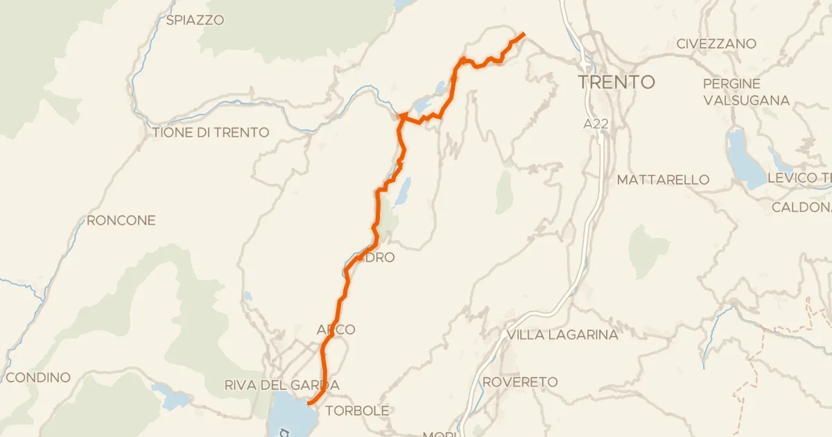
Road bike99% paved
Ciclovia dei laghi
41 km↑ 424 m23 km away

Road bike100% paved
Rondje Posina en Lago Coe
63 km↑ 2,562 m24 km away
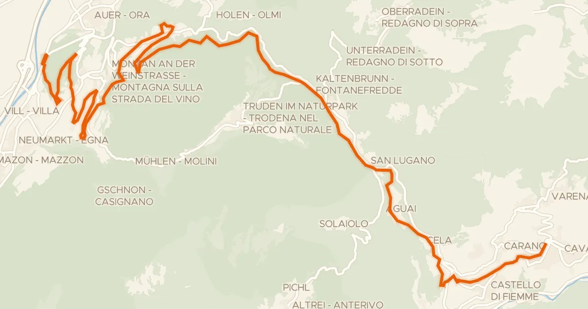
Gravel43% paved
Ehemalige Fleimstalbahn - ex Ferrovia della Val di Fiemme
33 km↑ 1,251 m30 km away
Passo di San Lugano - San-Lugano-Sattel