Back to the librarykm 16–17km 18–19km 49–53km 55–55km 57–65
Road bikeMade by RouteCasterRound trip
Rondje Castello del Buonconsiglio en Laghestel
Distance
65 km
Ascent
1,485 m
Highest point
1,210 m
100% paved
Start from your location
Ride there from home: we find the shortest way to the loop and start the loop from there.
The ride
From Bedollo the road rolls out to Lago di Piazze, then on past Laghestel, a nature reserve, and up to the fort at Tagliata stradale superiore Civezzano. The route follows the Torrente Fersina onward to Castello del Buonconsiglio, a castle, and Palazzo Trautmannsdorf, another castle, before the Torrente Avisio leads you home. All 65.3 km are paved, with 1485 m of climbing along the way.
Climbs
Climb 1Hill
1 km at 3.7% · max 14.9%
Climb 2Hill
0.9 km at 8.2% · max 16.2%
Climb 3Cat. 3
3.8 km at 4.7% · max 19.4%
Climb 4Hill
0.5 km at 7.1% · max 10.1%
Climb 5Cat. 2
8.6 km at 4.9% · max 24.3%
Routes nearby

Gravel28% paved
Rondje Castel Pergine en Lago di Madrano
64 km↑ 3,018 m5 km away

Gravel38% paved
Rondje Lago di Santa Colomba en Castello di Monreale
61 km↑ 2,715 m10 km away
Gravel43% paved
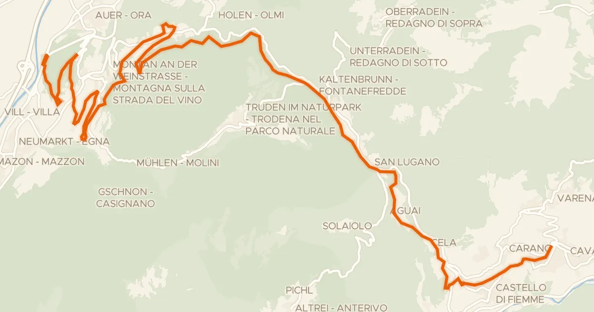
Ehemalige Fleimstalbahn - ex Ferrovia della Val di Fiemme
33 km↑ 1,251 m17 km away
Passo di San Lugano - San-Lugano-Sattel

Road bike99% paved
Rondje Castel Drena en Lago di Cei
74 km↑ 2,684 m32 km away
Road bike99% paved
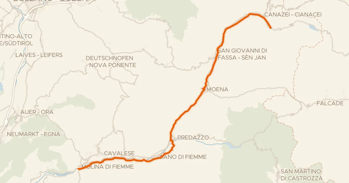
Ciclovia delle Valli di Fiemme e Fassa
48 km↑ 1,001 m33 km away
Road bike99% paved
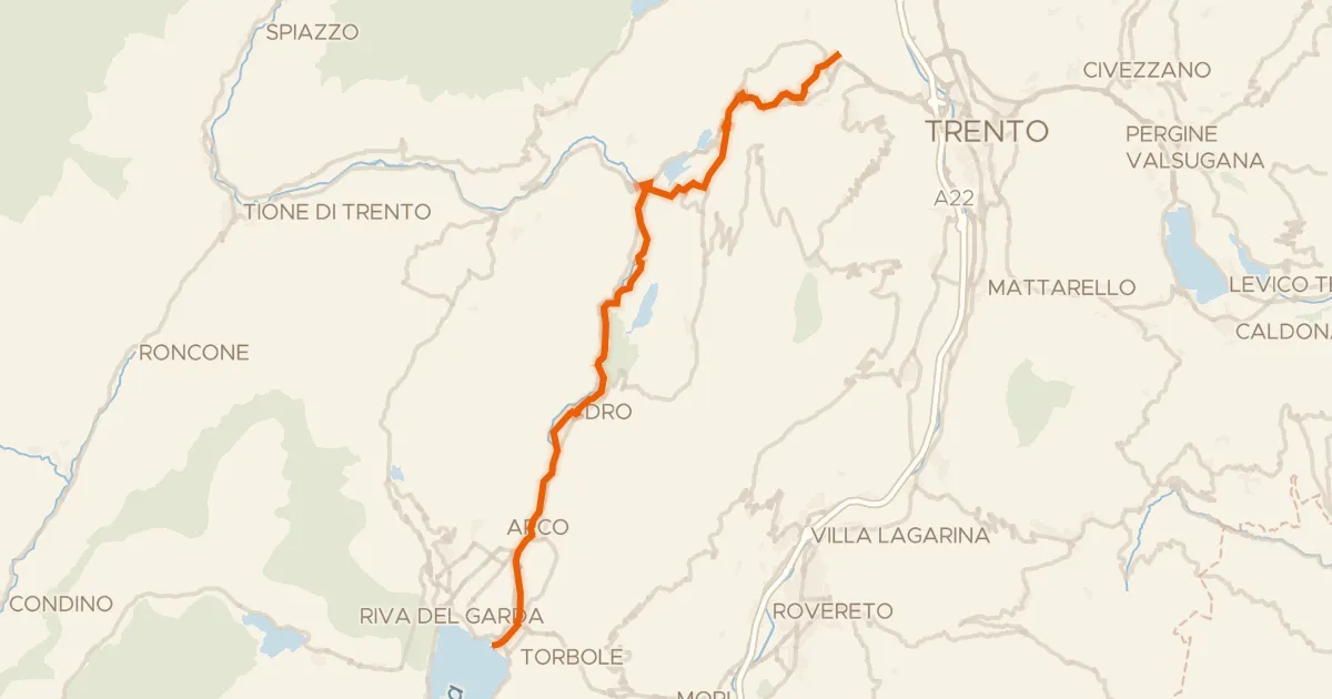
Ciclovia dei laghi
41 km↑ 424 m33 km away