Back to the librarykm 0–13km 15–16km 20–26km 50–51
GravelMade by RouteCasterRound trip
Rondje Parco naturale regionale delle Alpi Apuane en Serchio
Distance
60 km
Ascent
1,521 m
Highest point
590 m
58% paved
Start from your location
Ride there from home: we find the shortest way to the loop and start the loop from there.
The ride
This 60.1 km loop rolls out of Roncato and climbs for 1521 m, mixing paved and unpaved riding along the way. You pass the Parco naturale regionale delle Alpi Apuane, a nature reserve, before following the Serchio river. With 42% of the route unpaved, there's a good share of gravel under your wheels. Then it's back to Roncato to close the loop.
Climbs
Climb 1Cat. 2
12.8 km at 3.9% · max 32.5%
Climb 2Hill
0.8 km at 5.3% · max 11%
Climb 3Cat. 3
5.5 km at 4.4% · max 26.4%
Climb 4Hill
1 km at 7.6% · max 21.2%
Routes nearby

Road bike99% paved
Rondje Baluardo San Donato en Serchio
73 km↑ 1,281 m10 km away
Road bike100% paved
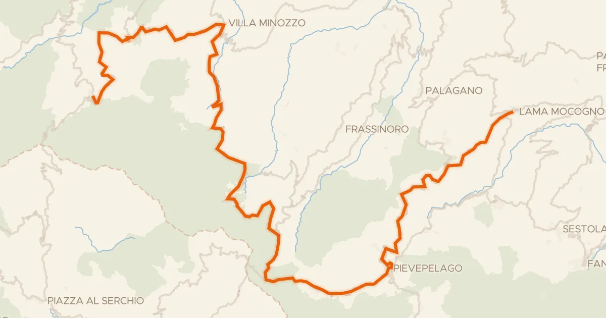
ABT Tappa 7: Ventasso (Ligonchio) - Lama Mocogno
97 km↑ 2,719 m35 km away

Gravel34% paved
Langs de Arno en de Fiume Elsa
61 km↑ 1,061 m39 km away
Road bike100% paved
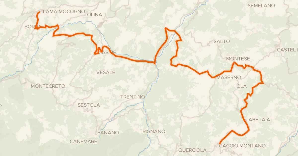
ABT Tappa 8: Lama Mocogno - Gaggio Montano
57 km↑ 1,300 m43 km away
Road bike100% paved
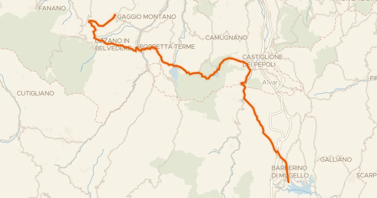
ABT Tappa 9: Gaggio Montano - Barberino del Mugello
72 km↑ 1,866 m47 km away
Valico della Crocetta

Gravel32% paved
Rondje Castello di Bombiana en Reno
59 km↑ 2,447 m52 km away