Back to the librarykm 0–4km 13–20km 24–25km 29–30km 34–34
Road bikeMade by RouteCasterRound trip
Rondje Baluardo San Donato en Serchio
Distance
73 km
Ascent
1,281 m
Highest point
453 m
99% paved
Start from your location
Ride there from home: we find the shortest way to the loop and start the loop from there.
The ride
This ride rolls out of Massarosa and back again, covering 73.4 km with 1281 m of climbing along the way. You follow the Serchio river, then pass the fort Baluardo San Paolino before reaching the fort Baluardo San Donato. The route is 99% paved, so the surface stays consistent under your wheels from start to finish. Spin out of the village, tick off the river and the two forts, and roll home to Massarosa.
Climbs
Climb 1Cat. 3
4.3 km at 5.3% · max 22.4%
Climb 2Cat. 2
7.3 km at 5% · max 28.3%
Climb 3Cat. 4
1.2 km at 8.3% · max 24.8%
Climb 4Cat. 4
1.2 km at 7.5% · max 24.7%
Climb 5Hill
0.2 km at 14.3% · max 17.3%
Routes nearby

Gravel58% paved
Rondje Parco naturale regionale delle Alpi Apuane en Serchio
60 km↑ 1,521 m10 km away

Gravel34% paved
Langs de Arno en de Fiume Elsa
61 km↑ 1,061 m47 km away
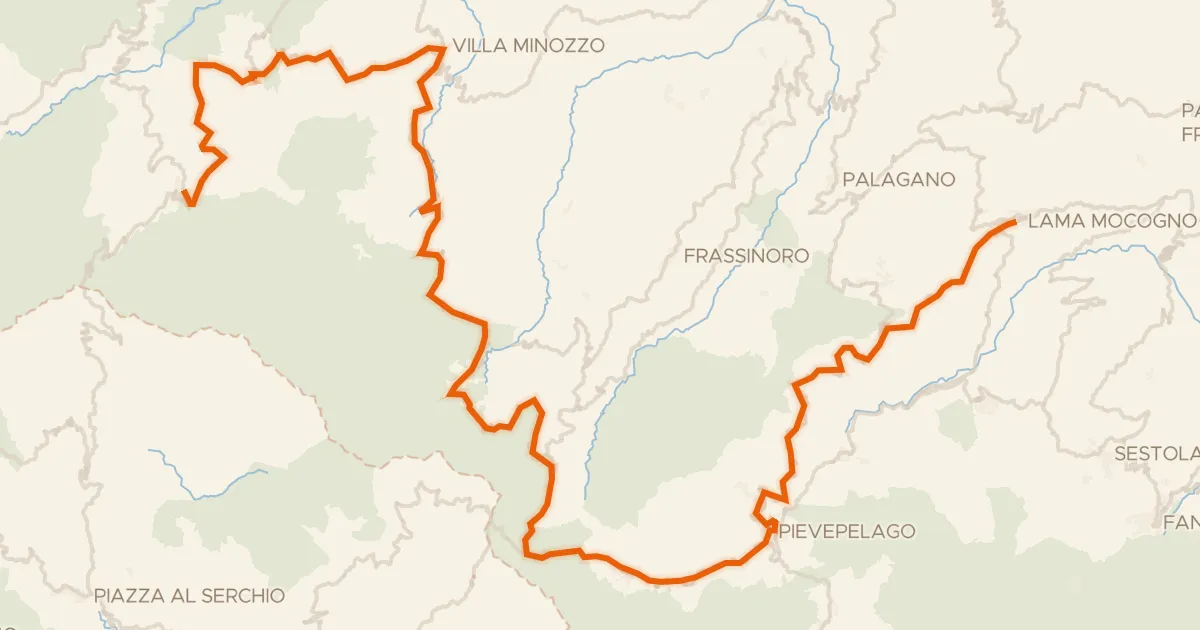
Road bike100% paved
ABT Tappa 7: Ventasso (Ligonchio) - Lama Mocogno
97 km↑ 2,719 m48 km away
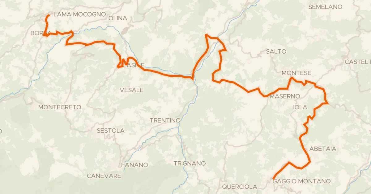
Road bike100% paved
ABT Tappa 8: Lama Mocogno - Gaggio Montano
57 km↑ 1,300 m59 km away
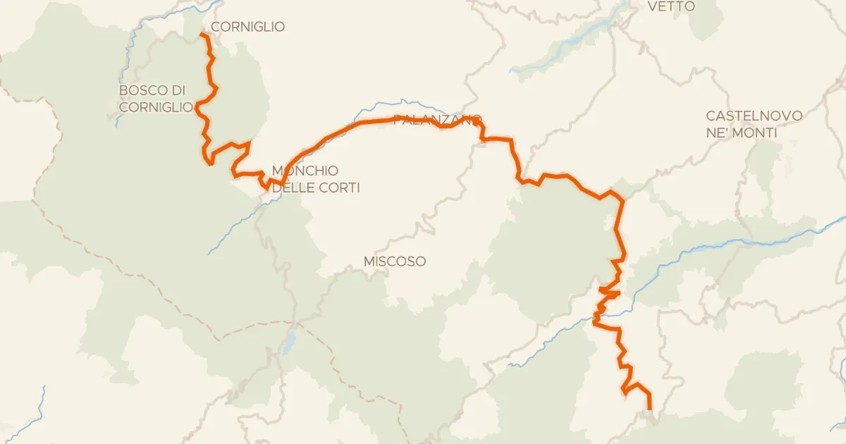
Road bike100% paved
ABT Tappa 6: Corniglio - Ventasso (Ligonchio)
67 km↑ 2,207 m59 km away
Passo Ferrarino · Passo del Ticchiano
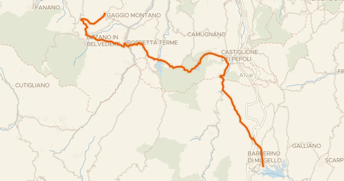
Road bike100% paved
ABT Tappa 9: Gaggio Montano - Barberino del Mugello
72 km↑ 1,866 m63 km away
Valico della Crocetta