Back to the librarykm 0–6km 11–11km 21–23km 30–38km 40–40km 40–41km 45–46km 46–47km 48–48km 49–51km 51–53km 53–54
GravelMade by RouteCasterRound trip
Rondje Castello di Bombiana en Reno
Distance
59 km
Ascent
2,447 m
Highest point
873 m
32% paved
Start from your location
Ride there from home: we find the shortest way to the loop and start the loop from there.
The ride
From Silla you roll out and soon meet the Reno river, then follow the Torrente Limentra Orientale as the road climbs. Along the way the Castello di Bombiana castle marks the route before you head back to Silla. Of the 58.6 km, most run unpaved, and the climbing adds up to 2447 m of elevation gain.
Climbs
Climb 1Cat. 2
6 km at 6.9% · max 23.2%
Climb 2Hill
0.6 km at 8.1% · max 11.2%
Climb 3Cat. 2
2.6 km at 12.7% · max 21.6%
Climb 4Cat. 2
8.2 km at 6.8% · max 26.7%
Climb 5Hill
0.4 km at 12% · max 17.2%
Climb 6Cat. 3
1 km at 19.8% · max 33.9%
Climb 7Cat. 4
0.6 km at 18.8% · max 27.5%
Climb 8Cat. 3
0.9 km at 18.2% · max 35.5%
Climb 9Hill
0.3 km at 12.6% · max 19.6%
Climb 10Cat. 4
1.5 km at 7.7% · max 24.4%
Climb 11Cat. 4
1.2 km at 10.3% · max 20.2%
Climb 12Hill
0.9 km at 4% · max 8.4%
Routes nearby
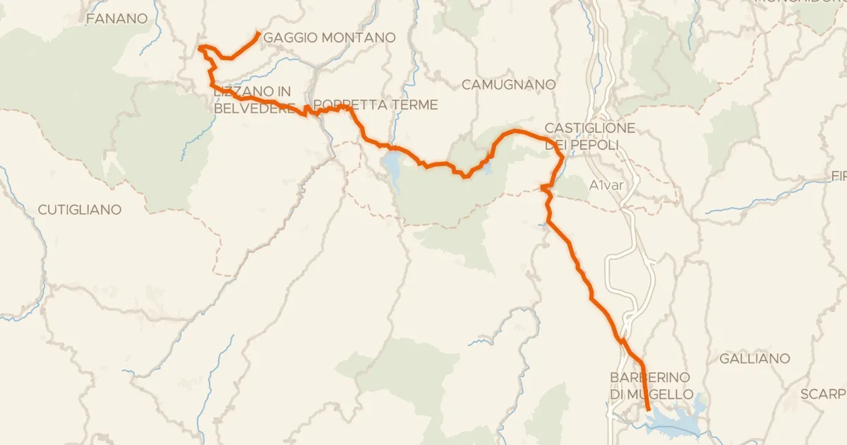
Road bike100% paved
ABT Tappa 9: Gaggio Montano - Barberino del Mugello
72 km↑ 1,866 m12 km away
Valico della Crocetta
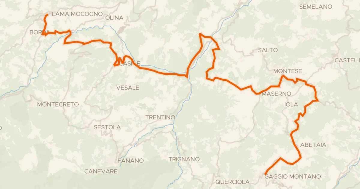
Road bike100% paved
ABT Tappa 8: Lama Mocogno - Gaggio Montano
57 km↑ 1,300 m13 km away

Gravel46% paved
Rondje Castello di Semese en Panaro
56 km↑ 2,206 m19 km away

Road bike99% paved
Rondje Castello di Montasico en Monte Adone
74 km↑ 2,099 m25 km away
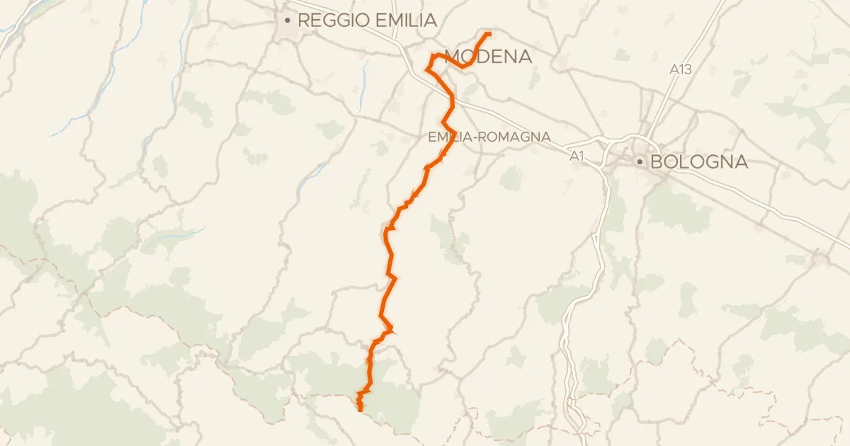
Touring90% paved
Via Romea Nonantolana Occidentale
110 km↑ 3,139 m25 km away
Passo di Croce Arcana
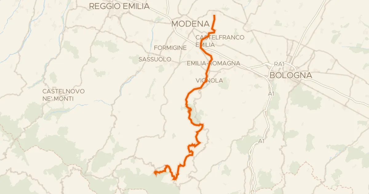
Touring80% paved
Via Romea Nonantolana Orientale
116 km↑ 2,512 m28 km away
Valico Masera