Back to the librarykm 29–30km 55–55km 56–57
GravelMade by RouteCasterRound trip
Rondje Parc naturel régional Normandie-Maine en La Gourbe
Distance
64 km
Ascent
559 m
Highest point
321 m
34% paved
Start from your location
Ride there from home: we find the shortest way to the loop and start the loop from there.
The ride
Roll out of Bagnoles-de-l'Orne and let the route carry you past La Maure, a river that sets the tone early. Then it's into the Parc naturel régional Normandie-Maine, a nature reserve that fills a good stretch of the ride. On the way back you follow La Gourbe and La Vée, two more rivers, before rolling home to the start village. With 63.5 km and a mix of paved and unpaved surface, it's a route that keeps you guessing.
Climbs
Climb 1Hill
1.1 km at 4.2% · max 8.6%
Climb 2Hill
0.6 km at 5.8% · max 6.8%
Climb 3Hill
1 km at 4.5% · max 14.2%
Routes nearby

Gravel45% paved
Rondje Château de Rânes en La Rouvre
59 km↑ 537 m10 km away

Road bike97% paved
Rondje Château de Montfléaux en La Mayenne
70 km↑ 578 m30 km away
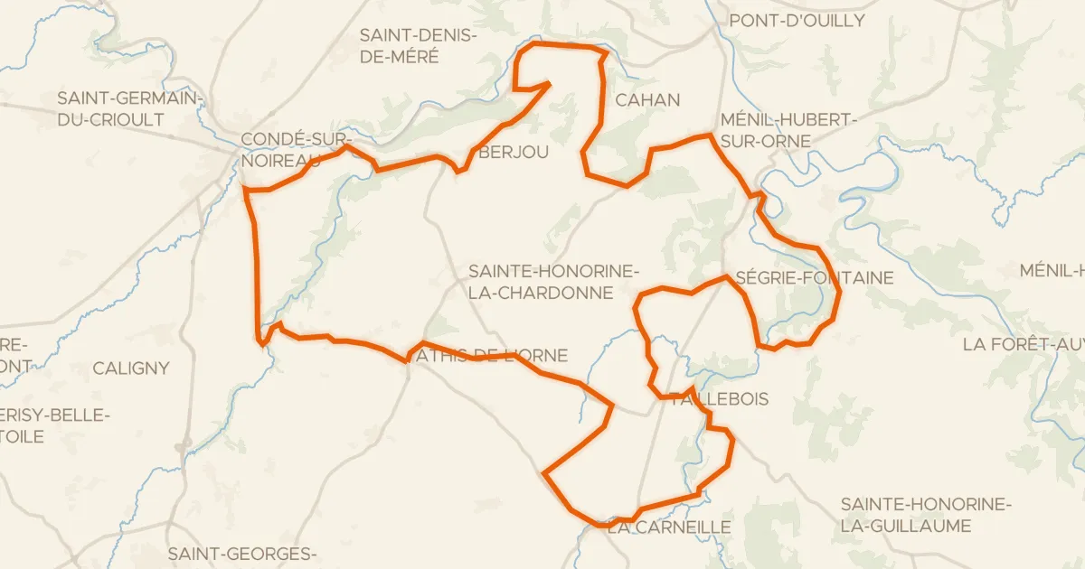
Road bike100% paved
L'Orne à Vélo : Athis-de-l'Orne
57 km↑ 891 m30 km away
Col de Berjou

Road bike97% paved
Rondje Château Ganne en La Rouvre
74 km↑ 1,134 m33 km away

Road bike100% paved
Rondje Manoir de l'Echenay en Le Sarthon
69 km↑ 591 m33 km away

Road bike100% paved
Rondje Château de Goué en La Sélune
76 km↑ 660 m34 km away