Back to the librarykm 24–28km 34–39km 50–53km 66–67km 70–71
Road bikeMade by RouteCasterRound trip
Rondje Château Ganne en La Rouvre
Distance
74 km
Ascent
1,134 m
Highest point
291 m
97% paved
Start from your location
Ride there from home: we find the shortest way to the loop and start the loop from there.
The ride
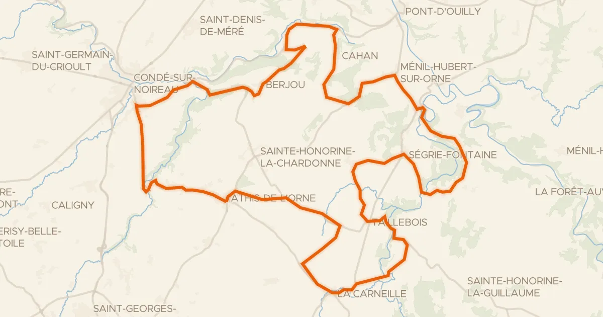
Roll out of Saint-Georges-des-Groseillers and let the ride carry you past the river La Druance, then up to Château Ganne with its castle. On you go past the L'Orne, the Le Noireau and the Rouvre rivers, each one ticking off another stretch of the 73.7 km loop. With 1134 m of climbing spread across the day, the legs get a proper workout before the road brings you home.
Climbs
Climb 1Cat. 3
4.3 km at 4.3% · max 14.5%
Climb 2Cat. 3
5.1 km at 5% · max 19.2%
Climb 3Cat. 4
3 km at 4.2% · max 12.5%
Climb 4Hill
0.8 km at 3.6% · max 7%
Climb 5Hill
1.4 km at 3.2% · max 7.2%
Routes nearby
Road bike100% paved
L'Orne à Vélo : Athis-de-l'Orne
57 km↑ 891 m10 km away
Col de Berjou

Gravel64% paved
Rondje Le Tortillon en La Druance
46 km↑ 526 m12 km away

Road bike99% paved
Rondje La Vire en La Souleuvre
74 km↑ 782 m19 km away

Gravel27% paved
Langs La Cance en La Sée
63 km↑ 715 m26 km away

Gravel34% paved
Rondje Parc naturel régional Normandie-Maine en La Gourbe
64 km↑ 559 m26 km away

Road bike98% paved
Rondje Château de la Fresnaye en Lac de Rabodanges
70 km↑ 884 m26 km away