Back to the librarykm 3–5km 9–10km 32–33km 37–38km 39–40km 44–45
GravelMade by RouteCasterRound trip
Rondje Le Tortillon en La Druance
Distance
46 km
Ascent
526 m
Highest point
239 m
64% paved
Start from your location
Ride there from home: we find the shortest way to the loop and start the loop from there.
The ride
This ride sets off from Vassy and rolls out to meet the Le Tortillon river, then follows the water on to La Druance. With 46.1 km under the wheels, you get a mix of paved and unpaved going and 526 m of climbing along the way. It's a loop that brings you back to where you started in Vassy.
Climbs
Climb 1Hill
1.4 km at 3.4% · max 7.2%
Climb 2Hill
0.7 km at 4.2% · max 12.1%
Climb 3Hill
0.7 km at 4.1% · max 5.6%
Climb 4Hill
1.2 km at 3% · max 9%
Climb 5Hill
0.4 km at 9.6% · max 14.1%
Climb 6Hill
0.6 km at 5.2% · max 9.2%
Routes nearby

Road bike99% paved
Rondje La Vire en La Souleuvre
74 km↑ 782 m8 km away

Road bike97% paved
Rondje Château Ganne en La Rouvre
74 km↑ 1,134 m13 km away
Road bike100% paved
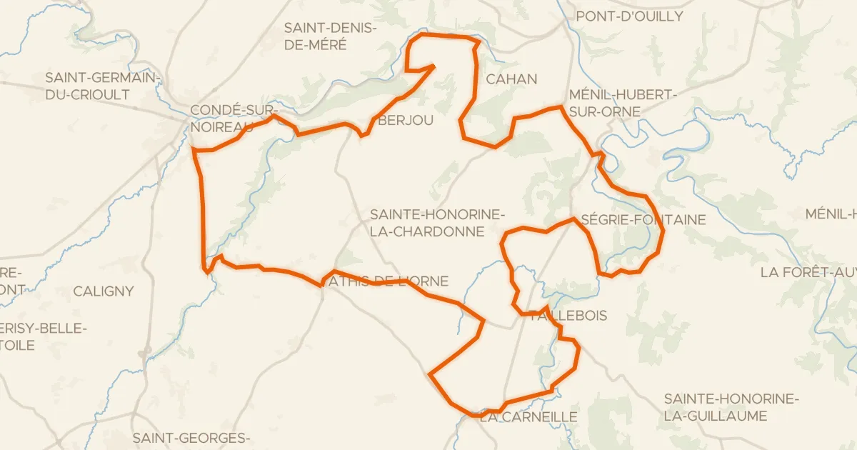
L'Orne à Vélo : Athis-de-l'Orne
57 km↑ 891 m16 km away
Col de Berjou

Road bike100% paved
Rondje Château des Matignon en La Souleuvre
81 km↑ 951 m21 km away

Road bike99% paved
Rondje La Sée en La Vire
75 km↑ 840 m22 km away

Gravel27% paved
Langs La Cance en La Sée
63 km↑ 715 m26 km away