Back to the librarykm 11–11km 12–13km 15–16km 16–18km 21–28km 35–35km 36–36km 36–44km 46–48km 49–50km 53–54km 61–67km 71–71km 71–73km 76–77
GravelMade by RouteCasterRound trip
Rondje Parc Ela en Albula
Distance
77 km
Ascent
3,690 m
Highest point
1,818 m
24% paved
Start from your location
Ride there from home: we find the shortest way to the loop and start the loop from there.
The ride
From Thusis the route follows the Albula and Hinterrhein rivers before the castles begin: Unteres Schloss, Schloss Schauenstein and Burg Hochjuvalt. After the Rabiosa river comes Parc Ela nature reserve, then the way turns home. Of the 77.3 km, most run unpaved, with 3690 m of climbing along the way.
Climbs
Climb 1Cat. 4
0.8 km at 11.1% · max 33.2%
Climb 2Hill
1.2 km at 3.6% · max 15.1%
Climb 3Hill
0.9 km at 6.5% · max 21.7%
Climb 4Cat. 4
1.5 km at 5.7% · max 21.3%
Climb 5HC
7 km at 17.6% · max 78.6%
Climb 6Hill
0.4 km at 12.2% · max 31.1%
Climb 7Hill
0.1 km at 30.5% · max 30.5%
Climb 8Cat. 1
7.8 km at 9% · max 34.2%
Climb 9Cat. 4
1.8 km at 6.7% · max 14.7%
Climb 10Hill
1.1 km at 5.1% · max 14.2%
Climb 11Hill
1 km at 3.7% · max 7.3%
Climb 12Cat. 2
6.3 km at 9.2% · max 49.5%
Climb 13Hill
0.3 km at 23.7% · max 36.1%
Climb 14Cat. 4
1.2 km at 9.5% · max 31.8%
Climb 15Hill
1.5 km at 3.1% · max 13.7%
Routes nearby
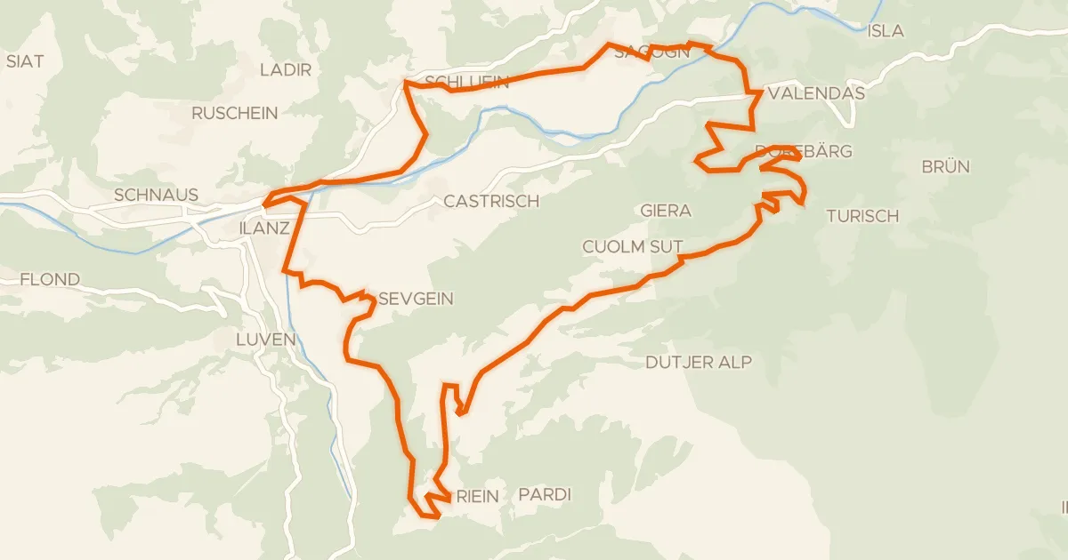
Touring80% paved
Rundtour über den Rhein
30 km↑ 1,230 m17 km away

Gravel25% paved
Rondje Schloss Haldenstein en Tamina
52 km↑ 2,276 m22 km away
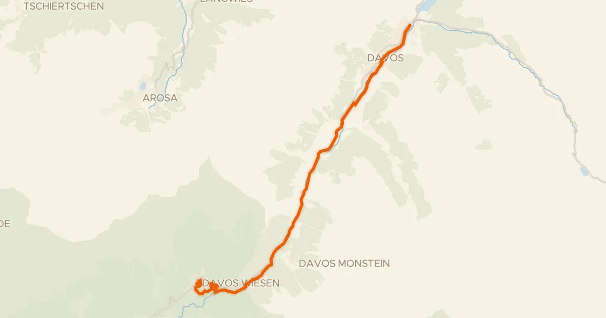
Touring72% paved
Davos
20 km↑ 535 m27 km away

Gravel17% paved
Langs de Landquart en de Rhein
59 km↑ 2,492 m30 km away
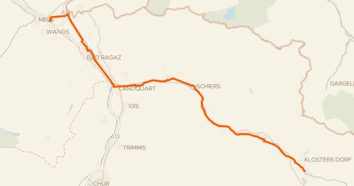
Touring70% paved
Prättigauer Route
48 km↑ 244 m34 km away
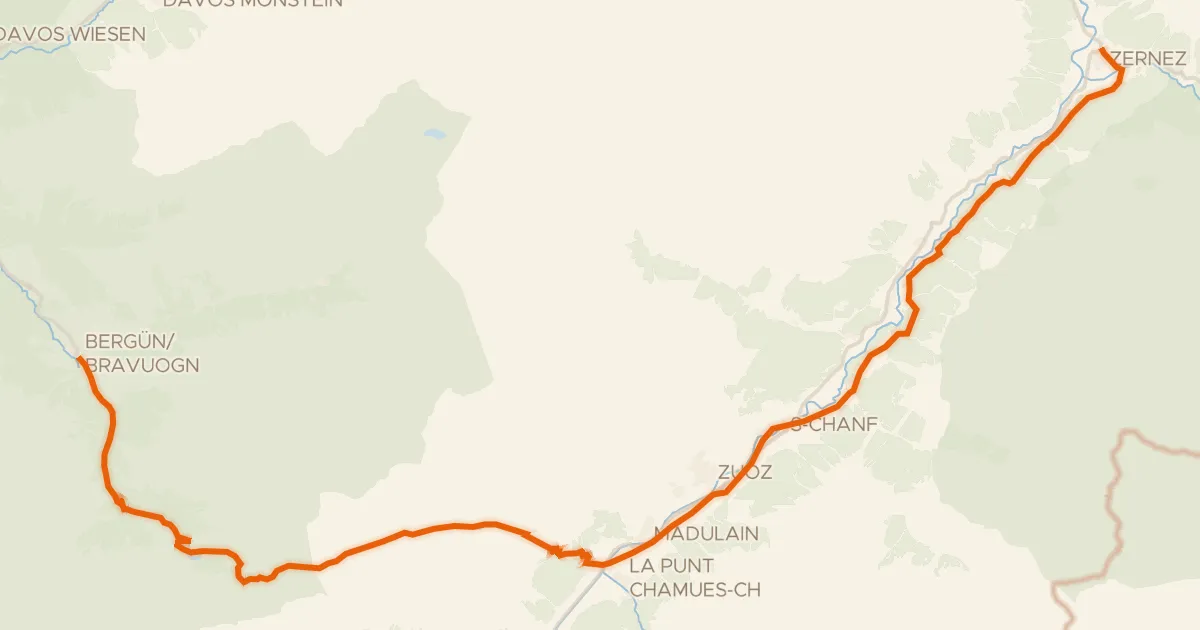
Touring73% paved
Graubünden-Route
45 km↑ 1,488 m38 km away
Albulapass