Back to the librarykm 1–3km 3–18km 20–22km 25–27
GravelMade by RouteCasterRound trip
Langs de Landquart en de Rhein
Distance
59 km
Ascent
2,492 m
Highest point
2,081 m
17% paved
Start from your location
Ride there from home: we find the shortest way to the loop and start the loop from there.
The ride
From Schiers you roll out toward the Landquart river, then follow the Rhein as the route climbs and dips its way through 2492 m of elevation gain. Along the way you pass the castle ruin Burgruine Fracstein before the loop brings you back to Schiers. Of the 58.5 km, most run unpaved, so expect a mix of surfaces under your wheels.
Climbs
Climb 1Cat. 3
2 km at 9.9% · max 47.4%
Climb 2HC
15.1 km at 8.2% · max 50.2%
Climb 3Cat. 3
1.6 km at 13.6% · max 32%
Zanutscher BodenCat. 2
2.4 km at 14.4% · max 40.1%
Routes nearby
Touring70% paved
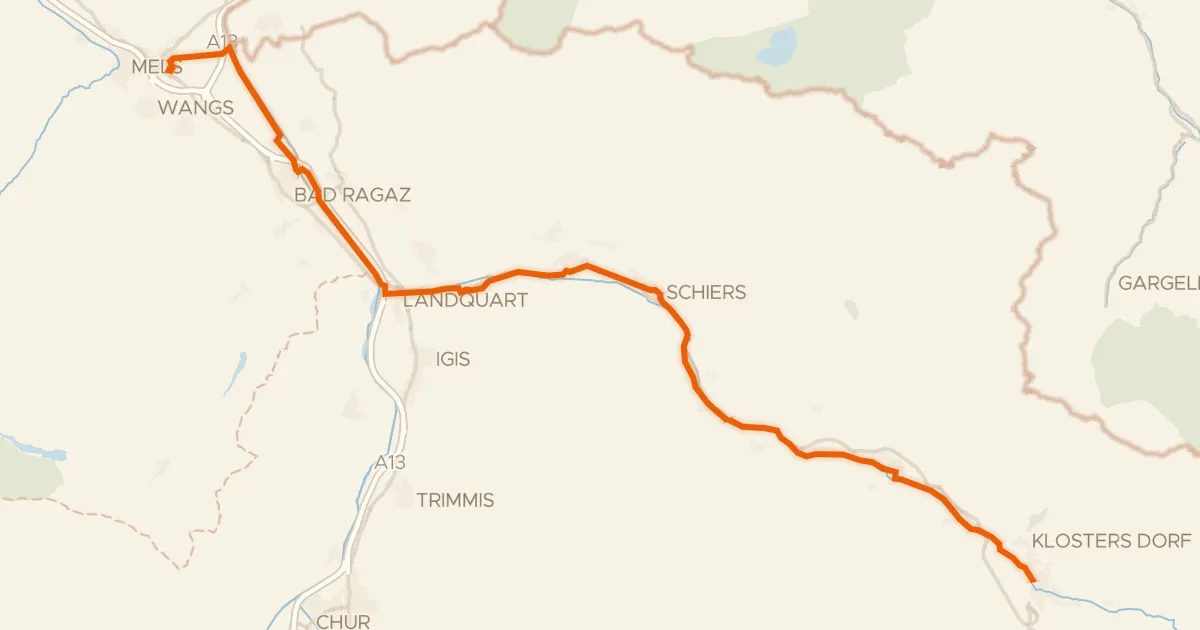
Prättigauer Route
48 km↑ 244 m2 km away

Gravel25% paved
Rondje Schloss Haldenstein en Tamina
52 km↑ 2,276 m19 km away
Touring72% paved
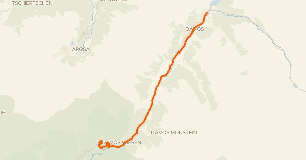
Davos
20 km↑ 535 m25 km away
Gravel69% paved
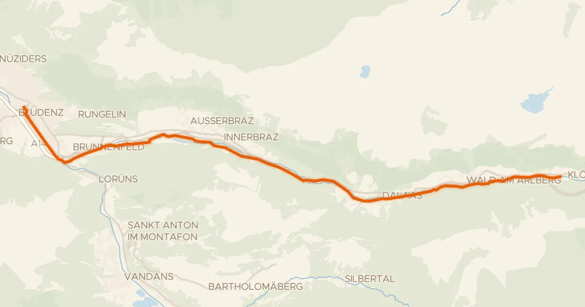
Klostertal Route
24 km↑ 620 m27 km away

Gravel24% paved
Rondje Parc Ela en Albula
77 km↑ 3,690 m29 km away
Touring93% paved
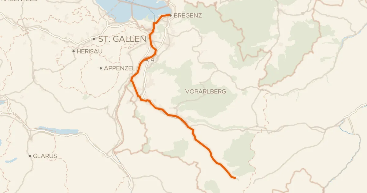
Ill-Rhein Route
97 km↑ 1,059 m31 km away