Back to the librarykm 2–3km 8–18
TouringRound trip
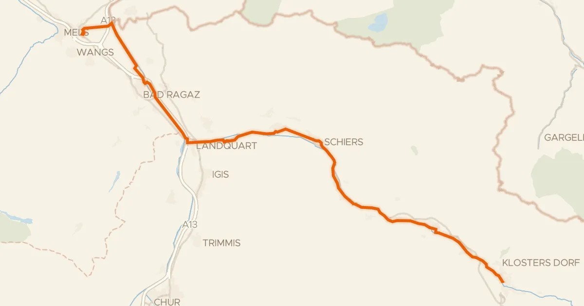
Rundtour über den Rhein
Distance
30 km
Ascent
1,230 m
Highest point
1,601 m
80% paved
Start from your location
Ride there from home: we find the shortest way to the loop and start the loop from there.
The ride
A 29.9 km ride with 1230 m of climbing, mostly on country roads (68%). The surface is 80% paved and 19% unpaved, with dirt tracks making up 13% of the route. Protected cycleways and bike-network roads cover 27%, and busy roads without a cycle path? Zero percent. Residential roads fill in 11% of the way.
Climbs
Climb 1Hill
1.4 km at 5.4% · max 11.4%
Climb 2HC
9.6 km at 9.6% · max 29.3%
Routes nearby
Road bike100% paved
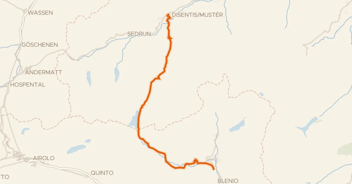
Percorso Blenio - Lucomagno
35 km↑ 1,163 m32 km away
Passo del Lucomagno · Lukmanier Passhöhe
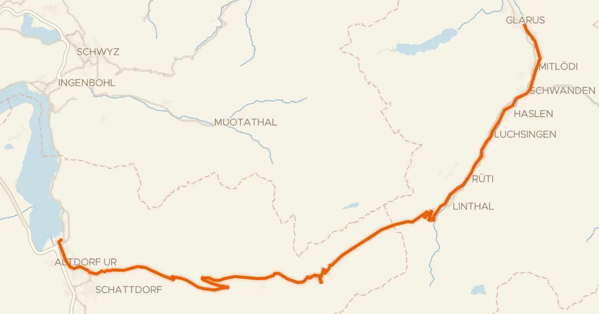
Touring94% paved
Alpenpanorama-Route
68 km↑ 2,136 m33 km away
Klausenpass
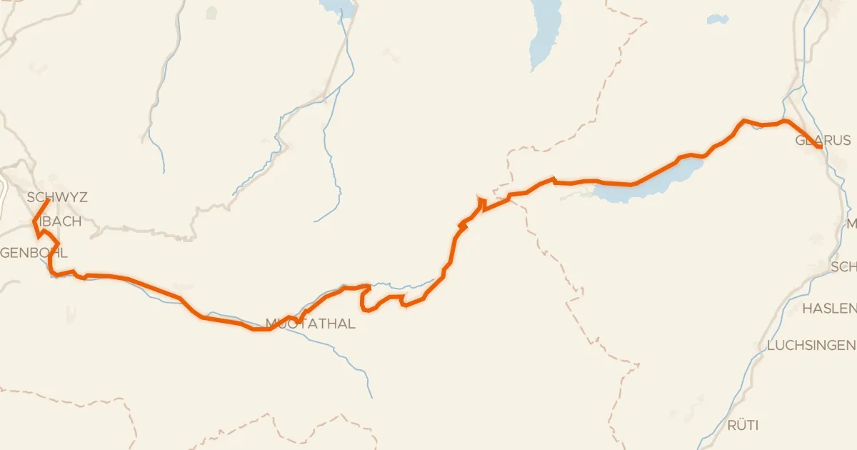
Road bike100% paved
Suworow-Route
49 km↑ 1,495 m37 km away
Pragelpass · Südlich Pragelpass
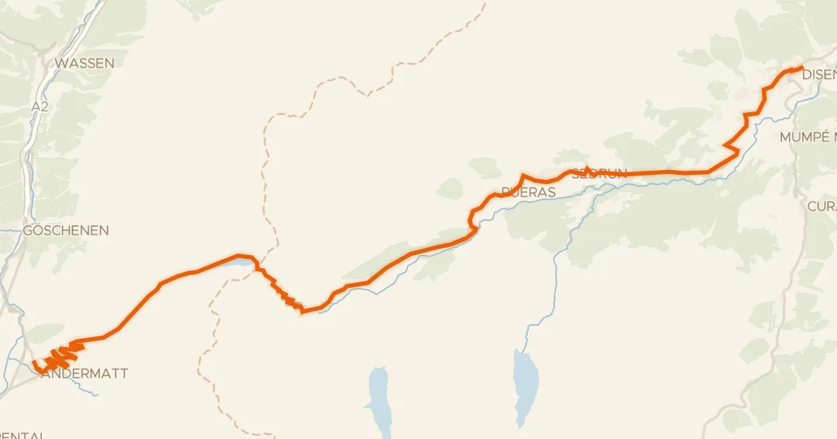
Road bike100% paved
Rhein-Route
32 km↑ 817 m38 km away
Oberalppass
Touring70% paved
Prättigauer Route
48 km↑ 244 m40 km away
Touring72% paved
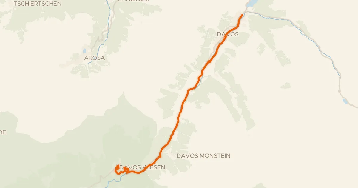
Davos
20 km↑ 535 m44 km away