Back to the librarykm 13–15km 15–17km 17–18km 40–40km 41–41km 42–42
GravelMade by RouteCasterRound trip
Rondje Palais Kneissl en Lafnitz
Distance
59 km
Ascent
667 m
Highest point
368 m
28% paved
Start from your location
Ride there from home: we find the shortest way to the loop and start the loop from there.
The ride
Roll out of Stegersbach and let the route carry you toward the Lafnitz river, then on to Palais Kneissl, a manor that marks the turning point of the day. Of the 59.4 km, most runs unpaved, so the mix of surfaces keeps the riding varied from start to finish. With 667 m of climbing spread across the loop, the elevation builds gently into the ride. The road brings you back to Stegersbach, where the loop closes.
Climbs
Climb 1Hill
1.6 km at 4.2% · max 14.9%
Climb 2Hill
1.6 km at 3.8% · max 12.3%
Climb 3Hill
0.9 km at 4.4% · max 7.8%
Climb 4Hill
0.3 km at 11.9% · max 15%
Climb 5Hill
0.5 km at 9.6% · max 18.7%
Climb 6Hill
0.7 km at 7.4% · max 16.5%
Routes nearby

Road bike100% paved
Langs de Pinka en Strem
74 km↑ 623 m7 km away
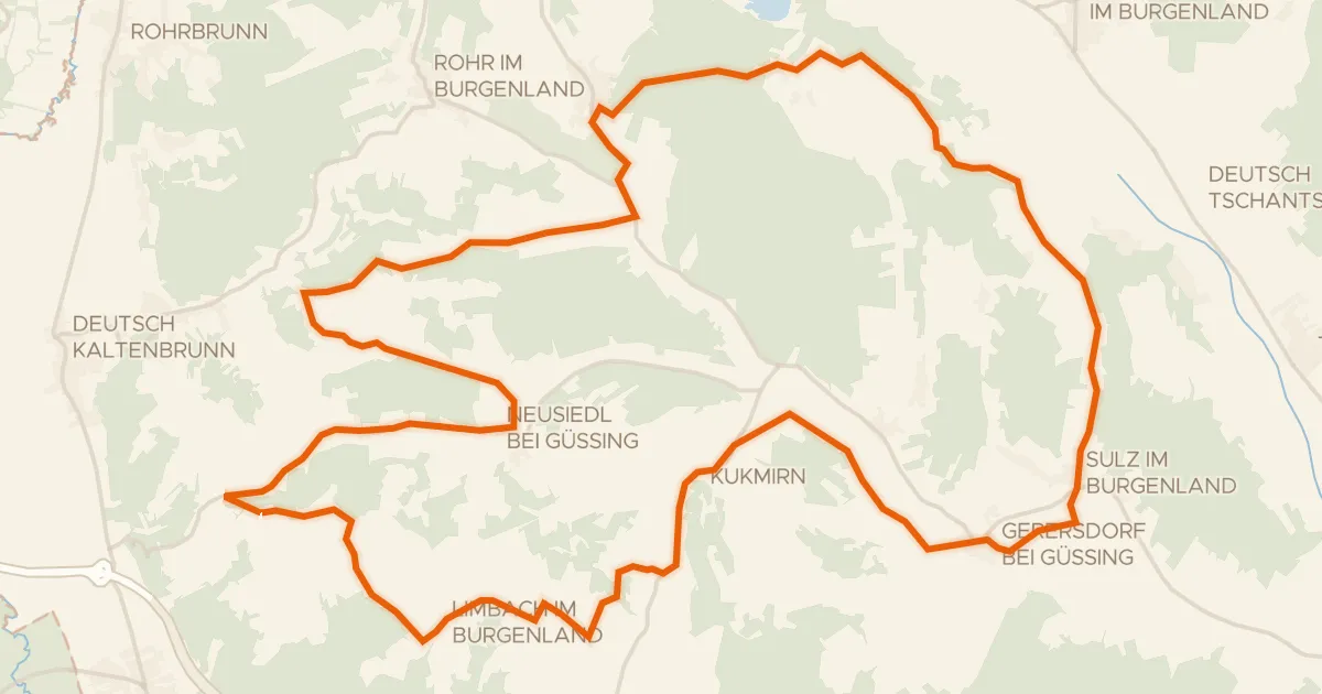
Road bike100% paved
Apfelradweg
41 km↑ 613 m8 km away
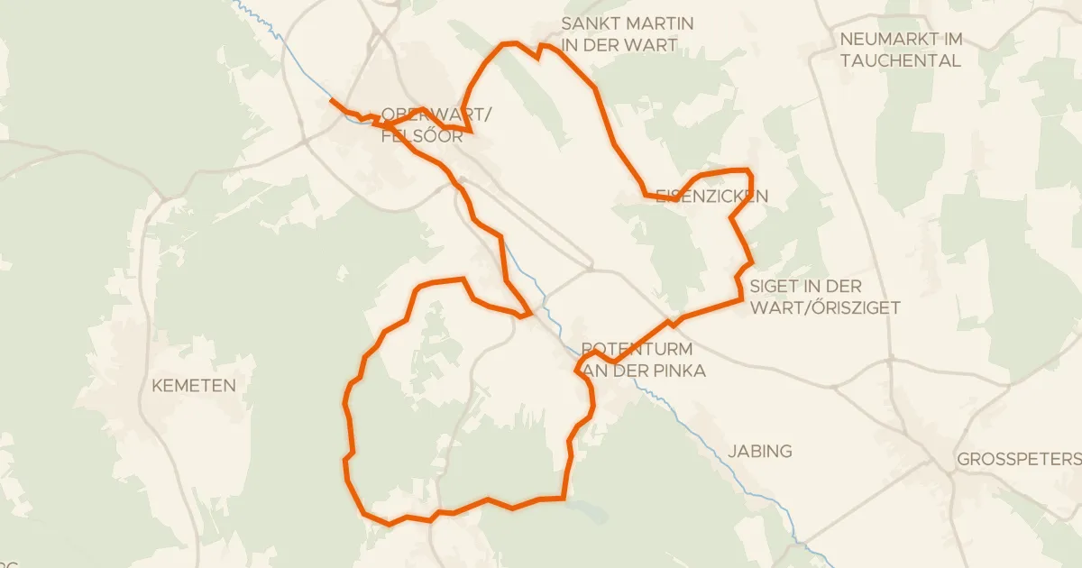
Touring94% paved
Lebenswartweg Oberwart
33 km↑ 409 m13 km away

Gravel36% paved
Langs de Safen en de Pöllauer Saifen
64 km↑ 788 m13 km away

Road bike99% paved
Rondje Schloss Kornberg en Feistritz
98 km↑ 1,127 m16 km away

Gravel47% paved
Rondje Feistritz en Ilzbach
61 km↑ 894 m19 km away