Back to the librarykm 1–3km 17–19km 19–20km 21–27km 28–31km 41–41
GravelMade by RouteCasterRound trip
Rondje Monti dei Sette Fratelli en Santu Teru
Distance
60 km
Ascent
1,111 m
Highest point
787 m
15% paved
Start from your location
Ride there from home: we find the shortest way to the loop and start the loop from there.
The ride
Roll out of Ùssana on a route that keeps climbing, with 1111 m of elevation gain across 59.8 km. Most of the way is unpaved, so the ride leads you into the Monti dei Sette Fratelli nature reserve before dropping toward the Santu Teru river. Then it's back to the village where you started.
Climbs
Climb 1Cat. 4
1.9 km at 5.1% · max 12.8%
Climb 2Cat. 4
2.5 km at 4.9% · max 15.2%
Climb 3Hill
1.1 km at 4.9% · max 14.7%
Climb 4Cat. 2
6.2 km at 6.4% · max 22.4%
Climb 5Cat. 3
3.5 km at 5.1% · max 18.8%
Climb 6Hill
0.5 km at 8% · max 25.6%
Routes nearby

Road bike100% paved
Rondje Riu Cixerri en Riu Mannu
73 km↑ 341 m25 km away

Road bike100% paved
Rondje Castello di Sanluri en Flumini Mannu
79 km↑ 483 m27 km away

Road bike98% paved
Langs de Tirso en het Lago Omodeo
78 km↑ 1,088 m73 km away

Road bike100% paved
Rondje Tirso en Riu di Mare Foghe
79 km↑ 828 m75 km away

Road bike97% paved
Rondje Lago Omodeo en Fiume Tirso
81 km↑ 1,253 m82 km away
Road bike100% paved
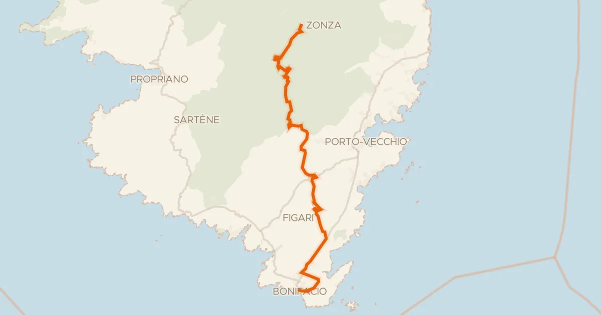
GT20 / Étape 12 : Zonza - Bunifaziu
71 km↑ 1,194 m242 km away
Col de Bacinu · Col de Bulgara