Back to the librarykm 22–25km 36–41km 57–72
Road bikeMade by RouteCasterRound trip
Rondje Lago Omodeo en Fiume Tirso
Distance
81 km
Ascent
1,253 m
Highest point
628 m
97% paved
Start from your location
Ride there from home: we find the shortest way to the loop and start the loop from there.
The ride
Roll out of Ula/Ulà Tirso and let the road carry you toward Lago Omodeo, a lake that opens the ride. From there the route follows the Tirso, then the Fiume Tirso and the Fiume Taloro, river after river. With 81.0 km ahead and 1253 m of climbing, the day builds steadily before looping you back to the village where you started.
Climbs
Climb 1Cat. 4
2.3 km at 6.1% · max 28.4%
Climb 2Cat. 3
4.8 km at 3.6% · max 23.3%
Valico Santa VittoriaCat. 2
15.2 km at 3.4% · max 15.9%
Routes nearby

Road bike98% paved
Langs de Tirso en het Lago Omodeo
78 km↑ 1,088 m12 km away

Road bike100% paved
Rondje Tirso en Riu di Mare Foghe
79 km↑ 828 m17 km away

Road bike100% paved
Rondje Castello di Sanluri en Flumini Mannu
79 km↑ 483 m57 km away

Gravel15% paved
Rondje Monti dei Sette Fratelli en Santu Teru
60 km↑ 1,111 m79 km away

Road bike100% paved
Rondje Riu Cixerri en Riu Mannu
73 km↑ 341 m82 km away
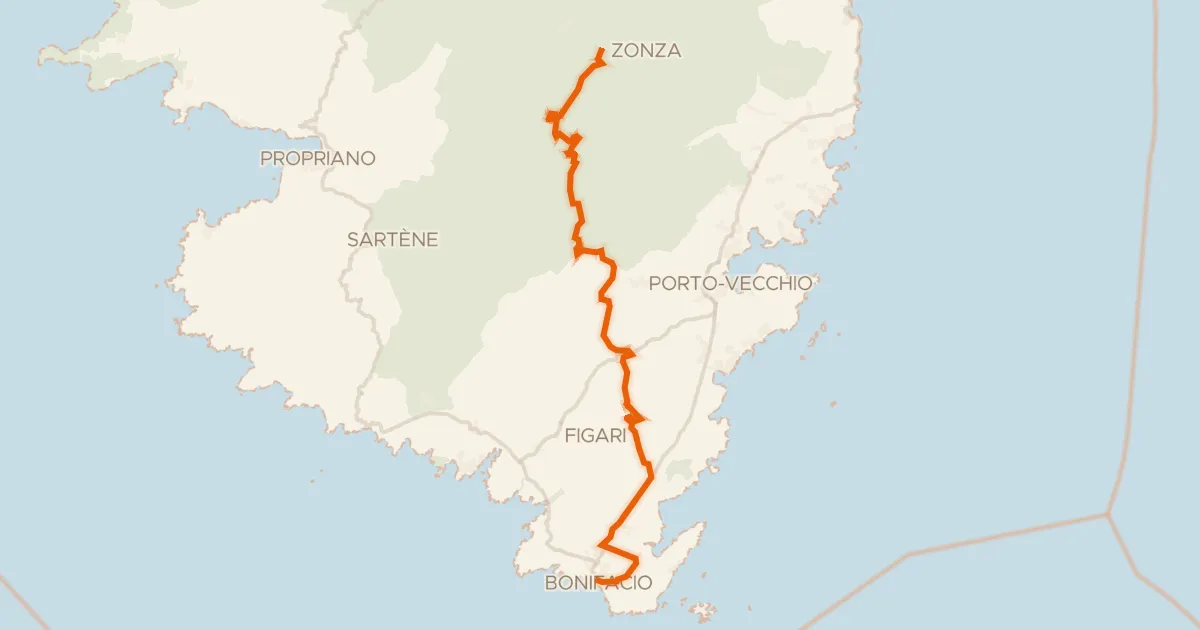
Road bike100% paved
GT20 / Étape 12 : Zonza - Bunifaziu
71 km↑ 1,194 m171 km away
Col de Bacinu · Col de Bulgara