Back to the librarykm 0–7km 13–15km 26–39km 48–50km 53–60
Road bikeMade by RouteCasterRound trip
Rondje Letziturm en Lorze
Distance
69 km
Ascent
1,621 m
Highest point
1,407 m
100% paved
Start from your location
Ride there from home: we find the shortest way to the loop and start the loop from there.
The ride
From Unterägeri you roll out and follow the Lorze and Biber rivers before the Alp and Minster take their turns. Along the way the Ital-Reding-Haus and Archivturm castles slip by, with Palais Nideröst and Letziturm rounding out the ride. It's 69.4 km, entirely paved, with 1621 m of climbing to keep the legs honest. Back in Unterägeri before you know it.
Climbs
RatenCat. 2
7.2 km at 4.8% · max 19.8%
Climb 2Cat. 4
2.4 km at 4.8% · max 12.6%
IbergereggCat. 2
13.5 km at 3.8% · max 17.1%
Climb 4Hill
1.3 km at 5.2% · max 10.6%
Climb 5Cat. 3
7.1 km at 4.4% · max 20.1%
Routes nearby
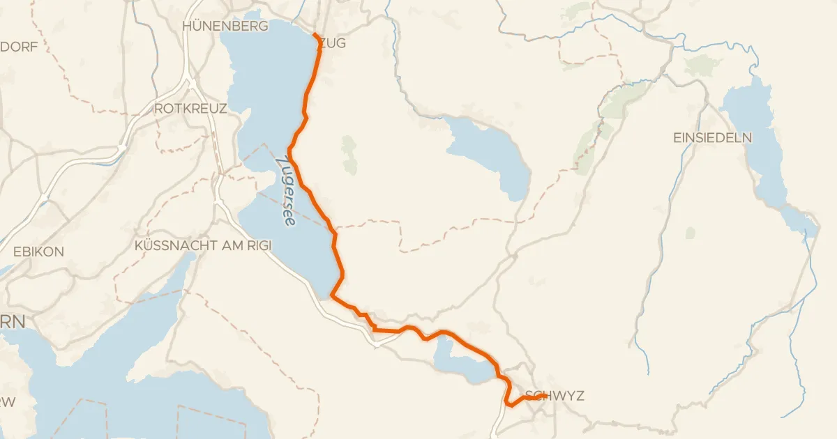
Touring94% paved
Säuliamt-Schwyz
28 km↑ 364 m5 km away
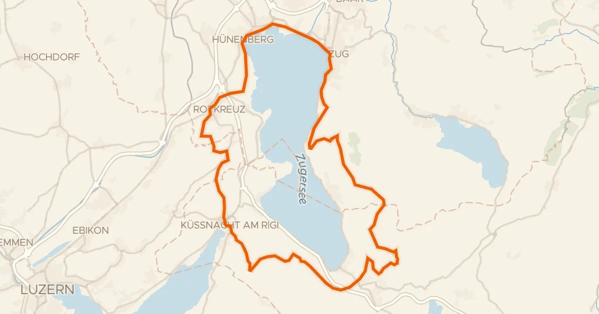
Gravel47% paved
Rondje langs de Zugersee en de Lorze
58 km↑ 2,165 m7 km away
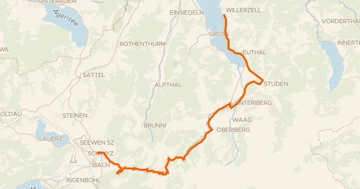
Road bike100% paved
Ibergeregg-Sattelegg-Linth
32 km↑ 1,080 m15 km away
Ibergeregg

Road bike99% paved
Langs de Lorze en de Zugersee
73 km↑ 888 m16 km away
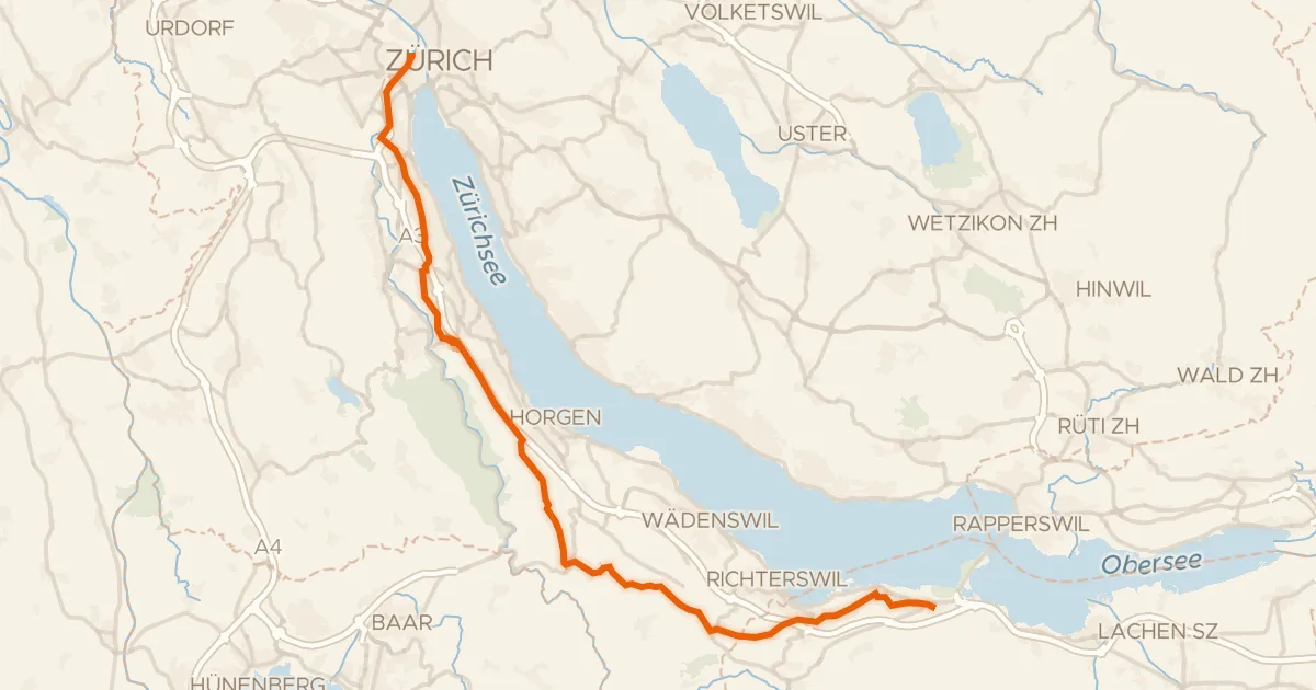
Road bike97% paved
Rhein-Hirzel-Linth
39 km↑ 556 m17 km away
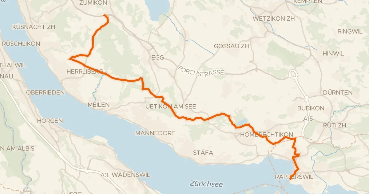
Road bike98% paved
Rapperswil - Forch
29 km↑ 381 m19 km away
Türli · Wasserscheide Limmat/Aa